
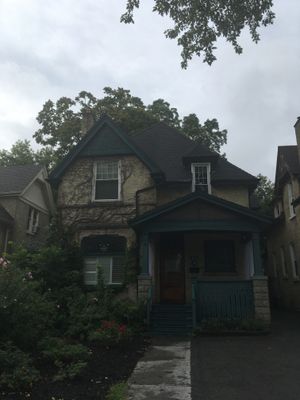
419 Central Avenue, woonhuis in London, Canada
Locatie: London
Ontstaan: 1900
Onderdeel van: West Woodfield Heritage Conservation District
Adres: 419 Central Avenue
GPS-coördinaten: 42.99246,-81.24198
Laatste update: 11 maart 2025 om 12:52

Victoria Park
703 m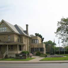
Banting House
866 m
One London Place
842 m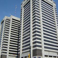
City Centre Towers
842 m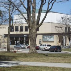
Centennial Hall
530 m
Oakhurst
821 m
Dundas Street Centre United Church
671 m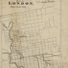
Plan of London shewing the gas lamps
881 m
Fire Hall No. 4
862 m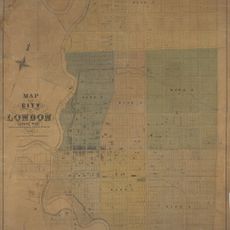
Map of the City of London Canada West
621 m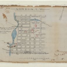
London CW
621 m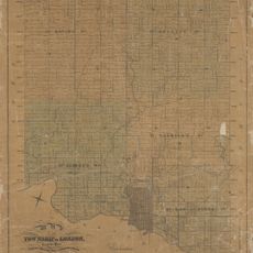
Map of the Township of London, Canada West, 1863
881 m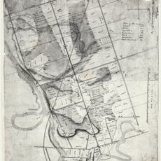
London C.W. Sketch of Country
621 m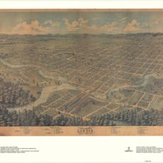
Bird's Eye View of London, Ontario, Canada, 1872
621 m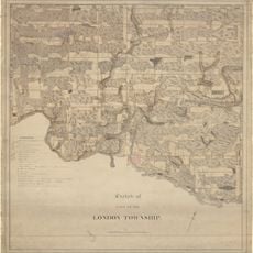
Sketch of part of the London Township
881 m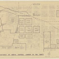
Features of North Central London in the 1840s
621 m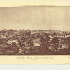
London, Canada West
621 m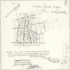
Crown Lands Dept Plan of London
621 m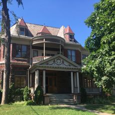
308 Princess Avenue
421 m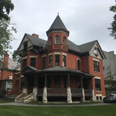
496 Waterloo Street
443 m
Ontario and Quebec Ry. Detroit Extension Plan and Profile of Right-of-way Through the City of London, West of Richmond Street
621 m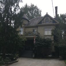
527 Princess Avenue
445 m
501-503 Colborne Street
325 m
22 Peter Street
552 m
Elsie Perrin Williams Memorial Library
716 m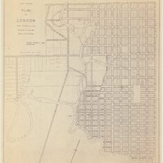
Plan of London
621 m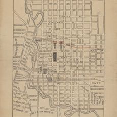
Proposed Route of the West Ontario Pacific Railroad through the City of London
758 m
398 Piccadilly Street
555 mHeeft u deze plek bezocht? Tik op de sterren om een beoordeling te geven en uw ervaring of foto's te delen met de community! Probeer het nu! U kunt het op elk moment annuleren.
Ontdek verborgen schatten op elk avontuur!
Van karakteristieke kleine cafeetjes tot geheime uitzichtpunten – ontvlucht de drukte en vind plekken die echt bij jou passen. Onze app maakt het makkelijk: spraakzoekopdrachten, slimme filters, geoptimaliseerde routes en authentieke tips van reizigers wereldwijd. Download nu en beleef het avontuur op je smartphone!

Een nieuwe benadering van toeristische ontdekking❞
— Le Figaro
Alle plekken die de moeite waard zijn om te ontdekken❞
— France Info
Een uitstapje op maat in slechts een paar klikken❞
— 20 Minutes