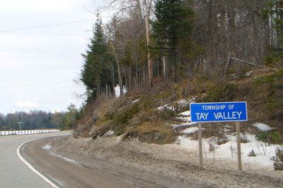
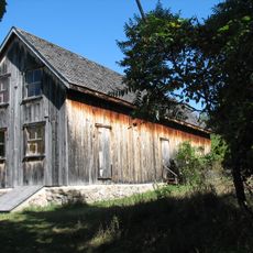
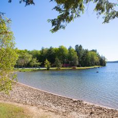
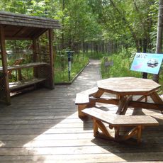
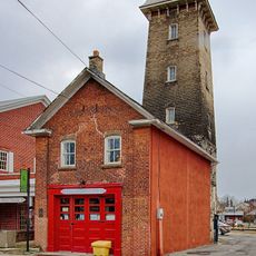
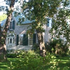
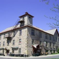
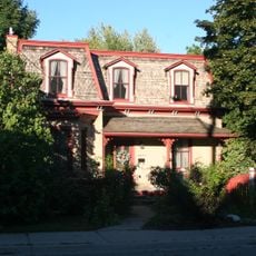
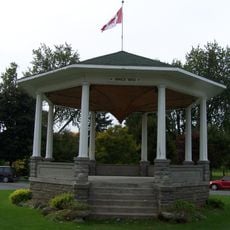
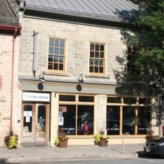
Tay Valley, gemeente in Lanark County, Ontario, Canada
Locatie: Lanark County
Ontstaan: 1 januari 1998
Grenst aan: Drummond/North Elmsley, Perth, South Frontenac, Rideau Lakes, Central Frontenac, Lanark Highlands
Website: https://tayvalleytwp.ca
GPS-coördinaten: 44.87833,-76.39861
Laatste update: 3 maart 2025 om 15:01
Murphys Point Provincial Park
19 km
Silver Lake Provincial Park
15.1 km
Purdon Conservation Area
17.3 km
Matheson House
11.9 km
Perkins Motors
11.7 km
St. James the Apostle Anglican Church, rectory and stone wall
12.3 km
Old Fire Hall
12.1 km
Old Perth Library/Perth Public Library/McMillan Building
12.1 km
St. Andrew's Presbyterian Church
12 km
Inge-Va
12.1 km
Code's Mill
11.9 km
Waddell House
12.4 km
John Doran House (St. George's Hotel)
12.2 km
Haggart House
11.8 km
McMartin House
12.2 km
Perth Town Hall
12 km
Doran Block (Riverside Apartments)
12.1 km
2-6 Wilson Street East
11.8 km
43-45 North Street
11.8 km
Roderick Matheson Building (Shaw's of Perth)
11.9 km
John Hart House
12 km
Gemmill House
12 km
Former Perth Public Utilities Commission Building
11.9 km
Roderick Matheson Building (Kellock Block 1)
12 km
Doctor's House
11.7 km
Bandstand
12 km
31 Foster Street
12 km
Soong Building
12 kmHeeft u deze plek bezocht? Tik op de sterren om een beoordeling te geven en uw ervaring of foto's te delen met de community! Probeer het nu! U kunt het op elk moment annuleren.
Ontdek verborgen schatten op elk avontuur!
Van karakteristieke kleine cafeetjes tot geheime uitzichtpunten – ontvlucht de drukte en vind plekken die echt bij jou passen. Onze app maakt het makkelijk: spraakzoekopdrachten, slimme filters, geoptimaliseerde routes en authentieke tips van reizigers wereldwijd. Download nu en beleef het avontuur op je smartphone!
Een nieuwe benadering van toeristische ontdekking❞
— Le Figaro
Alle plekken die de moeite waard zijn om te ontdekken❞
— France Info
Een uitstapje op maat in slechts een paar klikken❞
— 20 Minutes