Thunder Hill Provincial Park, provincial park in British Columbia
Locatie: Regional District of East Kootenay
Ontstaan: 5 februari 1960
Website: http://www.env.gov.bc.ca/bcparks/explore/parkpgs/thunder/
Website: http://env.gov.bc.ca/bcparks/explore/parkpgs/thunder
GPS-coördinaten: 50.16806,-115.85528
Laatste update: 28 maart 2025 om 03:54
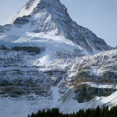
Mount Assiniboine
79.5 km
Nationaal park Kootenay
80.8 km
Jumbo Glacier
57.3 km
Peter Lougheed Provincial Park
73.9 km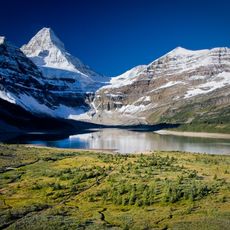
Mount Assiniboine Provincial Park
76.5 km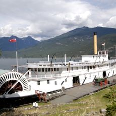
Moyie
80.1 km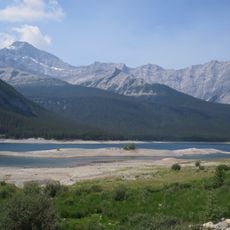
Spray Lakes Reservoir
90.5 km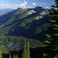
Island Lake Lodge
88.1 km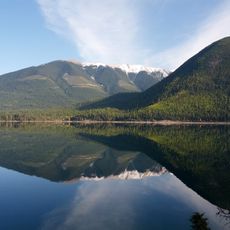
Whiteswan Lake Provincial Park
22.8 km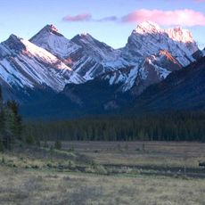
Spray Valley Provincial Park
90.3 km
Mount Farnham
57.3 km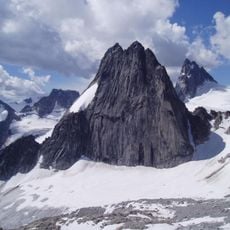
Snowpatch Spire
91.2 km
Pigeon Spire
91.3 km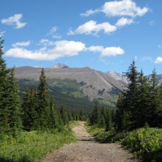
Elbow-Sheep Wildland Provincial Park
79 km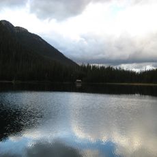
Top of the World Provincial Park
47.3 km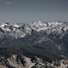
Purcell Wilderness Conservancy Park Corridor Protected Area
48.4 km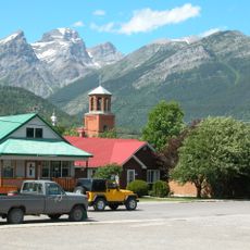
Fernie Formation
85 km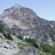
Conrad Kain hut
90.4 km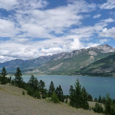
Columbia Lake Provincial Park
14.4 km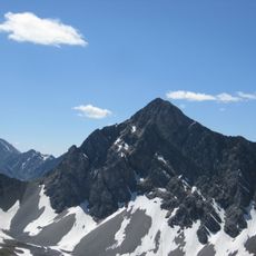
Mount Tyrwhitt
75.3 km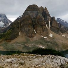
Sunburst Peaks
82.7 km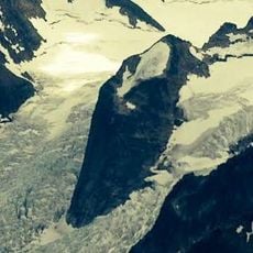
Hound's Tooth
89.9 km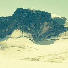
Marmolata Mountain
90 km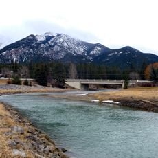
Fairmont Bridge
17.4 km
Buller Mountain
89.1 km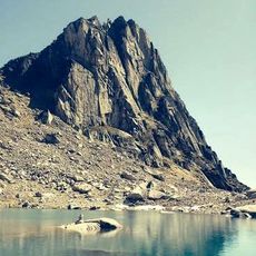
Eastpost Spire
91.1 km
Canadian Museum of Rail Travel
73.4 km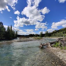
Fitzsimmons Creek Provincial Recreational Area
86.9 kmBeoordelingen
Heeft u deze plek bezocht? Tik op de sterren om een beoordeling te geven en uw ervaring of foto's te delen met de community! Probeer het nu! U kunt het op elk moment annuleren.
Ontdek verborgen schatten op elk avontuur!
Van karakteristieke kleine cafeetjes tot geheime uitzichtpunten – ontvlucht de drukte en vind plekken die echt bij jou passen. Onze app maakt het makkelijk: spraakzoekopdrachten, slimme filters, geoptimaliseerde routes en authentieke tips van reizigers wereldwijd. Download nu en beleef het avontuur op je smartphone!

Een nieuwe benadering van toeristische ontdekking❞
— Le Figaro
Alle plekken die de moeite waard zijn om te ontdekken❞
— France Info
Een uitstapje op maat in slechts een paar klikken❞
— 20 Minutes