
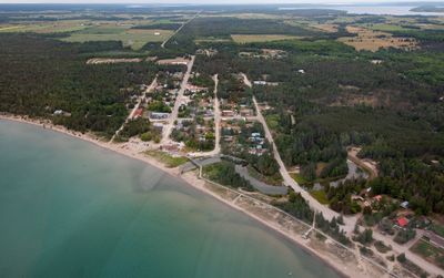
Central Manitoulin, township municipality in Ontario, Canada
Website: https://centralmanitoulin.ca
GPS-coördinaten: 45.71667,-82.20000
Laatste update: 21 maart 2025 om 08:35

Nationaal park Bruce Peninsula
70.1 km
Killarney Provincial Park
78.6 km
Fathom Five National Marine Park
62.8 km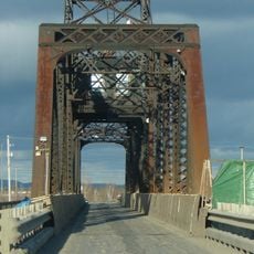
Little Current Swing Bridge
36.8 km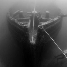
Thunder Bay National Marine Sanctuary
114.4 km
La Cloche Provincial Park
45.3 km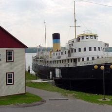
SS Norisle
5.6 km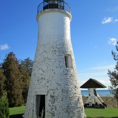
Old Presque Isle Light
108.1 km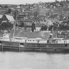
SS Russia (1872)
108.8 km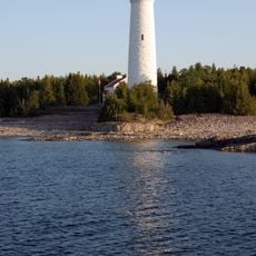
Cove Island Light
56.6 km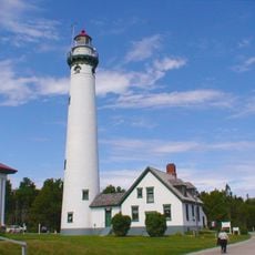
New Presque Isle Light
108.4 km
Rockport State Recreation Area
109.6 km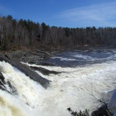
Chutes Provincial Park
57.1 km
Killarney Provincial Park Observatory
70.3 km
Thompson's Harbor State Park
114.6 km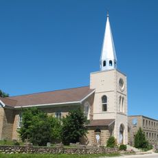
Holy Cross Church, Wikwemikong
39.4 km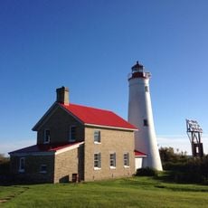
Thunder Bay Island Light
108.5 km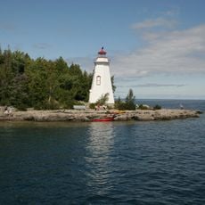
Big Tub Lighthouse
65.6 km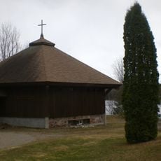
Anishinabe Spiritual Centre
67.6 km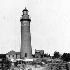
Middle Island Light
105.2 km
Cabot Head Provincial Nature Reserve
81.4 km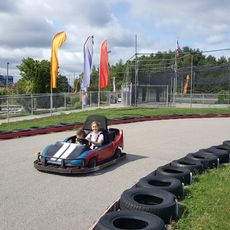
Arzo Sports and Fun Park
116.5 km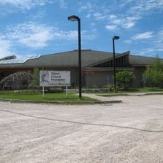
Ojibwe Cultural Foundation
12.6 km
Fire Tower Mountain
81.6 km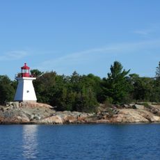
Killarney East Lighthouse
61.8 km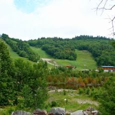
Mount Dufour
82.4 km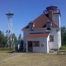
Cabot Head Lighthouse
88.2 km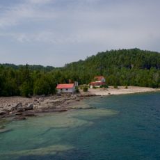
Flowerpot Island Lighthouse
64.5 kmBeoordelingen
Heeft u deze plek bezocht? Tik op de sterren om een beoordeling te geven en uw ervaring of foto's te delen met de community! Probeer het nu! U kunt het op elk moment annuleren.
Ontdek verborgen schatten op elk avontuur!
Van karakteristieke kleine cafeetjes tot geheime uitzichtpunten – ontvlucht de drukte en vind plekken die echt bij jou passen. Onze app maakt het makkelijk: spraakzoekopdrachten, slimme filters, geoptimaliseerde routes en authentieke tips van reizigers wereldwijd. Download nu en beleef het avontuur op je smartphone!

Een nieuwe benadering van toeristische ontdekking❞
— Le Figaro
Alle plekken die de moeite waard zijn om te ontdekken❞
— France Info
Een uitstapje op maat in slechts een paar klikken❞
— 20 Minutes