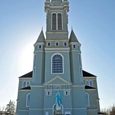
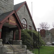
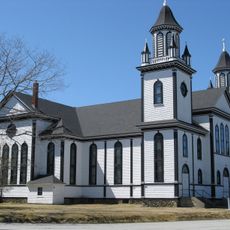
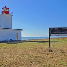
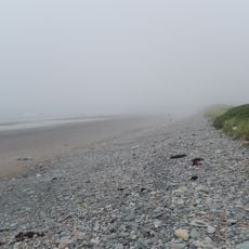
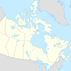
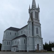
Yarmouth, municipal district in Nova Scotia, Canada
Locatie: Yarmouth County
Ontstaan: 17 april 1879
Grenst aan: Municipality of the District of Clare
Website: http://district.yarmouth.ns.ca
GPS-coördinaten: 43.87560,-66.12120
Laatste update: 25 maart 2025 om 08:54
Cape Forchu Lighthouse
9.5 km
Église Sainte-Marie, Church Point, Nova Scotia
51 km
Yarmouth County Museum & Archives
4.4 km
Smuggler's Cove Provincial Park
33.1 km
Barrington Woolen Mill
55.5 km
Argyle Township Court House and Jail
12 km
Southwest Nova Biosphere Reserve
57.2 km
Balancing Rock
54.9 km
Sainte Anne's Catholic Church
15.5 km
Cape St. Marys Lighthouse
24.4 km
Mavillette Beach Provincial Park
24.5 km
Seal Island (replica) lighthouse
55.4 km
Blacksmiths Beach
70.5 km
Old Barrington Meeting House
55.5 km
Église catholique Sainte-Marie
51 km
Frost Park
4.1 km
Boar's Head light
59.3 km
Bunker Island lighthouse
7.3 km
Abbott's Harbour lighthouse
37.2 km
Brier Island Lighthouse
46.9 km
Church Point lighthouse
50.8 km
Grand Passage light
49.1 km
Woods Harbour lighthouse
49.9 km
Sandy Point light
67.2 km
Cape Sable Lighthouse
67.4 km
Cox's Warehouse
65.3 km
Peter Island lighthouse
45.8 km
Gilbert's Cove Lighthouse
70.2 kmBeoordelingen
Heeft u deze plek bezocht? Tik op de sterren om een beoordeling te geven en uw ervaring of foto's te delen met de community! Probeer het nu! U kunt het op elk moment annuleren.
Ontdek verborgen schatten op elk avontuur!
Van karakteristieke kleine cafeetjes tot geheime uitzichtpunten – ontvlucht de drukte en vind plekken die echt bij jou passen. Onze app maakt het makkelijk: spraakzoekopdrachten, slimme filters, geoptimaliseerde routes en authentieke tips van reizigers wereldwijd. Download nu en beleef het avontuur op je smartphone!
Een nieuwe benadering van toeristische ontdekking❞
— Le Figaro
Alle plekken die de moeite waard zijn om te ontdekken❞
— France Info
Een uitstapje op maat in slechts een paar klikken❞
— 20 Minutes