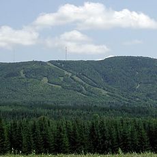
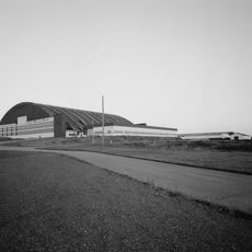
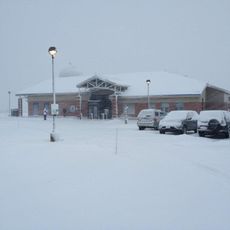
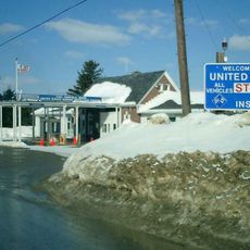
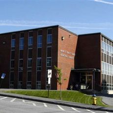
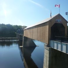
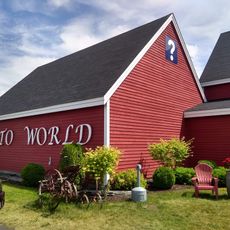
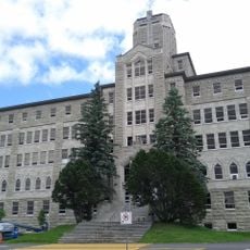
Victoria County, county in New Brunswick, Canada
Locatie: New Brunswick
Ontstaan: 1844
Grenst aan: Madawaska County
GPS-coördinaten: 47.07519,-67.32939
Laatste update: 7 maart 2025 om 19:37
Double Eagle II
72.6 km
Mount Carleton
48.1 km
Aroostook Valley Country Club
46.4 km
Mount Carleton Provincial Park
53.4 km
Mars Hill
71.8 km
Loring Commerce Centre
45.9 km
Aroostook National Wildlife Refuge
43.3 km
Big Bald Mountain
69.9 km
Loring Air Force Base Double Cantilever Hangar
45.3 km
Loring Air Force Base Arch Hangar
45.3 km
National Weather Service Caribou, Maine
56.8 km
Fort Fairfield - Andover Border Crossing
49.1 km
Mark and Emily Turner Memorial Library
68.2 km
Florenceville Bridge
73.9 km
Acadian Landing Site
77.8 km
Gustaf Adolph Lutheran Church
62 km
Musée Culturel du Mont-Carmel
63.1 km
Colonels Mountain
72 km
Gray Memorial United Methodist Church and Parsonage
57.5 km
Acadian Village
52.1 km
Fort Fairfield Public Library
51.1 km
Philo Reed House
50.6 km
Governor Brann School
48.2 km
P'tit Sault Blockhouse
81.7 km
Cathédrale de l'Immaculée-Conception d'Edmundston
82.4 km
Potato World
74.3 km
Isaie and Scholastique Martin House
82.4 km
Simon-Larouche Pavilion
81.5 kmHeeft u deze plek bezocht? Tik op de sterren om een beoordeling te geven en uw ervaring of foto's te delen met de community! Probeer het nu! U kunt het op elk moment annuleren.
Ontdek verborgen schatten op elk avontuur!
Van karakteristieke kleine cafeetjes tot geheime uitzichtpunten – ontvlucht de drukte en vind plekken die echt bij jou passen. Onze app maakt het makkelijk: spraakzoekopdrachten, slimme filters, geoptimaliseerde routes en authentieke tips van reizigers wereldwijd. Download nu en beleef het avontuur op je smartphone!
Een nieuwe benadering van toeristische ontdekking❞
— Le Figaro
Alle plekken die de moeite waard zijn om te ontdekken❞
— France Info
Een uitstapje op maat in slechts een paar klikken❞
— 20 Minutes