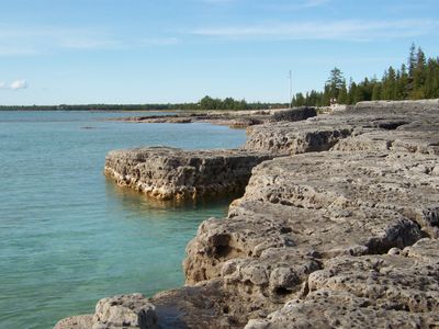
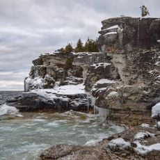
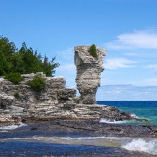
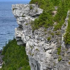
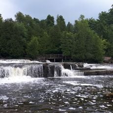
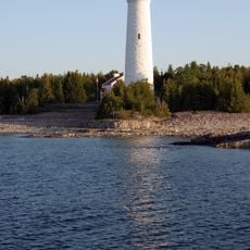
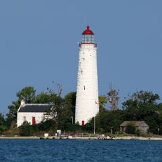
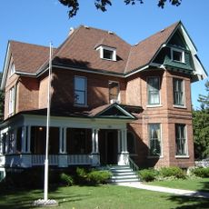
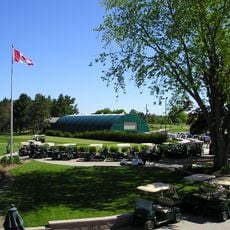
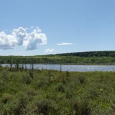
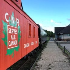
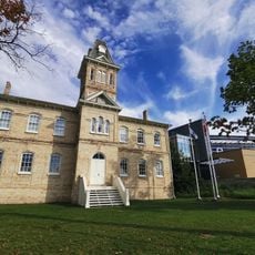
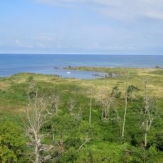
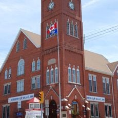
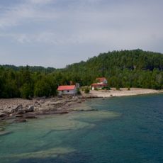
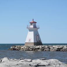
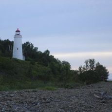
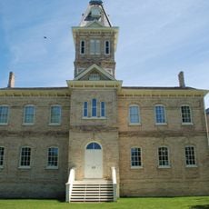
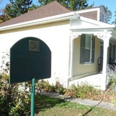
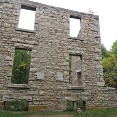
Northern Bruce Peninsula, municipality in Ontario, Canada
Locatie: Bruce County
Grenst aan: South Bruce Peninsula
Website: http://northbrucepeninsula.ca
GPS-coördinaten: 45.09917,-81.40694
Laatste update: 4 maart 2025 om 02:42
Nationaal park Bruce Peninsula
22.5 km
Fathom Five National Marine Park
30.1 km
Lion's Head Provincial Park
19.8 km
Sauble Falls Provincial Park
48.6 km
Cove Island Light
36.1 km
Chantry Island Lightstation Tower
67.9 km
Billy Bishop Home and Museum
69.5 km
Eramosa
60.6 km
Big Tub Lighthouse
27.3 km
Lion's Head Light
17.4 km
Cape Croker Light
38.6 km
Saugeen Golf Club
70.2 km
Cabot Head Provincial Nature Reserve
12.7 km
Community Waterfront Heritage Centre
69.2 km
Bruce County Museum & Cultural Centre
67.3 km
Tom Thomson Art Gallery
69.8 km
Black History Cairn (Owen Sound, Ontario)
71.8 km
Sauble Falls Bridge
48.5 km
Cabot Head Lighthouse
18.6 km
Chantry Island Migratory Bird Sanctuary
68.1 km
Southampton Town Hall
67.3 km
Flowerpot Island Lighthouse
28.3 km
Saugeen River Front Range Lighthouse
66.6 km
Griffith Island Light
49.1 km
1005 2nd Avenue East
69.6 km
Morton section of the Bruce County Museum (formerly 1878 Public School Building)
67.2 km
Journey's End - Captain Spence House
67 km
Old McNeil Estate
43 kmBeoordelingen
Heeft u deze plek bezocht? Tik op de sterren om een beoordeling te geven en uw ervaring of foto's te delen met de community! Probeer het nu! U kunt het op elk moment annuleren.
Ontdek verborgen schatten op elk avontuur!
Van karakteristieke kleine cafeetjes tot geheime uitzichtpunten – ontvlucht de drukte en vind plekken die echt bij jou passen. Onze app maakt het makkelijk: spraakzoekopdrachten, slimme filters, geoptimaliseerde routes en authentieke tips van reizigers wereldwijd. Download nu en beleef het avontuur op je smartphone!
Een nieuwe benadering van toeristische ontdekking❞
— Le Figaro
Alle plekken die de moeite waard zijn om te ontdekken❞
— France Info
Een uitstapje op maat in slechts een paar klikken❞
— 20 Minutes