
Taylor, district municipality in British Columbia
Locatie: Peace River Regional District
Ontstaan: augustus 1958
Hoogte boven de zeespiegel: 500 m
Grenst aan: Baldonnel
Website: http://districtoftaylor.com
GPS-coördinaten: 56.15900,-120.68800
Laatste update: 16 april 2025 om 08:26

Montney Formation
56.5 km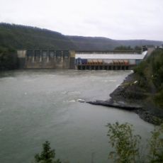
Peace Canyon Dam
83.5 km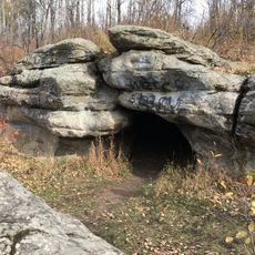
Charlie Lake Cave
20.3 km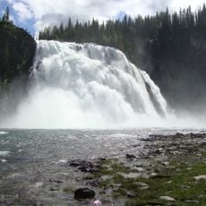
Kinuseo Falls
156.3 km
Dunvegan Provincial Park
132.8 km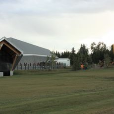
Philip J. Currie Dinosaur Museum
147.1 km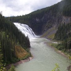
Monkman Provincial Park
176.3 km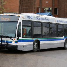
Grande Prairie Transit
162.2 km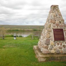
Fort Fork
199.2 km
Saskatoon Island Provincial Park
146.3 km
Bluesky Formation
159.5 km
Chinchaga Wildland Provincial Park
128.9 km
Dunvegan Formation
130.6 km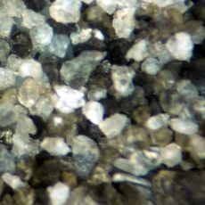
Peace River Formation
207.9 km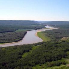
Peace River Wildland Provincial Park
182.4 km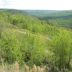
Greene Valley Provincial Park
214.9 km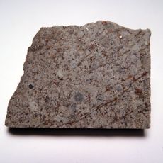
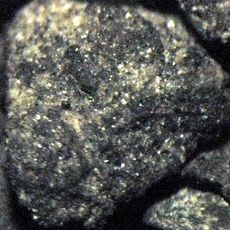
Peace River meteorite
170.9 km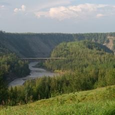
Kiskatinaw Provincial Park
23.5 km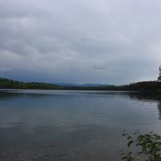
Heather-Dina Lakes Provincial Park
178.3 km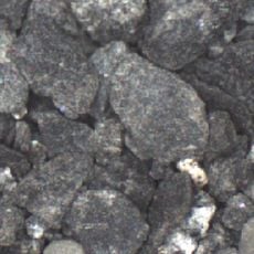
Kaskapau Formation
130.6 km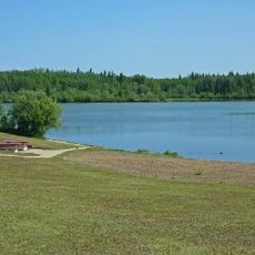
Figure Eight Lake Provincial Recreation Area
172.9 km
Grande Prairie High School
162 km
Fort St. John - North Peace Museum
13.3 km
Sexsmith Blacksmith Shop
149.5 km
Factor’s House
132.2 km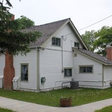
Reverend Forbes Homestead
162.1 km
Saskatoon Lake Migratory Bird Sanctuary
145 km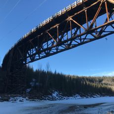
Kiskatinaw River Bridge
23.7 kmBeoordelingen
Heeft u deze plek bezocht? Tik op de sterren om een beoordeling te geven en uw ervaring of foto's te delen met de community! Probeer het nu! U kunt het op elk moment annuleren.
Ontdek verborgen schatten op elk avontuur!
Van karakteristieke kleine cafeetjes tot geheime uitzichtpunten – ontvlucht de drukte en vind plekken die echt bij jou passen. Onze app maakt het makkelijk: spraakzoekopdrachten, slimme filters, geoptimaliseerde routes en authentieke tips van reizigers wereldwijd. Download nu en beleef het avontuur op je smartphone!

Een nieuwe benadering van toeristische ontdekking❞
— Le Figaro
Alle plekken die de moeite waard zijn om te ontdekken❞
— France Info
Een uitstapje op maat in slechts een paar klikken❞
— 20 Minutes