
Laney Rim, cliff in Sweetwater County, Wyoming, United States of America
Locatie: Sweetwater County
GPS-coördinaten: 41.21357,-109.01651
Laatste update: 17 juni 2025 om 20:49
Flaming Gorge Reservoir
45.2 km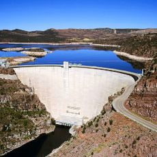
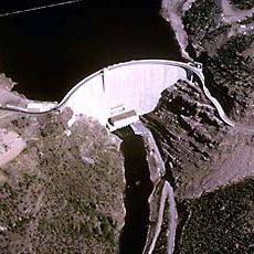
Flaming Gorge Dam
47.6 km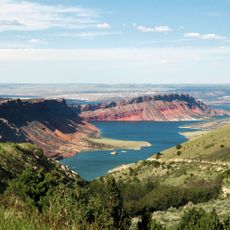
Flaming Gorge National Recreation Area
66.5 km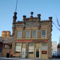
Sweetwater Brewery
51.5 km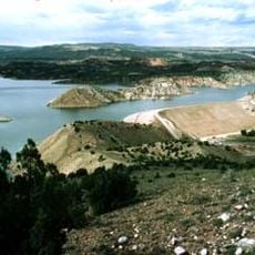
Red Fleet State Park
78.5 km
Expedition Island
51.3 km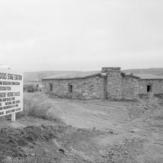
Point of Rocks Stage Station State Historic Site
54.7 km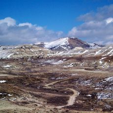
Wilkins Peak
41.8 km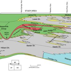
Almond Formation
47.2 km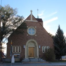
Our Lady of Sorrows Catholic Church
44.5 km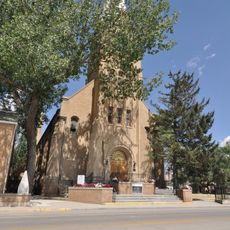
Saints Cyril and Methodius Catholic Church and Rectory
45.4 km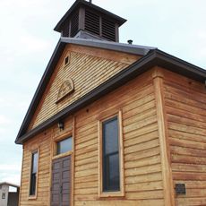
Old Ladore School
49.4 km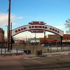
Downtown Rock Springs Historic District
44.9 km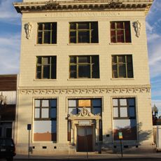
First National Bank Building
45.4 km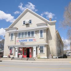
Slovenski Dom
45.4 km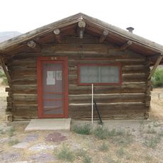
Upper Wade and Curtis Cabin
55.4 km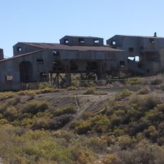
Reliance Tipple
52.8 km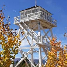
Ute Mountain Fire Tower
75.5 km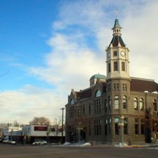
City Hall
44.7 km
Scott's Bottom Nature Area
47.3 km
Masonic Temple
44.7 km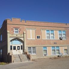
Reliance School and Gymnasium
51.9 km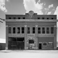
South Superior Union Hall
61.2 km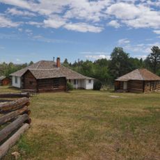
Swett Ranch
54.3 km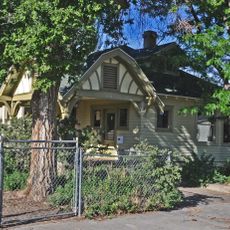
Gras House
45.2 km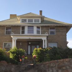
Taliaferro House
44.3 km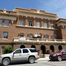
Rock Springs Elks' Lodge No. 624
44.6 km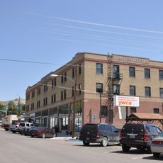
Green River Downtown Historic District
51.4 kmBeoordelingen
Heeft u deze plek bezocht? Tik op de sterren om een beoordeling te geven en uw ervaring of foto's te delen met de community! Probeer het nu! U kunt het op elk moment annuleren.
Ontdek verborgen schatten op elk avontuur!
Van karakteristieke kleine cafeetjes tot geheime uitzichtpunten – ontvlucht de drukte en vind plekken die echt bij jou passen. Onze app maakt het makkelijk: spraakzoekopdrachten, slimme filters, geoptimaliseerde routes en authentieke tips van reizigers wereldwijd. Download nu en beleef het avontuur op je smartphone!

Een nieuwe benadering van toeristische ontdekking❞
— Le Figaro
Alle plekken die de moeite waard zijn om te ontdekken❞
— France Info
Een uitstapje op maat in slechts een paar klikken❞
— 20 Minutes