
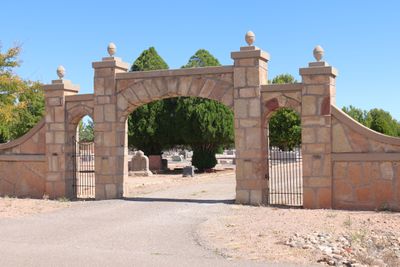
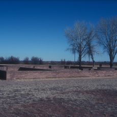
Fort Sumner Cemetery Wall and Entry
Fort Sumner Cemetery Wall and Entry
Locatie: Fort Sumner
Ontstaan: 1930s
GPS-coördinaten: 34.47750,-104.22861
Laatste update: 4 maart 2025 om 16:51
Fort Sumner
9 km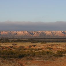
Caprock Escarpment
50.3 km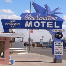
Blue Swallow Motel
90.4 km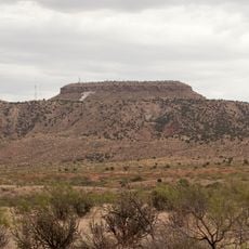
Tucumcari Mountain
87.7 km
Blackwater Draw archaeological site
86 km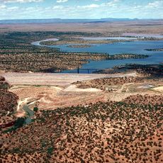
Santa Rosa Lake State Park
75.3 km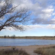
Oasis State Park
84.4 km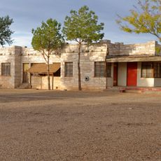
Cactus Motor Lodge
90.5 km
Richardson Store
70.4 km
Metropolitan Park Bathhouse and Pool Historic District
84 km
Roosevelt County Courthouse
88.2 km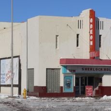
Odeon Theatre
90.6 km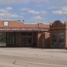
Midway Service Station
82.3 km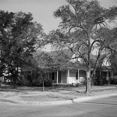
Baca-Goodman House
90.3 km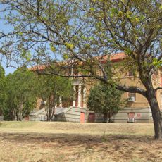
De Baca County Courthouse
1.4 km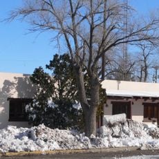
Arch Hurley Conservancy District Office Building
90.3 km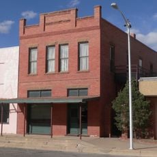
Bank of Portales
88.1 km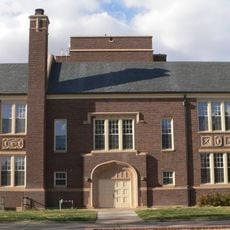
Administration Building
87.5 km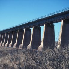
Fort Sumner Railroad Bridge
2.9 km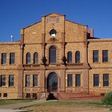
Guadalupe County Courthouse in Santa Rosa
66.5 km
Alexander Grzelachowski House and Store
53.4 km
J. Julian Moise House
66.2 km
Jesus M. Casaus House
65.7 km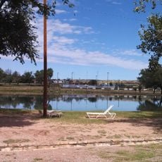
Park Lake Historic District
66 km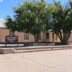
Fort Sumner Community House
1.5 km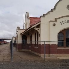
Tucumcari Railroad Museum
90.7 km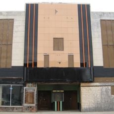
Princess Theatre
91 km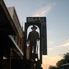
Billy The Kid Museum
1.3 kmHeeft u deze plek bezocht? Tik op de sterren om een beoordeling te geven en uw ervaring of foto's te delen met de community! Probeer het nu! U kunt het op elk moment annuleren.
Ontdek verborgen schatten op elk avontuur!
Van karakteristieke kleine cafeetjes tot geheime uitzichtpunten – ontvlucht de drukte en vind plekken die echt bij jou passen. Onze app maakt het makkelijk: spraakzoekopdrachten, slimme filters, geoptimaliseerde routes en authentieke tips van reizigers wereldwijd. Download nu en beleef het avontuur op je smartphone!

Een nieuwe benadering van toeristische ontdekking❞
— Le Figaro
Alle plekken die de moeite waard zijn om te ontdekken❞
— France Info
Een uitstapje op maat in slechts een paar klikken❞
— 20 Minutes