
Otavský dub, memorable tree in Strakonice District, Czech Republic
Locatie: Strakonice
Hoogte: 22 m
GPS-coördinaten: 49.26024,13.87693
Laatste update: 2 juni 2025 om 01:50
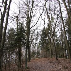
Kuřidlo
1.5 km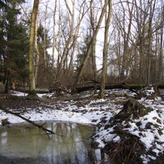
Bažantnice u Pracejovic
733 m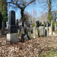
Jewish cemetery in Strakonice
854 m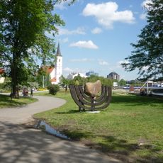
Memento strakonických Židů
1.7 km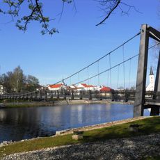
Footbridge over the Otava in Strakonice
1.7 km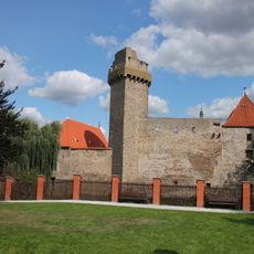
Tower of Strakonice Castle
1.8 km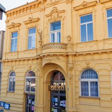
Sokolovna ve Strakonicích
1.8 km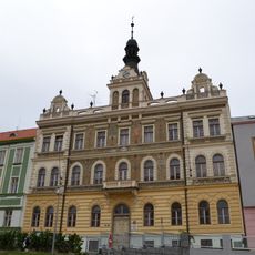
Old town hall in Strakonice
1.8 km
Socha Josefa Režného
1.7 km
Památník Jana Husa ve Strakonicích
1.7 km
Busta F. L. Čelakovského od Vojtěcha Šípa
1.1 km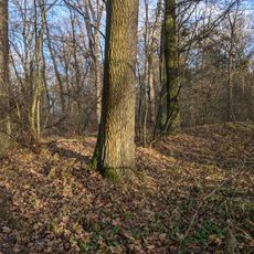
Rýžoviště zlata
867 m
City walls of Strakonice
1.7 km
Sirotčinec
1.8 km
Castle granary in Strakonice
1.7 km
Dům čp. 44
1.7 km
Velké náměstí 45
1.7 km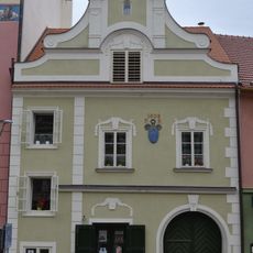
Dům U hroznu
1.8 km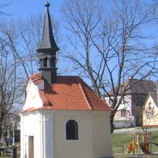
Chapel of Saint John of Nepomuk
1.6 km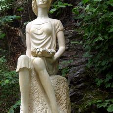
Socha Dorotky
1.3 km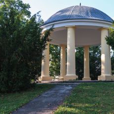
Cultural monuments in Rennerovy sady
1.8 km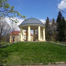
Gazebo in Rennerovy sady
1.8 km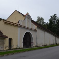
Panský dvůr
1.7 km
Švandova lípa
1.3 km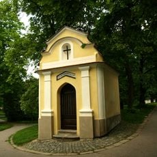
Chapel of Saint John of Nepomuk in Strakonice
1.7 km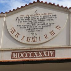
Sluneční hodiny na nádvoří hradu ve Strakonicích
1.8 km
Kříž na památku obětí letecké havarie u letiště ve Strakonicích
1.3 km
Pamětní deska T. G. Masaryka ve Strakonicích
1.8 kmHeeft u deze plek bezocht? Tik op de sterren om een beoordeling te geven en uw ervaring of foto's te delen met de community! Probeer het nu! U kunt het op elk moment annuleren.
Ontdek verborgen schatten op elk avontuur!
Van karakteristieke kleine cafeetjes tot geheime uitzichtpunten – ontvlucht de drukte en vind plekken die echt bij jou passen. Onze app maakt het makkelijk: spraakzoekopdrachten, slimme filters, geoptimaliseerde routes en authentieke tips van reizigers wereldwijd. Download nu en beleef het avontuur op je smartphone!

Een nieuwe benadering van toeristische ontdekking❞
— Le Figaro
Alle plekken die de moeite waard zijn om te ontdekken❞
— France Info
Een uitstapje op maat in slechts een paar klikken❞
— 20 Minutes