
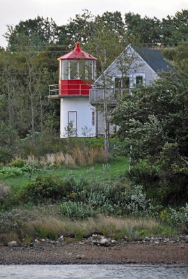
St. Paul Island South Point light, lighthouse in Nova Scotia, Canada
Locatie: Victoria County
Gemaakt van: steel
GPS-coördinaten: 46.90011,-60.46308
Laatste update: 4 maart 2025 om 11:00
Cape Breton Highlands National Park
25.3 km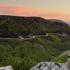
Skyline Trail
36.4 km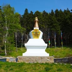
Gampo Abbey
28.3 km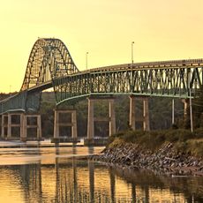
Seal Island Bridge
74.2 km
Gaelic College
77.2 km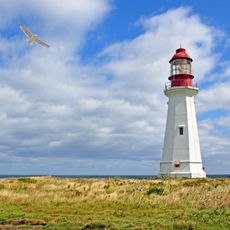
Low Point Lighthouse
75.1 km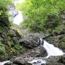
Uisage Ban Falls Provincial Park
81.3 km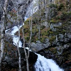
Uisage Ban Falls
80.5 km
Marconi National Historic Site of Canada
86 km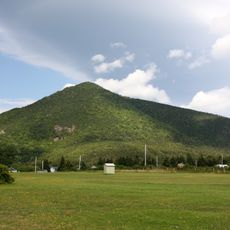
Wilkie Sugar Loaf
6.2 km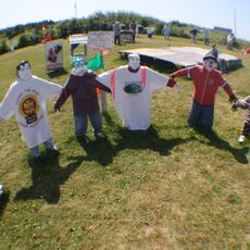
Joe's Scarecrow Village
64.8 km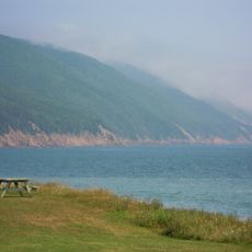
Cabots Landing Provincial Park
4.9 km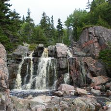
Still Brook Waterfall
16.9 km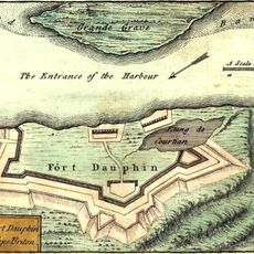
Fort Dauphin
68.3 km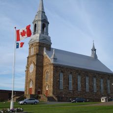
Paroisse Saint-Pierre de Chéticamp
52.1 km
Montagne Noire
47.2 km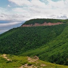
Cape Smokey Provincial Park
34.7 km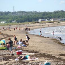
Dominion Beach Provincial Park
82.3 km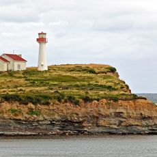
Point Aconi lighthouse
64.1 km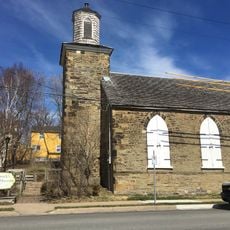
St Patrick's Church Museum
86.7 km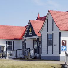
Les Trois Pignons
50 km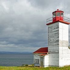
Black Rock Point light
66.4 km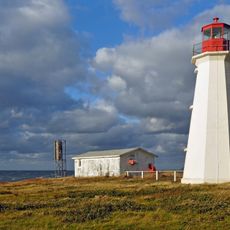
Enragée Point lighthouse
51.2 km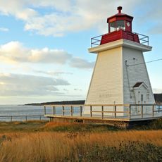
Neil's Harbour lighthouse
15.1 km
Jost House
86.6 km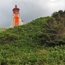
Margaree Harbour Front Range Lighthouse
71.3 km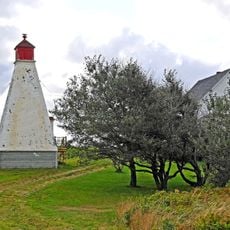
Margaree Harbour Rear Range Lighthouse
71.4 km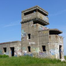
Chapel Point Battery
75.5 kmBeoordelingen
Heeft u deze plek bezocht? Tik op de sterren om een beoordeling te geven en uw ervaring of foto's te delen met de community! Probeer het nu! U kunt het op elk moment annuleren.
Ontdek verborgen schatten op elk avontuur!
Van karakteristieke kleine cafeetjes tot geheime uitzichtpunten – ontvlucht de drukte en vind plekken die echt bij jou passen. Onze app maakt het makkelijk: spraakzoekopdrachten, slimme filters, geoptimaliseerde routes en authentieke tips van reizigers wereldwijd. Download nu en beleef het avontuur op je smartphone!

Een nieuwe benadering van toeristische ontdekking❞
— Le Figaro
Alle plekken die de moeite waard zijn om te ontdekken❞
— France Info
Een uitstapje op maat in slechts een paar klikken❞
— 20 Minutes