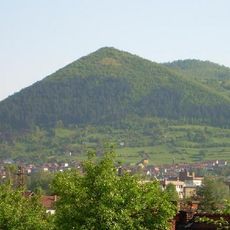
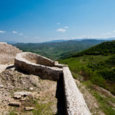
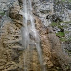
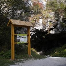
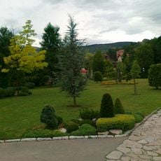
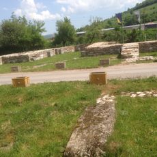
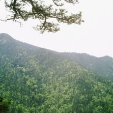
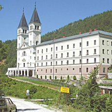
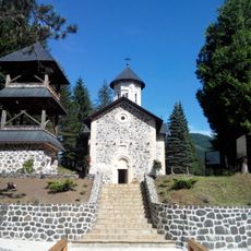
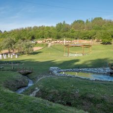
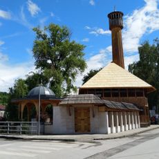
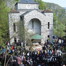
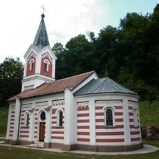
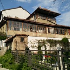
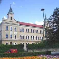
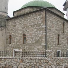
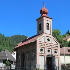
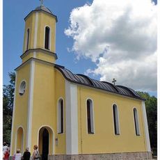
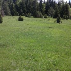
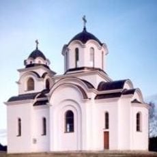
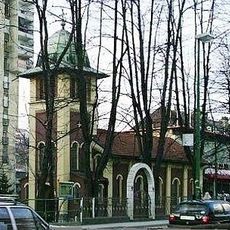
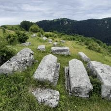
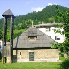
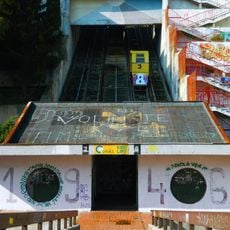
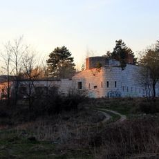
Vareš Municipality, municipality of Bosnia and Herzegovina
Locatie: Federation of Bosnia and Herzegovina
Ontstaan: 1991
Hoofdstad: Vareš
GPS-coördinaten: 44.13944,18.34583
Laatste update: 5 maart 2025 om 02:57
Visočica
22.6 km
Old town of Visoki
22.7 km
Skakavac Waterfall
22.8 km
Bijambare
15.1 km
Pionirska dolina
29.6 km
Mile
20.2 km
Šerefudin's White Mosque
21.7 km
Hum Tower
29.9 km
Konjuh
24.1 km
Franciscan friary and church of St John the Baptist, Kraljeva Sutjeska
11.6 km
Vozuća Monastery
23.2 km
Park Ravne 2
22 km
Tabhanska mosque
21.5 km
Église Notre-Dame d'Olovo
18.3 km
Church of the Translation of the Relics of Metropolitan Nikolaj
28.2 km
Višnjik 16 traditional house
31 km
Franciscan monastery in Visoko
21.4 km
Mosquée de Hadži Bali-bey
29.3 km
Church of the Intercession in Vareš
2.9 km
Црква Светог великомученика Георгија у Стогу
30.4 km
Kirche Hl. Großmärtyrer Prokopios (Breza)
14.9 km
Čemerska Planina
12.2 km
Црква Светог Пантелејмона на Вучијој Луци
28.2 km
Kirche Hl. Apostel Peter und Paul (Kakanj)
18.3 km
Donji Močioci necropolis
25.1 km
Vieille église Saint-Michel de Vareš
2.9 km
Ciglane Funicular
31 km
Barice Kula
29.5 kmHeeft u deze plek bezocht? Tik op de sterren om een beoordeling te geven en uw ervaring of foto's te delen met de community! Probeer het nu! U kunt het op elk moment annuleren.
Ontdek verborgen schatten op elk avontuur!
Van karakteristieke kleine cafeetjes tot geheime uitzichtpunten – ontvlucht de drukte en vind plekken die echt bij jou passen. Onze app maakt het makkelijk: spraakzoekopdrachten, slimme filters, geoptimaliseerde routes en authentieke tips van reizigers wereldwijd. Download nu en beleef het avontuur op je smartphone!
Een nieuwe benadering van toeristische ontdekking❞
— Le Figaro
Alle plekken die de moeite waard zijn om te ontdekken❞
— France Info
Een uitstapje op maat in slechts een paar klikken❞
— 20 Minutes