
Sulphur Passage Provincial Park, provincial park on Vancouver Island in British Columbia, Canada
Locatie: Alberni-Clayoquot Regional District
GPS-coördinaten: 49.41670,-126.18300
Laatste update: 29 juli 2025 om 22:20
Pacific Rim National Park Reserve
61.1 km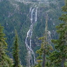
Della Falls
47.2 km
Golden Hinde
41.7 km
Strathcona Provincial Park
61.7 km
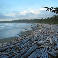
Long Beach
52.8 km
Comox Glacier
61.8 km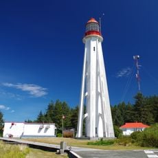
Estevan Point lighthouse
26.4 km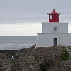
Amphitrite Point Lighthouse
72.3 km
Sproat Lake Provincial Park
92.1 km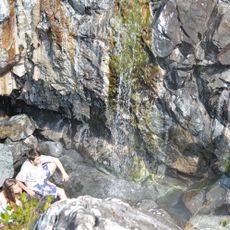
Ramsay Hot Springs
9.6 km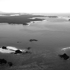
Vargas Island Provincial Park
28.7 km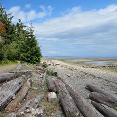
Miracle Beach Provincial Park
91.8 km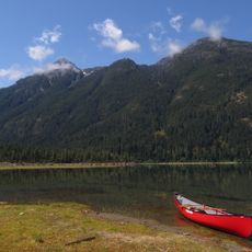
Strathcona-Westmin Provincial Park
48.4 km
Ucluelet Aquarium
70.2 km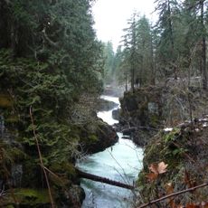
Stamp River Provincial Park
91.6 km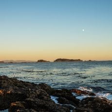
Clayoquot Plateau Provincial Park
58.6 km
Elk Falls Suspension Bridge
92.8 km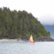
Gibson Marine Provincial Park
18.7 km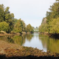
Courtenay River
91.3 km
Woss Lake Provincial Park
82.5 km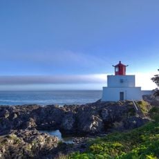
Wild Pacific Trail - Lighthouse Loop
72.2 km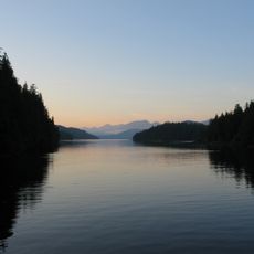
Flores Island Marine Provincial Park
14.4 km
Bligh Island Marine Provincial Park
35.4 km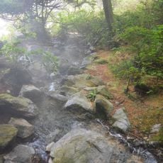
Maquinna Marine Provincial Park
11.7 km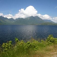
Kennedy Lake Provincial Park
59 km
Muchalat Inlet
26.2 km
Nine Peaks
45.9 km
Zeballos Peak
86.6 kmBeoordelingen
Heeft u deze plek bezocht? Tik op de sterren om een beoordeling te geven en uw ervaring of foto's te delen met de community! Probeer het nu! U kunt het op elk moment annuleren.
Ontdek verborgen schatten op elk avontuur!
Van karakteristieke kleine cafeetjes tot geheime uitzichtpunten – ontvlucht de drukte en vind plekken die echt bij jou passen. Onze app maakt het makkelijk: spraakzoekopdrachten, slimme filters, geoptimaliseerde routes en authentieke tips van reizigers wereldwijd. Download nu en beleef het avontuur op je smartphone!

Een nieuwe benadering van toeristische ontdekking❞
— Le Figaro
Alle plekken die de moeite waard zijn om te ontdekken❞
— France Info
Een uitstapje op maat in slechts een paar klikken❞
— 20 Minutes