
Washougal Oaks Natural Resource Conservation Area
Washougal Oaks Natural Resource Conservation Area, natural area in Clark County, Washington state, United States of America
Locatie: Washington
Locatie: Clark County
Hoogte boven de zeespiegel: 159 m
Exploitant: Washington State Department of Natural Resources
Grenst aan: Washougal Oaks Natural Area Preserve
Website: https://dnr.wa.gov/washougal-oaks-natural-area
GPS-coördinaten: 45.57220,-122.26780
Laatste update: 14 maart 2025 om 23:17
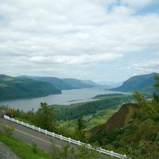
Historic Columbia River Highway
9.3 km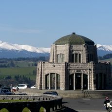
Vista House
4 km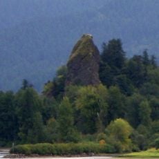
Rooster Rock State Park
3.9 km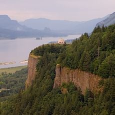
Crown Point
4.1 km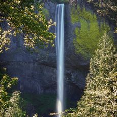
Latourell Falls
5.5 km
Oxbow Regional Park
8.7 km
Bridal Veil Falls
7.1 km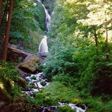
Wahkeena Falls
10.9 km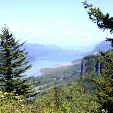
Chanticleer Point
3.8 km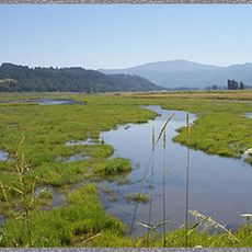
Steigerwald Lake National Wildlife Refuge
2.9 km
View Point Inn
4.6 km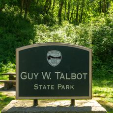
Guy W. Talbot State Park
5.3 km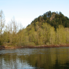
Lewis and Clark State Recreation Site
9.2 km
Dabney State Recreation Area
9 km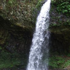
George W. Joseph State Natural Area
5.9 km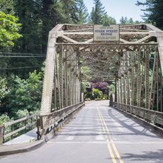
Stark Street Bridge
9.6 km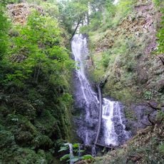
Coopey Falls
8 km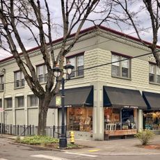
Farrell Building
10.8 km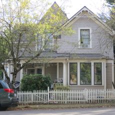
John Roffler House
10.8 km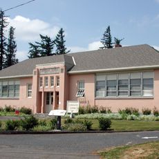
Springdale School
7.6 km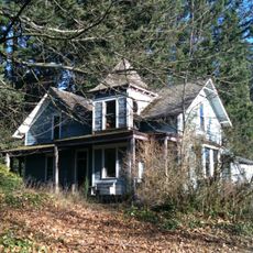
Andreas Graf House
8.3 km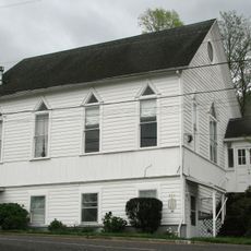
Troutdale Methodist Episcopal Church
10.1 km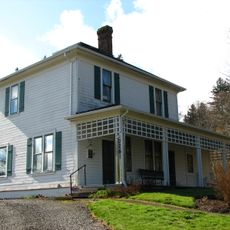
Fred Harlow House
9.7 km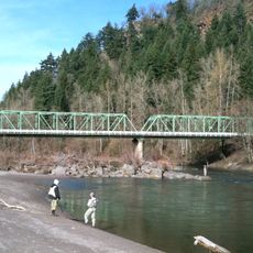
Troutdale Sandy River Bridge
9.3 km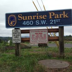
Sunrise Park
11 km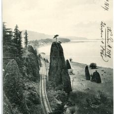
Pillars of Hercules
6.5 km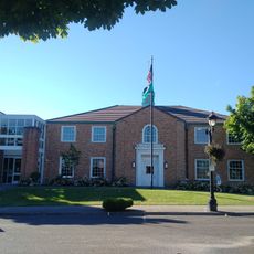
Camas Public Library
10.6 km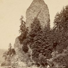
Rooster Rock
3.4 kmBeoordelingen
Heeft u deze plek bezocht? Tik op de sterren om een beoordeling te geven en uw ervaring of foto's te delen met de community! Probeer het nu! U kunt het op elk moment annuleren.
Ontdek verborgen schatten op elk avontuur!
Van karakteristieke kleine cafeetjes tot geheime uitzichtpunten – ontvlucht de drukte en vind plekken die echt bij jou passen. Onze app maakt het makkelijk: spraakzoekopdrachten, slimme filters, geoptimaliseerde routes en authentieke tips van reizigers wereldwijd. Download nu en beleef het avontuur op je smartphone!

Een nieuwe benadering van toeristische ontdekking❞
— Le Figaro
Alle plekken die de moeite waard zijn om te ontdekken❞
— France Info
Een uitstapje op maat in slechts een paar klikken❞
— 20 Minutes