
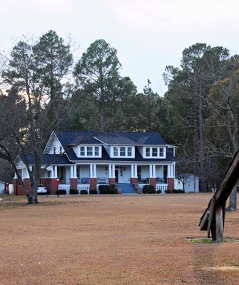
John Hayes Farmstead
John Hayes Farmstead, Latta, South Carolina, listed on the NRHP in Dillon County
Locatie: Dillon County
GPS-coördinaten: 34.33720,-79.52470
Laatste update: 23 september 2025 om 15:48
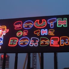
South of the Border
26.6 km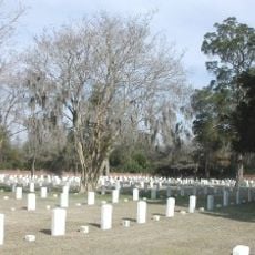
Florence National Cemetery
27.1 km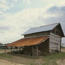
Smith Tobacco Barn
25 km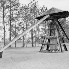
Cotton Press
98 m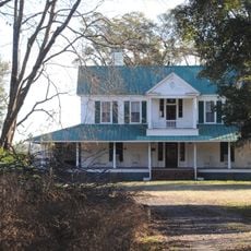
Roseville Plantation
17.6 km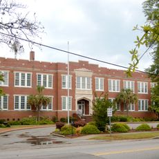
Marion High School
20.4 km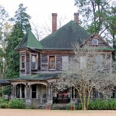
Clio Historic District
27 km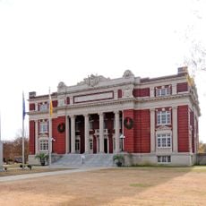
Dillon County Courthouse
16.4 km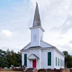
St. Paul's Methodist Church
19.2 km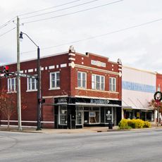
Dillon Downtown Historic District
8.5 km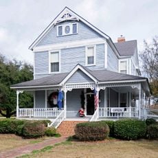
James W. Dillon House
16.5 km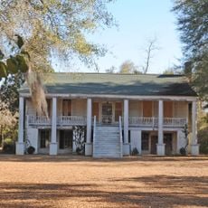
Red Doe
21.3 km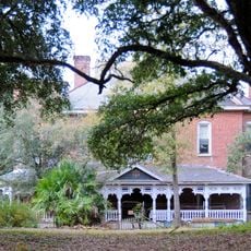
Hamer Hall
24.6 km
Latta Historic District No. 1
8.3 km
James W. Hamer House
18 km
Claussen House
24.6 km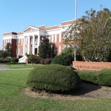
Poynor School
27.3 km
Hopewell Presbyterian Church and Hopewell Cemetery
25 km
McMillan House
8.2 km
McLaurin House
27.4 km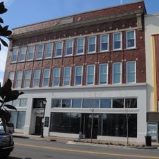
Florence Downtown Historic District
27.1 km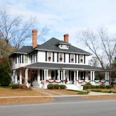
Latta Historic District No. 2
8.7 km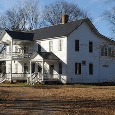
Blooming Grove
19 km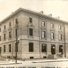
U. S. Post Office
27.3 km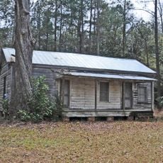
Gregg-Wallace Farm Tenant House
19.1 km
Selkirk Farm
14.7 km
Florence County Museum
27.2 km
Marion Historic District
21.2 kmBeoordelingen
Heeft u deze plek bezocht? Tik op de sterren om een beoordeling te geven en uw ervaring of foto's te delen met de community! Probeer het nu! U kunt het op elk moment annuleren.
Ontdek verborgen schatten op elk avontuur!
Van karakteristieke kleine cafeetjes tot geheime uitzichtpunten – ontvlucht de drukte en vind plekken die echt bij jou passen. Onze app maakt het makkelijk: spraakzoekopdrachten, slimme filters, geoptimaliseerde routes en authentieke tips van reizigers wereldwijd. Download nu en beleef het avontuur op je smartphone!

Een nieuwe benadering van toeristische ontdekking❞
— Le Figaro
Alle plekken die de moeite waard zijn om te ontdekken❞
— France Info
Een uitstapje op maat in slechts een paar klikken❞
— 20 Minutes