
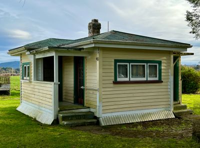
Kotuku Model Bungalow
Kotuku Model Bungalow, historic building in New Zealand
Locatie: Grey District
Ontstaan: 1938
Onderdeel van: Jack's Mill School Historic Area
Adres: 1271 Blair Road and Kotuku-Bell Hill Road, Kotuku
GPS-coördinaten: -42.54623,171.47040
Laatste update: 5 maart 2025 om 18:25
Brunner Mine
17.4 km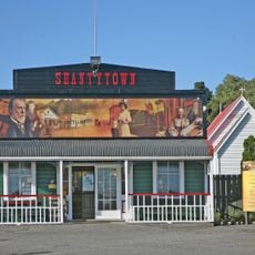
Shantytown
23.7 km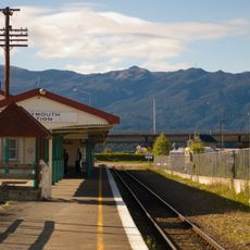
Greymouth Railway Station
23.7 km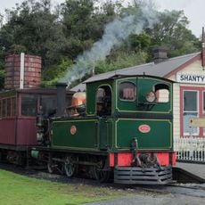
West Coast Historical and Mechanical Society
23.7 km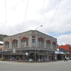
Hannah's Buildings
23.9 km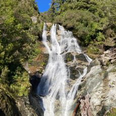
Carew Falls
12.4 km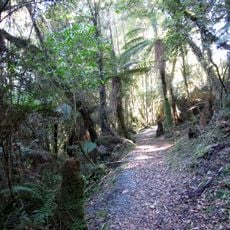
Velenski Walk
3 km
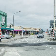
Greymouth CBD Historic Area
23.8 km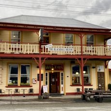
Formerly The Blackball Hilton
20.8 km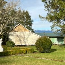
Jack's Mill School Historic Area
15 m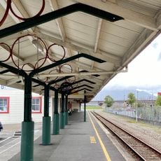
Greymouth Railway Station Historic Area
23.7 km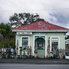
Ahaura Post Office
22.6 km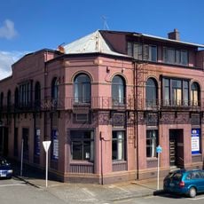
Royal Hotel
23.7 km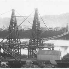
Taylorville bridge
17.3 km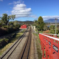
Moana Railway Station Historic Area
3.5 km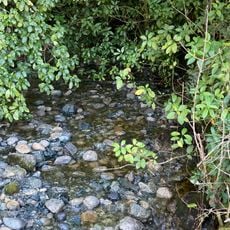
Petrel Creek
12.1 km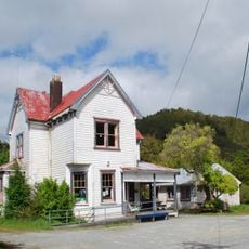
Blackball Community Centre
21.1 km
Brunner Mines Historic Area
17.5 km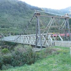
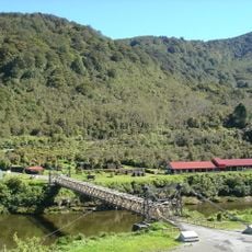
Suspension Bridge
17.4 km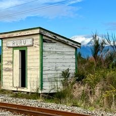
Ruru shelter shed
4.4 km
Rakaitane Walk
2.8 km
Government Building
23.7 km
Mount Te Kinga Scenic Reserve
13.5 km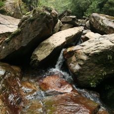
Seven Mile Creek / Waimatuku
22.9 km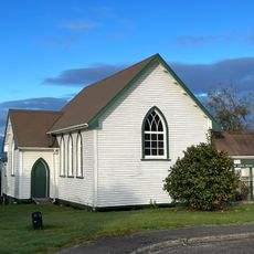
St John's Church
3.3 km
Ruru Drying Kiln
4.4 km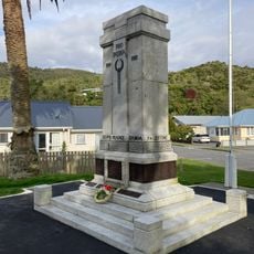
Greymouth Cenotaph
23.8 kmHeeft u deze plek bezocht? Tik op de sterren om een beoordeling te geven en uw ervaring of foto's te delen met de community! Probeer het nu! U kunt het op elk moment annuleren.
Ontdek verborgen schatten op elk avontuur!
Van karakteristieke kleine cafeetjes tot geheime uitzichtpunten – ontvlucht de drukte en vind plekken die echt bij jou passen. Onze app maakt het makkelijk: spraakzoekopdrachten, slimme filters, geoptimaliseerde routes en authentieke tips van reizigers wereldwijd. Download nu en beleef het avontuur op je smartphone!

Een nieuwe benadering van toeristische ontdekking❞
— Le Figaro
Alle plekken die de moeite waard zijn om te ontdekken❞
— France Info
Een uitstapje op maat in slechts een paar klikken❞
— 20 Minutes