Flinders Council, local government area in Tasmania, Australia
AroundUs brengt duizenden geselecteerde plaatsen, lokale tips en verborgen pareltjes samen, dagelijks verrijkt door meer dan 60,000 bijdragers wereldwijd. Ontdek alle plaatsen in de buurt (Flinders Council).
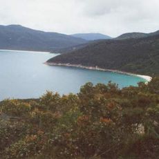
Wilsons Promontory National Park
218.8 km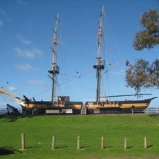
Amity
21.9 km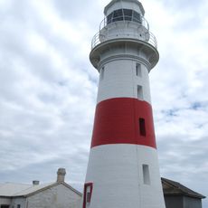
Low Head Lighthouse
141.3 km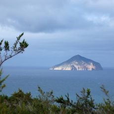
Rodondo Island
202.9 km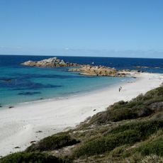
Mount William National Park
72.8 km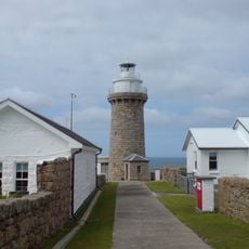
Wilsons Promontory Lighthouse
207.9 km
Nationaal park Kent Group
130 km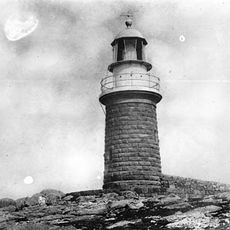
Cliffy Island Lighthouse
205.8 km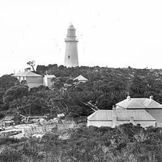
Deal Island Lighthouse
125.6 km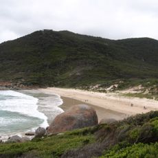
Squeaky Beach
223.4 km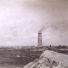
Goose Island lighthouse
36.8 km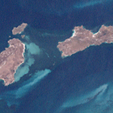
Anderson Islands
12.9 km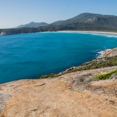
Norman Beach
222.5 km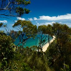
Five Mile Beach
220.8 km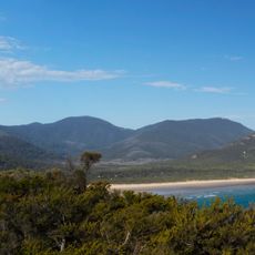
Mount Latrobe
220.8 km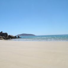
Darby Beach
230.1 km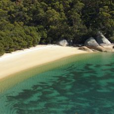
Refuge Cove
212.2 km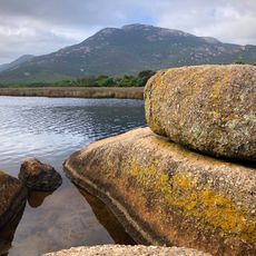
Mount Oberon
219.7 km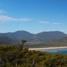
Mount Norgate
216.1 km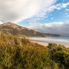
Little Oberon
220.4 km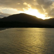
Sealers Cove
215.2 km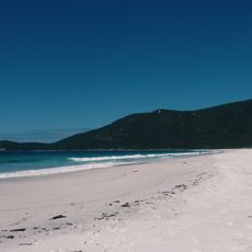
Beach, Little Waterloo Bay
212.3 km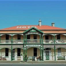
Imperial Hotel Branxholm
95.4 km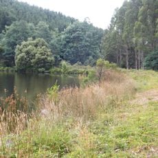
Dam Warrentinna
88.6 km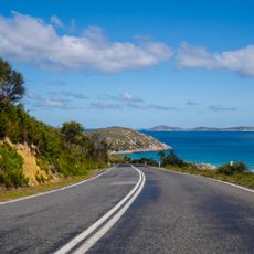
Wilsons Promontory National Park, Wilsons Promontory, Australia
228.4 km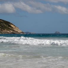
Picnic Bay - Wilsons Promontory
224.9 km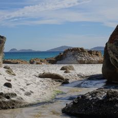
Whisky Bay -Norman Island
225.4 km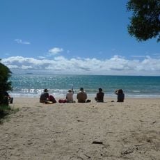
Beach, Sailers Cove
216.3 kmOntdek verborgen schatten op elk avontuur!
Van karakteristieke kleine cafeetjes tot geheime uitzichtpunten – ontvlucht de drukte en vind plekken die echt bij jou passen. Onze app maakt het makkelijk: spraakzoekopdrachten, slimme filters, geoptimaliseerde routes en authentieke tips van reizigers wereldwijd. Download nu en beleef het avontuur op je smartphone!

Een nieuwe benadering van toeristische ontdekking❞
— Le Figaro
Alle plekken die de moeite waard zijn om te ontdekken❞
— France Info
Een uitstapje op maat in slechts een paar klikken❞
— 20 Minutes