
Vitorino, gemeente in Paraná (staat)
Locatie: Paraná
Hoogte boven de zeespiegel: 760 m
Grenst aan: Bom Sucesso do Sul, Jupiá, Mariópolis, Pato Branco, Renascença, São Lourenço do Oeste
GPS-coördinaten: -26.27694,-52.78389
Laatste update: 4 maart 2025 om 08:34

Nationaal park Iguazú
159.4 km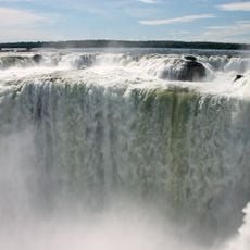
Nationaal park Iguaçu
177.8 km
Salto Yucumã
146 km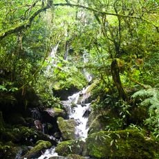
Reserva de la biosfera Yabotí
139.8 km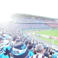
Estádio Olímpico Colosso da Lagoa
161.4 km
Estádio Olímpico Regional Arnaldo Busatto
161.9 km
Reserva natural estricta San Antonio
104.8 km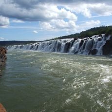
Turvo State Park
151.2 km
Metropolitan Cathedral of Our Lady of Apparition, Cascavel
161.8 km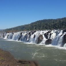
Parque provincial Moconá
146 km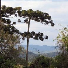
Araucárias National Park
97.8 km
Parque Provincial de la Araucaria
136.9 km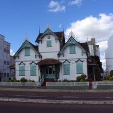
Castelinho
159.4 km
Sierra de la Victoria
119.1 km
Parque provincial Cruce Caballero
119.9 km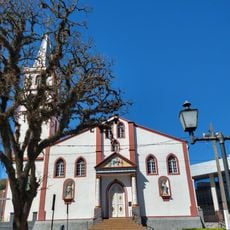
Our Lady of Bethlehem Cathedral, Guarapuava
164.7 km
Provincial Route 17
142.8 km
Geoparque Horacio Foerster
121.1 km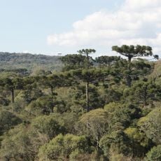
Mata Preta Ecological Station
62.6 km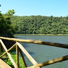
Fritz Plaumann State Park
131 km
Museu Municipal Visconde de Guarapuava
164.7 km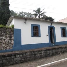
Casa do Visconde de Guarapuava
164.7 km
Salto do Yucumã
147 km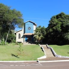
Igreja Nossa Senhora de Fátima
160.1 km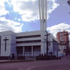
Cathedral of Erechim
159.3 km
Nationaal park Iguazú
165.8 km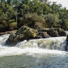
Salto Paraíso
163.9 km
Casa da Cultura Rogério Sganzerla
161.5 kmHeeft u deze plek bezocht? Tik op de sterren om een beoordeling te geven en uw ervaring of foto's te delen met de community! Probeer het nu! U kunt het op elk moment annuleren.
Ontdek verborgen schatten op elk avontuur!
Van karakteristieke kleine cafeetjes tot geheime uitzichtpunten – ontvlucht de drukte en vind plekken die echt bij jou passen. Onze app maakt het makkelijk: spraakzoekopdrachten, slimme filters, geoptimaliseerde routes en authentieke tips van reizigers wereldwijd. Download nu en beleef het avontuur op je smartphone!

Een nieuwe benadering van toeristische ontdekking❞
— Le Figaro
Alle plekken die de moeite waard zijn om te ontdekken❞
— France Info
Een uitstapje op maat in slechts een paar klikken❞
— 20 Minutes