
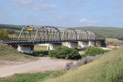
State Highway 3 Bridge at the Nueces River
State Highway 3 Bridge at the Nueces River, structure in Uvalde (vicinity), Uvalde County, Texas
Locatie: Uvalde County
Ontstaan: 1932
Architecten: Petroleum Iron Works, Missouri Valley Bridge & Iron Co.
Adres: US 90, 13 mi. E of jct. with Kinney Cnty.
GPS-coördinaten: 29.20577,-99.90221
Laatste update: 23 september 2025 om 17:46
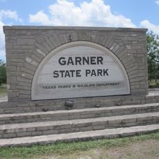
Garner State Park
44.9 km
Lost Maples State Natural Area
75 km
Medina Lake
99.8 km
Fort Clark
51.5 km
Sleeping Spring Draw
23.6 km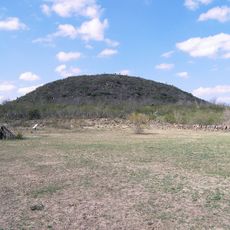
Fort Inge
13.6 km
Fort Duncan
81.3 km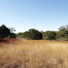
Hill Country State Natural Area
84.3 km
Eagle Pass Bridge I
81.4 km
John Nance Garner House
10.7 km
Camino Real International Bridge
81.9 km
Whitehead Memorial Museum
98 km
Grand Opera House
11.2 km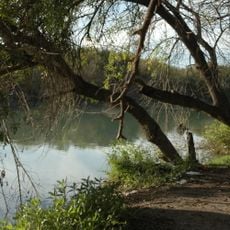
Rio San Rodrigo
78.5 km
Martyrs of Christ the King Cathedral, Piedras Negras
86.5 km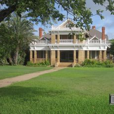
Asher and Mary Isabelle Richardson House
86.1 km
Edwards County Courthouse and Jail
94.9 km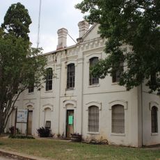
Old Frio County Jail
86.3 km
Uvalde Downtown Historic District
11.2 km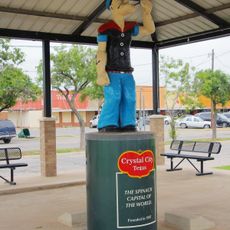
Popeye statue in Crystal City
58.9 km
St. Philip's Episcopal Church
11.1 km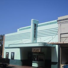
Raye Theater
75.5 km
Aztec Theatre
80.6 km
Pavilion
45.3 km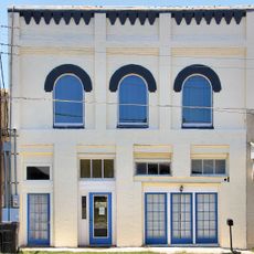
Devine Opera House
97.1 km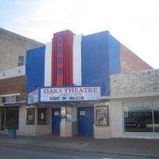
Oaks Theatre
86 km
D'Hanis Historic District
63.9 km
Nicolas Street School
10.6 kmBeoordelingen
Heeft u deze plek bezocht? Tik op de sterren om een beoordeling te geven en uw ervaring of foto's te delen met de community! Probeer het nu! U kunt het op elk moment annuleren.
Ontdek verborgen schatten op elk avontuur!
Van karakteristieke kleine cafeetjes tot geheime uitzichtpunten – ontvlucht de drukte en vind plekken die echt bij jou passen. Onze app maakt het makkelijk: spraakzoekopdrachten, slimme filters, geoptimaliseerde routes en authentieke tips van reizigers wereldwijd. Download nu en beleef het avontuur op je smartphone!

Een nieuwe benadering van toeristische ontdekking❞
— Le Figaro
Alle plekken die de moeite waard zijn om te ontdekken❞
— France Info
Een uitstapje op maat in slechts een paar klikken❞
— 20 Minutes