
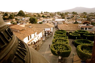
Churintzio, nederzetting in Mexico
Locatie: Michoacán
Hoofdstad: Churintzio
Hoogte boven de zeespiegel: 1.819 m
Website: http://churintzio.gob.mx
GPS-coördinaten: 20.12849,-102.08104
Laatste update: 15 april 2025 om 11:19
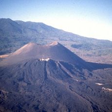
Paricutín
72.9 km
Cathedral of Our Lady of Guadalupe
26.4 km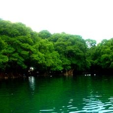
Lago de Camécuaro National Park
28.6 km
Tzintzuntzan
77.3 km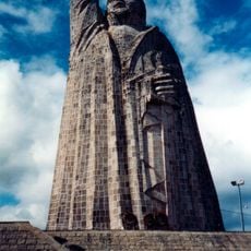
Monument to Morelos on Janitzio Island
76.3 km
El Opeño
32.1 km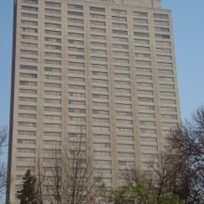
Presidente InterContinental Hotel
26.4 km
Michoacán-Guanajuato volcanic field
46.5 km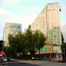
Edificio Reforma 222 Torre 1
26.4 km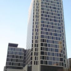
Torre MAPFRE
26.4 km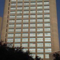
Hyatt Regency Mexico City
26.4 km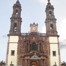
Immaculate Conception Cathedral, Zamora de Hidalgo
26.7 km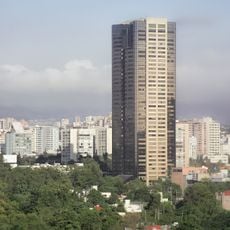
Torre Lomas
26.4 km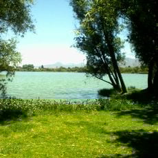
Zacapu Lagoon
45.7 km
Torre Mural
26.4 km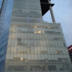
Reforma 115
26.4 km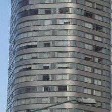
Panorama Santa Fe
26.4 km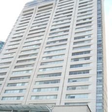
H2o Santa Fe building
26.4 km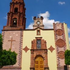
Church of la Purísima, Yurécuaro
31.8 km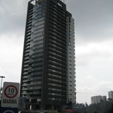
Edificio Punta Poniente
26.4 km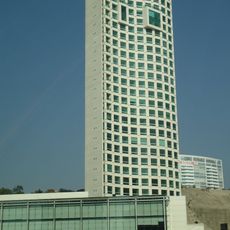
Paragon Santa Fe
26.4 km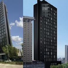
Edificio Reforma 90
26.4 km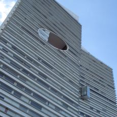
Punta del Parque Torres A y B
26.4 km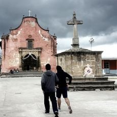
Santiago Apóstol Temple
52.9 km
Ex Convento de Santa Ana
76.7 km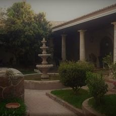
Casa del Diezmo
3 km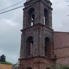
Parroquia de La Inmaculada Concepción
5 km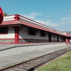
Estacion de tren, Museo de la Estación.
64.8 kmHeeft u deze plek bezocht? Tik op de sterren om een beoordeling te geven en uw ervaring of foto's te delen met de community! Probeer het nu! U kunt het op elk moment annuleren.
Ontdek verborgen schatten op elk avontuur!
Van karakteristieke kleine cafeetjes tot geheime uitzichtpunten – ontvlucht de drukte en vind plekken die echt bij jou passen. Onze app maakt het makkelijk: spraakzoekopdrachten, slimme filters, geoptimaliseerde routes en authentieke tips van reizigers wereldwijd. Download nu en beleef het avontuur op je smartphone!

Een nieuwe benadering van toeristische ontdekking❞
— Le Figaro
Alle plekken die de moeite waard zijn om te ontdekken❞
— France Info
Een uitstapje op maat in slechts een paar klikken❞
— 20 Minutes