Parroquia Zazárida, third-level administrative division in the Municipio Buchivacoa, Falcón State, Venezuela
Locatie: Municipio Buchivacoa
GPS-coördinaten: 11.18403,-70.43879
Laatste update: 2 maart 2025 om 23:33
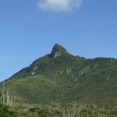
Cerro Santa Ana Natural Monument
88.7 km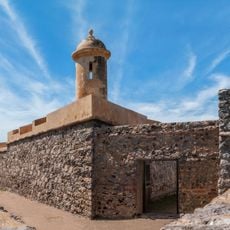
San Carlos de la Barra Fortress
129.6 km
Juan Crisóstomo Falcón National Park
81.9 km
Cerro Saroche National Park
55.5 km
Taima-Taima
106 km
Coro and its Port
85.9 km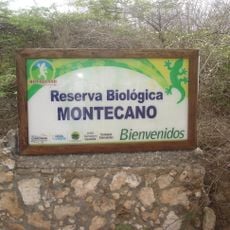
Montecano Biological Reservation
99 km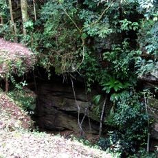
Haiton del Guarataro
81.9 km
Médanos de Zapara
125 km
Isla Los Pájaros
130.9 km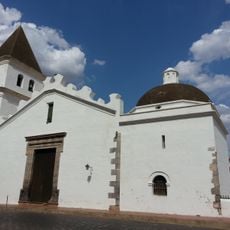
St. John the Baptist Cathedral
118.1 km
Basílica Menor Santuario Nacional de Nuestra Señora de Guadalupe del Carrizal
102.4 km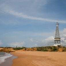
Punta Macolla Lighthouse
104.4 km
Parroquia San Luis
85 km
Filipinas
59.1 km
Parroquia Adícora
111.7 km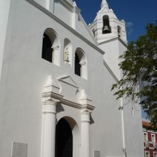
Basílica Catedral of St. Ann
86.7 km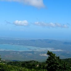
El Isiro reservoir
90.9 km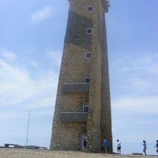
Cape San Román lighthouse
121.8 km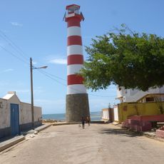
Adícora Lighthouse
109.4 km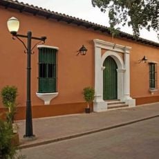
Coro Synagogue
86.9 km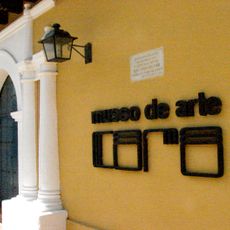
Museo de Arte de Coro
86.8 km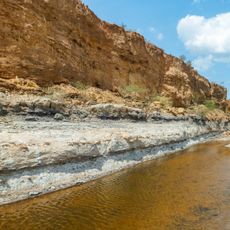
Urumaco-formatie
20.7 km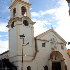
Cathedral of Our Lady of Coromoto
62.1 km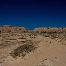
Castilletes Formation
129.2 km
Jewish cemetery of Coro
86.1 km
Saint Nicholas Church
86.8 km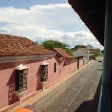
Coro e seu Porto
88.2 kmBeoordelingen
Heeft u deze plek bezocht? Tik op de sterren om een beoordeling te geven en uw ervaring of foto's te delen met de community! Probeer het nu! U kunt het op elk moment annuleren.
Ontdek verborgen schatten op elk avontuur!
Van karakteristieke kleine cafeetjes tot geheime uitzichtpunten – ontvlucht de drukte en vind plekken die echt bij jou passen. Onze app maakt het makkelijk: spraakzoekopdrachten, slimme filters, geoptimaliseerde routes en authentieke tips van reizigers wereldwijd. Download nu en beleef het avontuur op je smartphone!

Een nieuwe benadering van toeristische ontdekking❞
— Le Figaro
Alle plekken die de moeite waard zijn om te ontdekken❞
— France Info
Een uitstapje op maat in slechts een paar klikken❞
— 20 Minutes