
Trujillo, gemeente in Venezuela
Locatie: Trujillo
Hoofdstad: Trujillo
Hoogte boven de zeespiegel: 539 m
GPS-coördinaten: 9.36667,-70.43306
Laatste update: 16 maart 2025 om 00:36
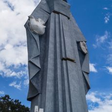
Monumento a la Virgen de la Paz
3.8 km
Sierra Nevada National Park
93.8 km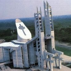
Basiliek van de Nationaal Heiligdom van Our Lady of Coromoto
88.2 km
Yacambú National Park
89.2 km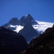
Pico Humboldt
110 km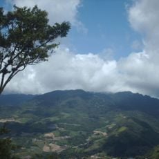
Volcán de Sanaré
102.7 km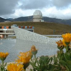
Llano del Hato Nationaal Astronomisch Observatorium
80.6 km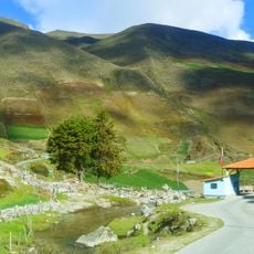
Sierra La Culata National Park
85.4 km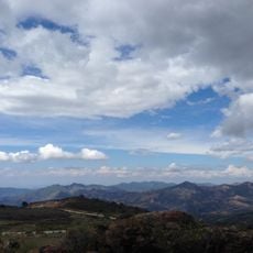
Dinira National Park
29.6 km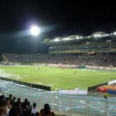
Estadio Agustín Tovar
86.3 km
Teta de Niquitao-Guirigay Natural Monument
28.4 km
Guaramacal National Park
31.8 km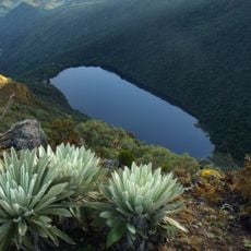
Laguna Negra
76.5 km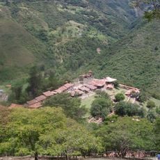
Los Aleros
101.6 km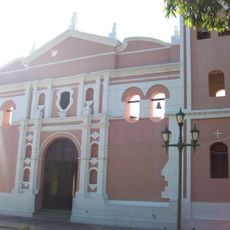
Cathedral of Our Lady of the Pillar
85.5 km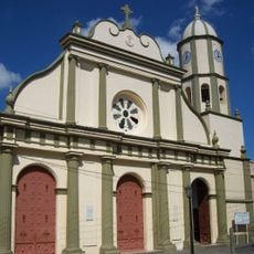
Kathedraal van Onze Lieve Vrouw van Coromoto
83.1 km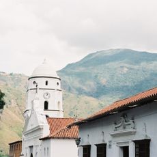
Cathedral of Our Lady of Peace, Trujillo
332 m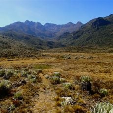
Pico Mucuñuque
79.2 km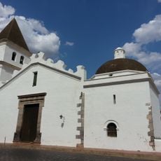
St. John the Baptist Cathedral
98.2 km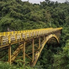
Viaducto Agrícola "Batalla de Niquitao"
30.1 km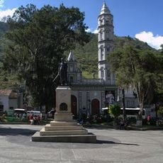
Basilica of St. Lucia, Timotes
54.4 km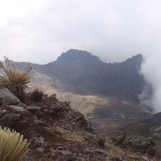
Alto de Timotes
71.3 km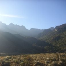
Pico Mifés
79.1 km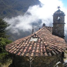
Capilla del Filo del Tisure
81.4 km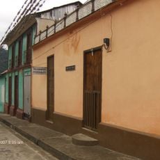
Monte Carmelo
46.3 km
El Guache National Park
98.4 km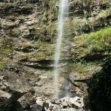
Chorro San Miguel
91 km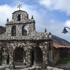
Capilla de Piedra de San Rafael de Mucuchies
81.9 kmHeeft u deze plek bezocht? Tik op de sterren om een beoordeling te geven en uw ervaring of foto's te delen met de community! Probeer het nu! U kunt het op elk moment annuleren.
Ontdek verborgen schatten op elk avontuur!
Van karakteristieke kleine cafeetjes tot geheime uitzichtpunten – ontvlucht de drukte en vind plekken die echt bij jou passen. Onze app maakt het makkelijk: spraakzoekopdrachten, slimme filters, geoptimaliseerde routes en authentieke tips van reizigers wereldwijd. Download nu en beleef het avontuur op je smartphone!

Een nieuwe benadering van toeristische ontdekking❞
— Le Figaro
Alle plekken die de moeite waard zijn om te ontdekken❞
— France Info
Een uitstapje op maat in slechts een paar klikken❞
— 20 Minutes