
Solano, gemeente in Colombia
Locatie: Caquetá Department
Ontstaan: 1936
Hoogte boven de zeespiegel: 203 m
Website: http://solano-caqueta.gov.co
GPS-coördinaten: 0.69833,-75.25389
Laatste update: 5 maart 2025 om 03:06
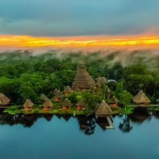
Nationaal park Yasuni
188.6 km
Serranía de la Macarena
238.1 km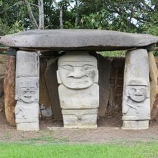
Archeologisch park San Agustín
174 km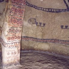
Tierradentro
227 km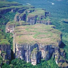
Chiribiquete National Park
272.5 km
Cuyabeno Wildlife Reserve
111.3 km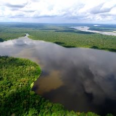
Limoncocha National Biological Reserve
193.4 km
Puracé National Natural Park
206.9 km
Cueva de los Guácharos
136.3 km
Lake Betania
222.1 km
The Hub on Causeway
502.1 km
Estadio Guillermo Plazas Alcid
249.1 km
Yaigojé-Apaporis National Park
544.5 km
Chiribiquete's rock shelters
286.1 km
Salto de Bordones
178.3 km
Cordillera de los Picachos National Natural Park
239.8 km
Tinigua National Natural Park
237.4 km
Güeppi
91.3 km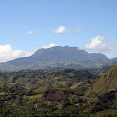
Doña Juana-Cascabel Volcanic Complex
193.8 km
Tiputini Biodiversity Station
179.1 km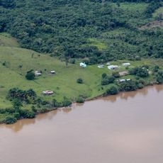
Güeppí Reserved Zone
136.6 km
Alto Fragua - Indi Wasi National Natural Park
124.4 km
La Venta
290.1 km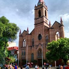
Immaculate Conception Cathedral, Neiva
248 km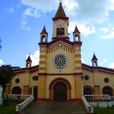
Our Lady of Lourdes Cathedral, Florencia
109.4 km
Salto de Mortiño
168.7 km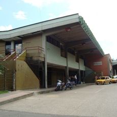
Terminal de Transportes de Florencia
110 km
Arènes de Santo Domingo
108.8 kmHeeft u deze plek bezocht? Tik op de sterren om een beoordeling te geven en uw ervaring of foto's te delen met de community! Probeer het nu! U kunt het op elk moment annuleren.
Ontdek verborgen schatten op elk avontuur!
Van karakteristieke kleine cafeetjes tot geheime uitzichtpunten – ontvlucht de drukte en vind plekken die echt bij jou passen. Onze app maakt het makkelijk: spraakzoekopdrachten, slimme filters, geoptimaliseerde routes en authentieke tips van reizigers wereldwijd. Download nu en beleef het avontuur op je smartphone!

Een nieuwe benadering van toeristische ontdekking❞
— Le Figaro
Alle plekken die de moeite waard zijn om te ontdekken❞
— France Info
Een uitstapje op maat in slechts een paar klikken❞
— 20 Minutes