
Finucane Island National Park, national park in Australia
Locatie: Carpentaria Shire
Exploitant: Queensland Department of Environment and Science
GPS-coördinaten: -17.63112,139.78119
Laatste update: 10 maart 2025 om 07:56
Boodjamulla (Lawn Hill) National Park
189.6 km
Riversleigh
197.9 km
Golden Gate Mining and Town Complex
262.9 km
Zoogdierfossielengebieden Riversleigh en Naracoorte
196.9 km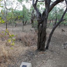
Burke and Wills Camp B/CXIX
114.2 km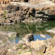
Leichhardt Falls
66.5 km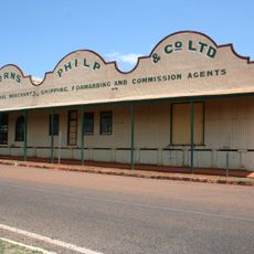
Burns Philp Building, Normanton
138 km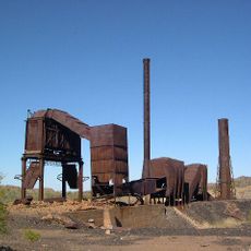
Mount Cuthbert Township and Smelter
262.5 km
Old Westmoreland Homestead
165.8 km
Croydon Police Station
268.6 km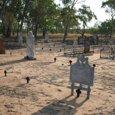
Croydon Cemetery, Queensland
269 km
Richmond Mine and Battery
277.8 km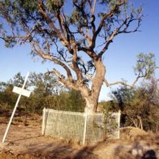
Landsborough Tree
25.9 km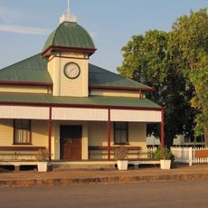
Croydon Shire Hall
268.5 km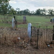
Normanton Cemetery
136.2 km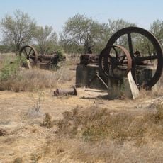
Boiling Down Works, Burketown
25.9 km
Bower Bird Battery
274.6 km
Normanton Gaol
137.8 km
Burketown Post Office
27.8 km
Content Mine
265.3 km
Croydon Court House
268.5 km
Chinese Temple and Settlement Site, Croydon
268.7 km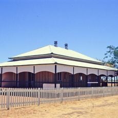
Croydon Hospital Ward
268.3 km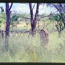
Tabletop Cemetery
272.1 km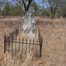
Old Croydon Cemetery
267.6 km
Homeward Bound Battery and Dam
270.1 km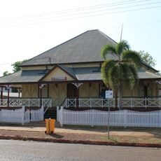
Westpac Bank Building, Normanton
137.7 km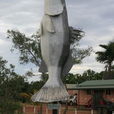
Big Barramundi
136.5 kmHeeft u deze plek bezocht? Tik op de sterren om een beoordeling te geven en uw ervaring of foto's te delen met de community! Probeer het nu! U kunt het op elk moment annuleren.
Ontdek verborgen schatten op elk avontuur!
Van karakteristieke kleine cafeetjes tot geheime uitzichtpunten – ontvlucht de drukte en vind plekken die echt bij jou passen. Onze app maakt het makkelijk: spraakzoekopdrachten, slimme filters, geoptimaliseerde routes en authentieke tips van reizigers wereldwijd. Download nu en beleef het avontuur op je smartphone!

Een nieuwe benadering van toeristische ontdekking❞
— Le Figaro
Alle plekken die de moeite waard zijn om te ontdekken❞
— France Info
Een uitstapje op maat in slechts een paar klikken❞
— 20 Minutes