
Middlehope, parish of Durham County, New South Wales, Australia
Locatie: Durham
Locatie: Dungog Shire
GPS-coördinaten: -32.66500,151.63444
Laatste update: 16 mei 2025 om 13:39
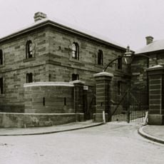
Maitland Gaol
9.8 km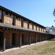
Tocal College
5.6 km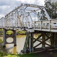
Morpeth Bridge
6.6 km
Rail Motor Society
7.2 km
Morpeth House and Closebourne House
7.2 km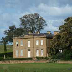
Aberglasslyn
9.1 km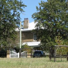
Dunmore House
4.1 km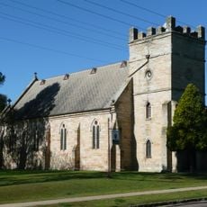
St James' Anglican Church, Morpeth
7 km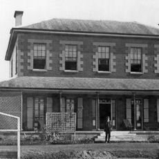
Tocal Homestead
6.2 km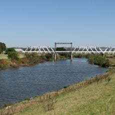
Dunmore Bridge
3.2 km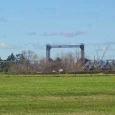
Hinton Bridge over Paterson River
5.6 km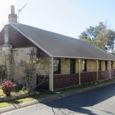
Caroline Chisholm Cottage
10.5 km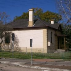
East Maitland Police Station
9.8 km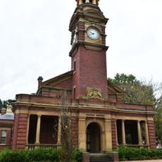
Maitland Court House
10.5 km
Englefield, East Maitland
10.3 km
Royal Oak Arms Hotel
7.5 km
East Maitland Post Office
10 km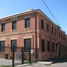
Presbyterian High School
10.5 km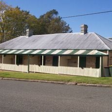
34-40 King Street, East Maitland
10.3 km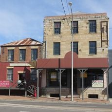
Smith's Flour Mill (former)
10.4 km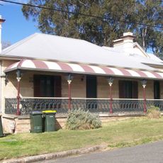
Goonoobah
10.3 km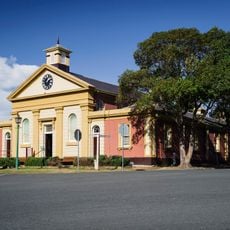
Morpeth Museum
6.7 km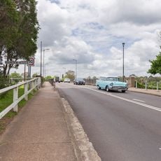
Belmore Bridge
10.4 km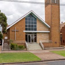
Wesley Uniting church, East Maitland
10.4 km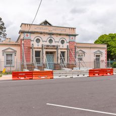
East Maitland Literary Institute
10.2 km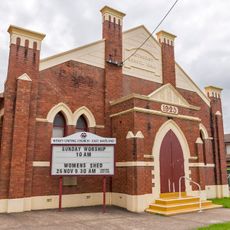
Methodist School Hall, East Maitland
10.4 km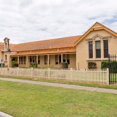
Maitland East Public School
10.4 km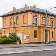
Bank of Australasia building
10.3 kmBeoordelingen
Heeft u deze plek bezocht? Tik op de sterren om een beoordeling te geven en uw ervaring of foto's te delen met de community! Probeer het nu! U kunt het op elk moment annuleren.
Ontdek verborgen schatten op elk avontuur!
Van karakteristieke kleine cafeetjes tot geheime uitzichtpunten – ontvlucht de drukte en vind plekken die echt bij jou passen. Onze app maakt het makkelijk: spraakzoekopdrachten, slimme filters, geoptimaliseerde routes en authentieke tips van reizigers wereldwijd. Download nu en beleef het avontuur op je smartphone!

Een nieuwe benadering van toeristische ontdekking❞
— Le Figaro
Alle plekken die de moeite waard zijn om te ontdekken❞
— France Info
Een uitstapje op maat in slechts een paar klikken❞
— 20 Minutes