
Berowra, parish of Cumberland County, New South Wales, Australia
Locatie: Cumberland
Locatie: Hornsby Shire
GPS-coördinaten: -33.56500,151.08444
Laatste update: 11 april 2025 om 09:43
Nationaal park Ku-ring-gai Chase
12.2 km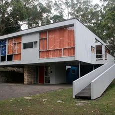
Rose Seidler House
17 km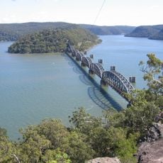
Hawkesbury River Railway Bridge
13.8 km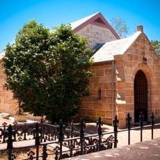
Ebenezer Church
18.2 km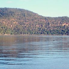
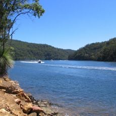
Brisbane Water National Park
18.1 km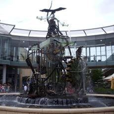
Hornsby Water Clock
15.5 km
Peats Ferry Bridge
11 km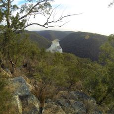
Berowra Valley National Park
8.4 km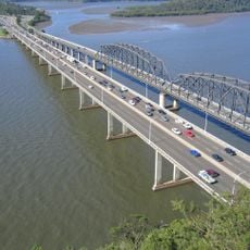
Brooklyn Bridge
11.1 km
Nationaal park Scheyville
18.1 km
Cattai National Park
14.6 km
Long Island
12.7 km
Mahratta, Wahroonga
18.3 km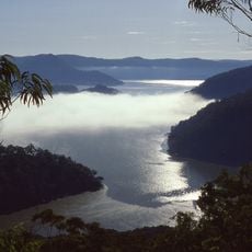
Marramarra National Park
8.3 km
Mount Wilga House
14.3 km
Evatt House
16.6 km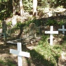
Old Man's Valley Cemetery
14.9 km
Tunks Creek bridge, Galston
11.3 km
Wahroonga Reservoir
17.4 km
Third Government Farm
18.3 km
The Briars, Wahroonga
17.2 km
Berith Park
17.5 km
Our Lady of the Rosary Cathedral, Waitara
16.6 km
Jack House, Wahroonga
16.2 km
Cattai Estate
17.2 km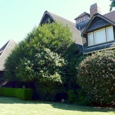
Highlands, Wahroonga
16.5 km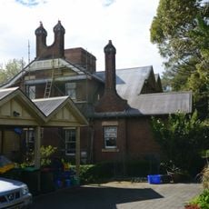
Gilligaloola
17.6 km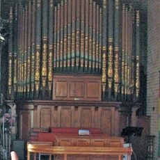
Galston Congregational Church Pipe Organ
9.9 kmBeoordelingen
Heeft u deze plek bezocht? Tik op de sterren om een beoordeling te geven en uw ervaring of foto's te delen met de community! Probeer het nu! U kunt het op elk moment annuleren.
Ontdek verborgen schatten op elk avontuur!
Van karakteristieke kleine cafeetjes tot geheime uitzichtpunten – ontvlucht de drukte en vind plekken die echt bij jou passen. Onze app maakt het makkelijk: spraakzoekopdrachten, slimme filters, geoptimaliseerde routes en authentieke tips van reizigers wereldwijd. Download nu en beleef het avontuur op je smartphone!

Een nieuwe benadering van toeristische ontdekking❞
— Le Figaro
Alle plekken die de moeite waard zijn om te ontdekken❞
— France Info
Een uitstapje op maat in slechts een paar klikken❞
— 20 Minutes