
Trentham Cliffs, locality in New South Wales, Australia
Locatie: Wentworth Shire Council
GPS-coördinaten: -34.21500,142.25111
Laatste update: 10 maart 2025 om 22:40
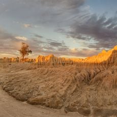
Nationaal park Mungo
87.7 km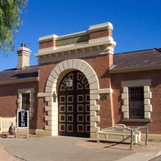
Wentworth Gaol
33.5 km
Willandra Lakes Region
89.2 km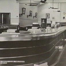
Longest bar in Australia
8.9 km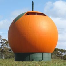
Big Orange
150.1 km
Murray-Sunset National Park
87.9 km
Wyperfeld National Park
159.3 km
Hattah - Kulkyne National Park
52.3 km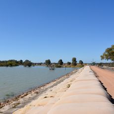
Lake Victoria
93.4 km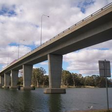
George Chaffey Bridge
8 km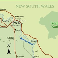
Nationaal park Mallee Cliffs
20 km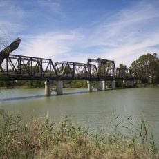
Abbotsford Bridge
26.7 km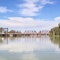
Paringa Bridge
135.9 km
Australian Inland Botanic Gardens
13.3 km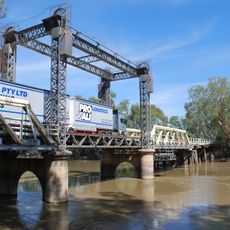
Tooleybuc Bridge
134.6 km
Calperum Station
161.6 km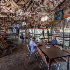
Woodsies Gem Shop
4.2 km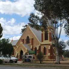
St John's Anglican Church, Wentworth
33 km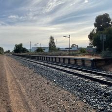
Irymple railway station
7.9 km
Balranald Discovery Centre
129.6 km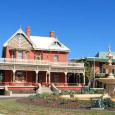
Mildura Arts Centre
9.5 km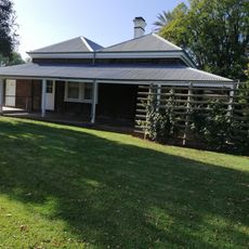
Olivewood-National Trust
139.6 km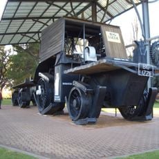
Big Lizzie
11.9 km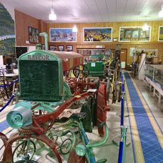
Wentworth Pioneer Museum
33.5 km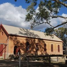
Psyche Bend Pumping Station
4.7 km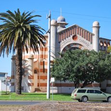
Methodist church
9 km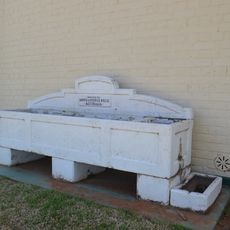
Horse trough
129.6 km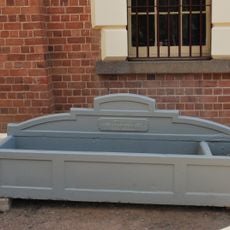
Horse trough
33.5 kmBeoordelingen
Heeft u deze plek bezocht? Tik op de sterren om een beoordeling te geven en uw ervaring of foto's te delen met de community! Probeer het nu! U kunt het op elk moment annuleren.
Ontdek verborgen schatten op elk avontuur!
Van karakteristieke kleine cafeetjes tot geheime uitzichtpunten – ontvlucht de drukte en vind plekken die echt bij jou passen. Onze app maakt het makkelijk: spraakzoekopdrachten, slimme filters, geoptimaliseerde routes en authentieke tips van reizigers wereldwijd. Download nu en beleef het avontuur op je smartphone!

Een nieuwe benadering van toeristische ontdekking❞
— Le Figaro
Alle plekken die de moeite waard zijn om te ontdekken❞
— France Info
Een uitstapje op maat in slechts een paar klikken❞
— 20 Minutes