
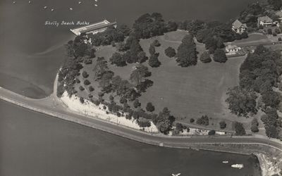
Te Routu o Ureia, wāhi tapu in Auckland, New Zealand
Locatie: Auckland Region
Adres: Erin Point, Auckland Harbour Bridge, Auckland
GPS-coördinaten: -36.83718,174.74013
Laatste update: 9 mei 2025 om 08:29
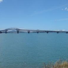
Auckland Harbour Bridge
1 km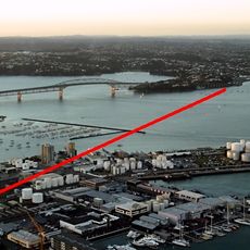
Second Harbour Crossing, Auckland
1.1 km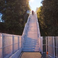
Jacobs Ladder Bridge
1.2 km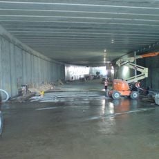
Victoria Park Tunnel
1.6 km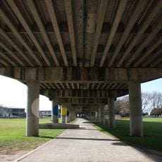
Victoria Park Viaduct
1.6 km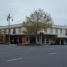
Gluepot Tavern
1.2 km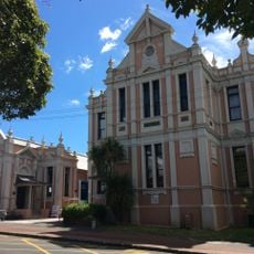
Leys Institute Library Ponsonby
1.1 km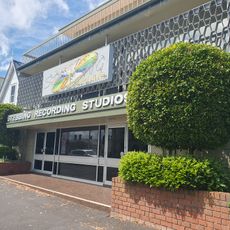
Stebbing Studios
890 m
Ponsonby Post Office
1.2 km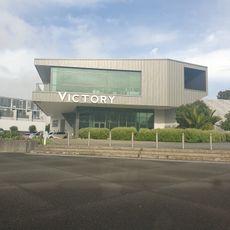
Victory Christian Church
1.4 km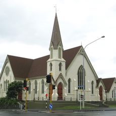
St Stephen's Church
924 m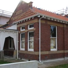
Campbell Free Kindergarten
1.7 km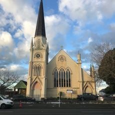
St John's Church
1.6 km
Bayfield School
1.5 km
Renall Street Historic Area
1.4 km
Westwater
844 m
Shangri La
842 m
Stichbury Terrace
843 m
Trentham
844 m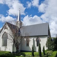
St Mary's Old Convent Chapel
1.2 km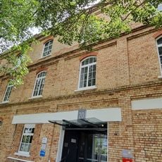
Auckland Gas Company Offices and Workshops
1.5 km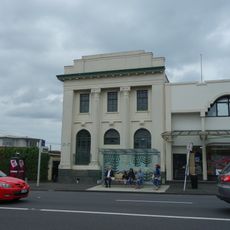
Auckland Savings Bank
1.1 km
Auckland Night Market
1.5 km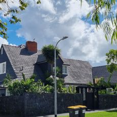
House
694 m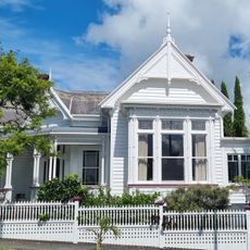
House
862 m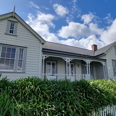
Bishop Pompallier's House
1.1 km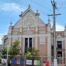
Leys Institute Gymnasium
1.1 km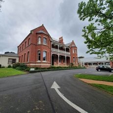
Pompallier Diocesan Centre
1.1 kmHeeft u deze plek bezocht? Tik op de sterren om een beoordeling te geven en uw ervaring of foto's te delen met de community! Probeer het nu! U kunt het op elk moment annuleren.
Ontdek verborgen schatten op elk avontuur!
Van karakteristieke kleine cafeetjes tot geheime uitzichtpunten – ontvlucht de drukte en vind plekken die echt bij jou passen. Onze app maakt het makkelijk: spraakzoekopdrachten, slimme filters, geoptimaliseerde routes en authentieke tips van reizigers wereldwijd. Download nu en beleef het avontuur op je smartphone!

Een nieuwe benadering van toeristische ontdekking❞
— Le Figaro
Alle plekken die de moeite waard zijn om te ontdekken❞
— France Info
Een uitstapje op maat in slechts een paar klikken❞
— 20 Minutes