
Former Presbyterian Manse, Kulturdenkmal in Australien
Locatie: City of Hobsons Bay
GPS-coördinaten: -37.85940,144.89600
Laatste update: 20 april 2025 om 23:13
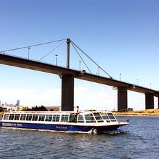
West Gate Bridge
3.3 km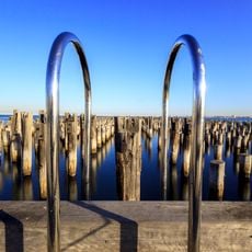
Princes Pier
3.2 km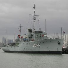
HMAS Castlemaine
865 m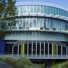
Scienceworks
3.1 km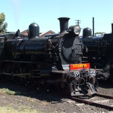
Newport Workshops
1.5 km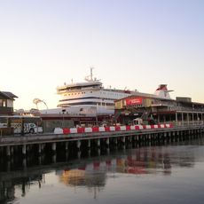
Station Pier
3.5 km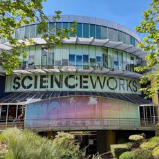
Scienceworks (Museums Victoria)
3.1 km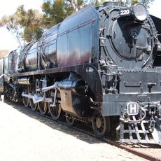
Newport Railway Museum
987 m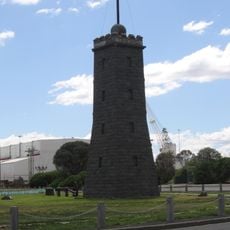
Williamstown Lighthouse
1.7 km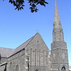
St Mary's Catholic Church, Williamstown
664 m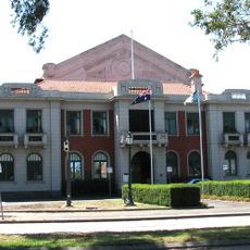
Williamstown Town Hall
122 m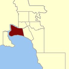
Electoral district of Sandridge
4.1 km
South Melbourne Beach
4.6 km
Altona Dog Beach
3.9 km
Williamstown Beach
1 km
Williamstown Cemetery
1.5 km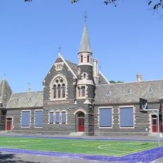
Williamstown Primary School
602 m
Sandridge Beach
2.9 km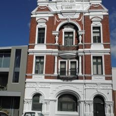
Royal Hotel, Williamstown
1.1 km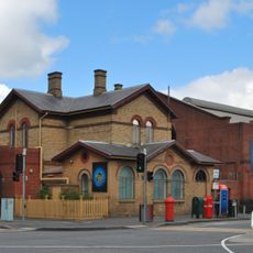
Naval Drill Hall and former Post Office
4.2 km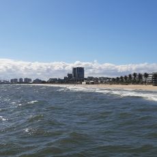
South Melbourne beach
4.7 km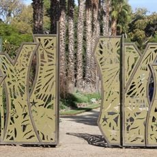
Williamstown Botanic Gardens
961 m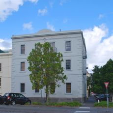
Former Swallow & Ariell Biscuit Factory
4.1 km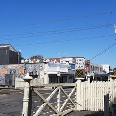
Interlocking Railway Crossing Gates
4.8 km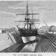
Alfred Graving Dock
1.5 km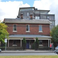
Port Melbourne Court House, Police Station and Lockup
4.4 km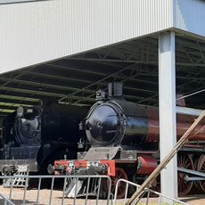
Heavy Harry Locomotive
971 m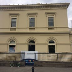
Williamstown Customs House
908 mBeoordelingen
Heeft u deze plek bezocht? Tik op de sterren om een beoordeling te geven en uw ervaring of foto's te delen met de community! Probeer het nu! U kunt het op elk moment annuleren.
Ontdek verborgen schatten op elk avontuur!
Van karakteristieke kleine cafeetjes tot geheime uitzichtpunten – ontvlucht de drukte en vind plekken die echt bij jou passen. Onze app maakt het makkelijk: spraakzoekopdrachten, slimme filters, geoptimaliseerde routes en authentieke tips van reizigers wereldwijd. Download nu en beleef het avontuur op je smartphone!

Een nieuwe benadering van toeristische ontdekking❞
— Le Figaro
Alle plekken die de moeite waard zijn om te ontdekken❞
— France Info
Een uitstapje op maat in slechts een paar klikken❞
— 20 Minutes