
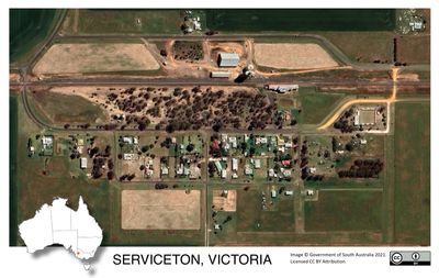
Serviceton, town in Victoria, Australia
Locatie: Shire of West Wimmera
GPS-coördinaten: -36.40223,141.02215
Laatste update: 4 april 2025 om 23:53
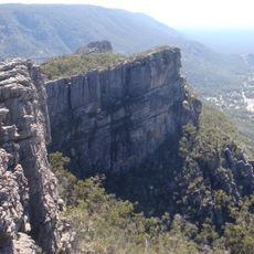
Nationaal park Grampians
152.1 km
Nationaal park Coorong
137.6 km
Coonawarra
100.2 km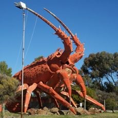
The Big Lobster
113.7 km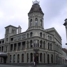
Grampians
158.3 km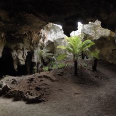
Nationaal park Naracoorte Caves
73.4 km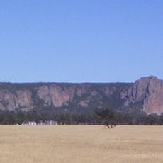
Mount Arapiles
82.5 km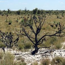
Little Desert National Park
42.6 km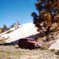
Wyperfeld National Park
113.8 km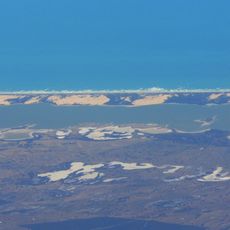
Younghusband Peninsula
143.9 km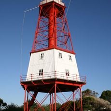
Cape Jaffa Lighthouse
115.6 km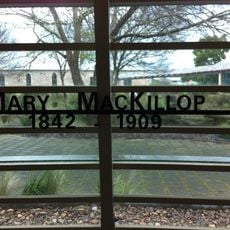
Mary MacKillop Interpretive Centre
110 km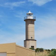
Cape Martin Lighthouse
150.7 km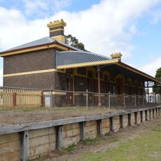
Casterton railway station
135.9 km
Penguin Island Lighthouse
151.4 km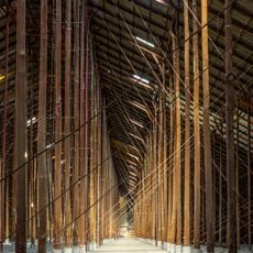
Murtoa Stick Shed
132.6 km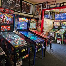
Australian Pinball Museum
58.4 km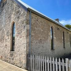
Mary MacKillop Penola Centre
110 km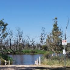
Horsham botanic gardens
110.4 km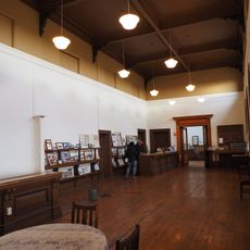
Serviceton Historical Station
4.3 km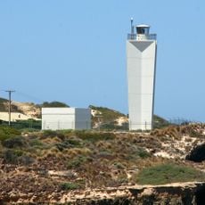
Robe Lighthouse
142 km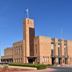
Warracknabeal Town Hall
124.3 km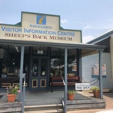
The Sheep's Back Museum
66.7 km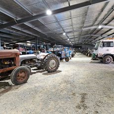
Woods' Farming and Heritage Museum
145.7 km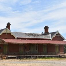
Rupanyup railway station
146.3 km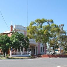
Soldiers and Citizens Memorial Hall and Municipal Chambers
91.3 km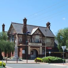
Warracknabeal Post Office
124.2 km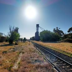
Kaniva railway station
19.9 kmHeeft u deze plek bezocht? Tik op de sterren om een beoordeling te geven en uw ervaring of foto's te delen met de community! Probeer het nu! U kunt het op elk moment annuleren.
Ontdek verborgen schatten op elk avontuur!
Van karakteristieke kleine cafeetjes tot geheime uitzichtpunten – ontvlucht de drukte en vind plekken die echt bij jou passen. Onze app maakt het makkelijk: spraakzoekopdrachten, slimme filters, geoptimaliseerde routes en authentieke tips van reizigers wereldwijd. Download nu en beleef het avontuur op je smartphone!

Een nieuwe benadering van toeristische ontdekking❞
— Le Figaro
Alle plekken die de moeite waard zijn om te ontdekken❞
— France Info
Een uitstapje op maat in slechts een paar klikken❞
— 20 Minutes