
Crafers, suburb of Adelaide, South Australia
Locatie: Adelaide Hills Council
GPS-coördinaten: -34.99334,138.71629
Laatste update: 29 april 2025 om 05:10
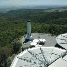
Mount Lofty
2.2 km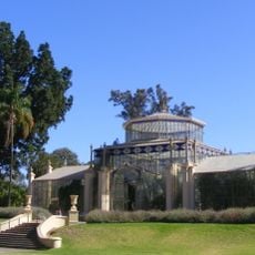
Adelaide Botanic Garden
12.7 km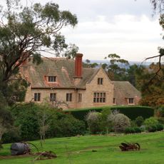
Carrick Hill
7.8 km
Belair National Park
5 km
State Herbarium of South Australia
12.6 km
Ayers House
12.6 km
National Wine Centre of Australia
12.4 km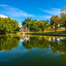
Rymill Park
12.1 km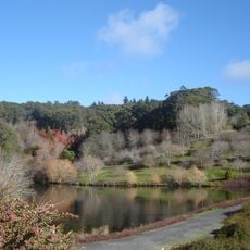
Mount Lofty Botanic Garden
524 m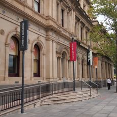
Torrens Building
12.8 km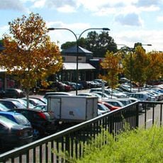
Burnside Village
8.9 km
Old Government House
6.4 km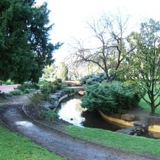
Veale Gardens
12.6 km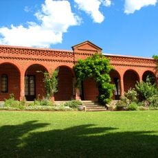
Beaumont House
7 km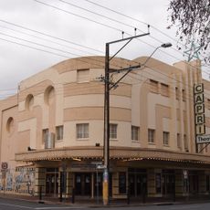
Capri Theatre
12.4 km
Contemporary Art Centre of South Australia
11.2 km
Warrawong Sanctuary
5.1 km
Cleland Wildlife Park
3.4 km
Norwood Town Hall
10.9 km
Wittunga Botanic Garden
10.3 km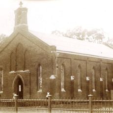
St John's Church, Adelaide
11.4 km
Benacre
7.9 km
Chambers Gully
5 km
Attunga
10.2 km
Santos Museum of Economic Botany
12.7 km
Mount Bonython
3 km
Brown Hill, Mitcham
7.3 km
Hindmarsh Square Congregational Church
12.6 kmBeoordelingen
Heeft u deze plek bezocht? Tik op de sterren om een beoordeling te geven en uw ervaring of foto's te delen met de community! Probeer het nu! U kunt het op elk moment annuleren.
Ontdek verborgen schatten op elk avontuur!
Van karakteristieke kleine cafeetjes tot geheime uitzichtpunten – ontvlucht de drukte en vind plekken die echt bij jou passen. Onze app maakt het makkelijk: spraakzoekopdrachten, slimme filters, geoptimaliseerde routes en authentieke tips van reizigers wereldwijd. Download nu en beleef het avontuur op je smartphone!

Een nieuwe benadering van toeristische ontdekking❞
— Le Figaro
Alle plekken die de moeite waard zijn om te ontdekken❞
— France Info
Een uitstapje op maat in slechts een paar klikken❞
— 20 Minutes