
Cape Borda, locality in South Australia
Locatie: Kangaroo Island Council
GPS-coördinaten: -35.75380,136.71145
Laatste update: 8 april 2025 om 06:41
Flinders Chase National Park
24.7 km
Dhilba Guuranda-Innes National Park
61 km
Lincoln National Park
127.9 km
Emu Bay Shale
73.8 km
Seal Bay Conservation Park
64.8 km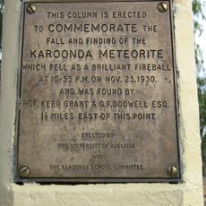
Karoonda meteorite
102 km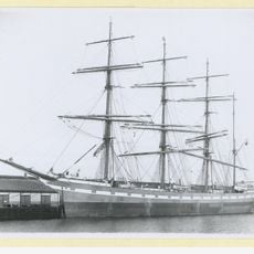
Hougomont
56.7 km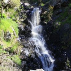
Ingalalla Waterfalls
149.6 km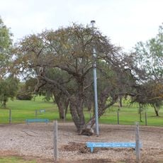
Old Mulberry Tree at Reeves Point
84.8 km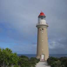
Cape du Couedic Lighthouse
33.9 km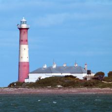
Troubridge Island Lighthouse
123.6 km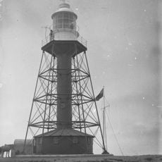
South Neptune Island Lighthouse
71 km
Cape Jervis Lighthouse
126.2 km
Cape Spencer Lighthouse
53 km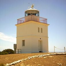
Cape Borda Lightstation
11.4 km
Corny Point Lighthouse
99.2 km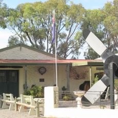
Bublacowie Military Museum
123.5 km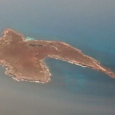
Stickney Island
126.4 km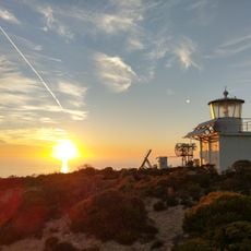
Wedge Island lighthouse
67.8 km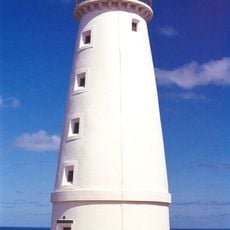
Cape Willoughby Lighthouse
128.7 km
Axel Stenross Maritime Museum
140.4 km
Hope Cottage-National Trust
84.3 km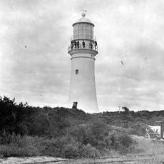
Althorpe Island Lighthouse
44.6 km
Bublacowie Military Museum
123.4 km
Lot 1 Fishery Bay
132.3 km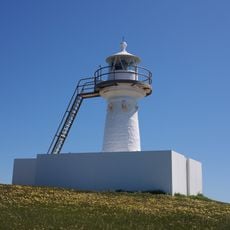
Cape St Albans lighthouse
127.8 km
Red Banks Beach
135.6 km
Lone Pine Lookout
134 kmBeoordelingen
Heeft u deze plek bezocht? Tik op de sterren om een beoordeling te geven en uw ervaring of foto's te delen met de community! Probeer het nu! U kunt het op elk moment annuleren.
Ontdek verborgen schatten op elk avontuur!
Van karakteristieke kleine cafeetjes tot geheime uitzichtpunten – ontvlucht de drukte en vind plekken die echt bij jou passen. Onze app maakt het makkelijk: spraakzoekopdrachten, slimme filters, geoptimaliseerde routes en authentieke tips van reizigers wereldwijd. Download nu en beleef het avontuur op je smartphone!

Een nieuwe benadering van toeristische ontdekking❞
— Le Figaro
Alle plekken die de moeite waard zijn om te ontdekken❞
— France Info
Een uitstapje op maat in slechts een paar klikken❞
— 20 Minutes