
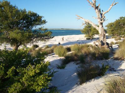
Île d’Europa, Ramsar site in France
Locatie: French Southern and Antarctic Lands
Ontstaan: 27 oktober 2011
Hoogte boven de zeespiegel: 0 m
GPS-coördinaten: -22.35000,40.35000
Laatste update: 3 april 2025 om 13:06
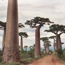
Allée des baobabs
482.4 km
Tsingy de Bemaraha
615.2 km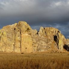
Isalo National Park
507.9 km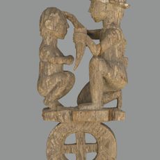
Aloalo
442 km
Kirindy Forest
511.4 km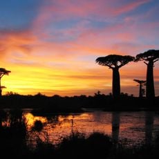
Nationaal park Kirindy Mitea
428.3 km
Bazaruto National Park
509.8 km
Praia da Barra
520.2 km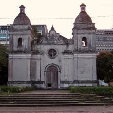
Old Cathedral of Quelimane
615.3 km
Arboretum d'Antsokay
368.8 km
Forte de Nossa Senhora da Conceição de Inhambane
535.8 km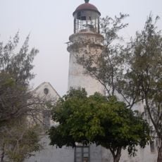
Bazaruto Lighthouse
510.4 km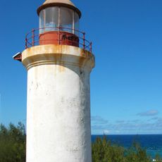
Barra Point Lighthouse
518.2 km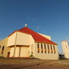
Our Lady of the Immaculate Conception Cathedral, Inhambane
536 km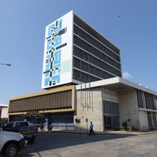
Quelimane branch of Banco of Mozambique
615.3 km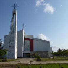
Sé de Quelimane
615.7 km
Zalala Beach
604.9 km
Igreja de Nossa Senhora da Conceição
536 km
Hotel Chuabo
615.4 km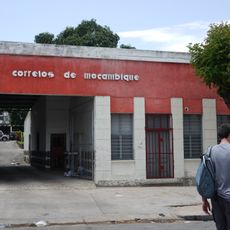
Correios de Moçambique Inhambane
536.1 km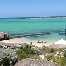
Anakao Beach
367.8 km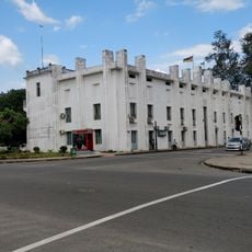
Quelimane townhall
615.2 km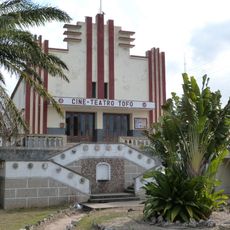
Cinema Tofo
536 km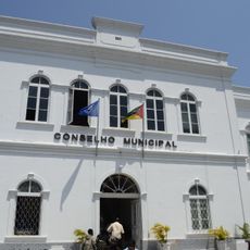
Edifício do Concelho Municipal de Inhambane
536 km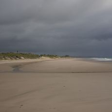
Morrungulo Beach
508 km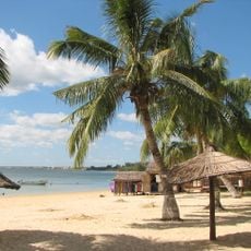
Ifaty Beach
345.5 km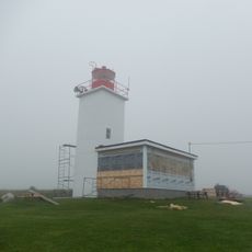
Cap Sainte-Marie Lighthouse
606.3 km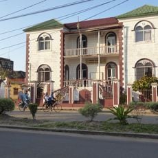
Tribunal de Quelimane
615.5 kmBeoordelingen
Heeft u deze plek bezocht? Tik op de sterren om een beoordeling te geven en uw ervaring of foto's te delen met de community! Probeer het nu! U kunt het op elk moment annuleren.
Ontdek verborgen schatten op elk avontuur!
Van karakteristieke kleine cafeetjes tot geheime uitzichtpunten – ontvlucht de drukte en vind plekken die echt bij jou passen. Onze app maakt het makkelijk: spraakzoekopdrachten, slimme filters, geoptimaliseerde routes en authentieke tips van reizigers wereldwijd. Download nu en beleef het avontuur op je smartphone!

Een nieuwe benadering van toeristische ontdekking❞
— Le Figaro
Alle plekken die de moeite waard zijn om te ontdekken❞
— France Info
Een uitstapje op maat in slechts een paar klikken❞
— 20 Minutes