
Groaíras, gemeente in Ceará
Locatie: Ceará
Hoogte boven de zeespiegel: 70 m
Grenst aan: Cariré, Forquilha, Santa Quitéria, Sobral
Website: http://groairas.ce.gov.br
GPS-coördinaten: -3.91278,-40.38278
Laatste update: 21 april 2025 om 05:11
Jericoacoara Beach
125.6 km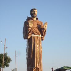
Estatua de San Francisco de Asís
129.9 km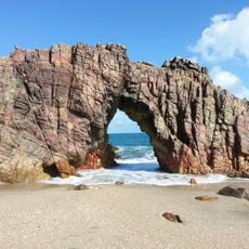
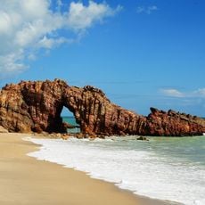
Nationaal park Jericoacoara
124.6 km
Nationaal park Ubajara
59.5 km
Praia do Preá
122.5 km
Mother Church of Our Lady of the Assumption (Viçosa do Ceará)
87.8 km
Praia da Taíba
126.1 km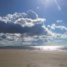
Praia de Mundaú
137.8 km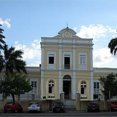
Santa Casa de Misericórdia de Sobral
24.6 km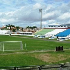
Estádio do Junco
26.6 km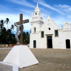
Church of Our Lady of the Conception
124.7 km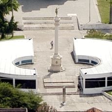
Museu do Eclipse
25.1 km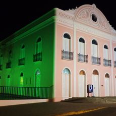
Teatro São João (Sobral)
25.4 km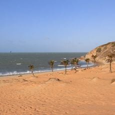
Praia da Malhada
125.7 km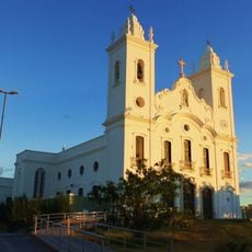
Sobral Cathedral
24.9 km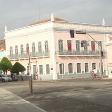
Museu Dom José
25.6 km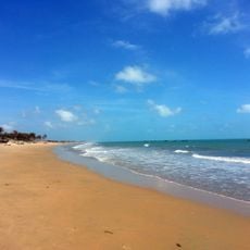
Praia de Almofala
124 km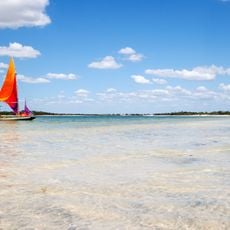
Tatajuba
122.6 km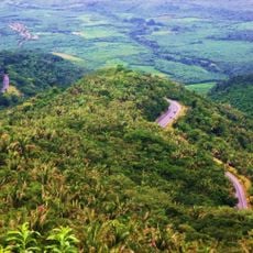
Serra da Ibiapaba Environmental Protection Area
113.4 km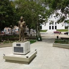
Praça Clóvis Beviláqua
87.7 km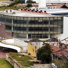
Biblioteca Municipal Lustosa da Costa
24.8 km
Pinacoteca de Sobral
25.5 km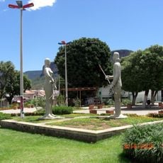
Iracema e o Guerreiro Branco Martim
58.4 km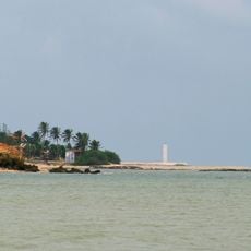
Camocim Lighthouse
128.4 km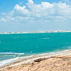
Barra dos remédios
138.3 km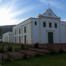
Igreja Nossa Senhora do Desterro
58.7 km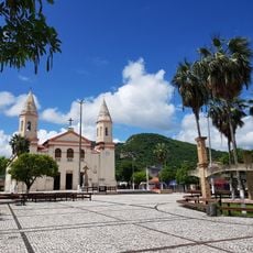
Cathedral of Our Lady of Mercy, Itapipoca
100.1 km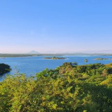
Açude Forquilha
19.5 kmHeeft u deze plek bezocht? Tik op de sterren om een beoordeling te geven en uw ervaring of foto's te delen met de community! Probeer het nu! U kunt het op elk moment annuleren.
Ontdek verborgen schatten op elk avontuur!
Van karakteristieke kleine cafeetjes tot geheime uitzichtpunten – ontvlucht de drukte en vind plekken die echt bij jou passen. Onze app maakt het makkelijk: spraakzoekopdrachten, slimme filters, geoptimaliseerde routes en authentieke tips van reizigers wereldwijd. Download nu en beleef het avontuur op je smartphone!

Een nieuwe benadering van toeristische ontdekking❞
— Le Figaro
Alle plekken die de moeite waard zijn om te ontdekken❞
— France Info
Een uitstapje op maat in slechts een paar klikken❞
— 20 Minutes