
Pellegrini, nederzetting in Argentinië
Locatie: Pellegrini Partido
Hoogte boven de zeespiegel: 105 m
GPS-coördinaten: -36.26667,-63.13333
Laatste update: 18 maart 2025 om 06:56
Parque Luro
123.9 km
Laguna Don Tomás
113 km
Centro cívico de Santa Rosa
109.9 km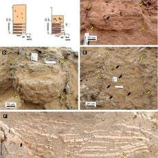
Cerro Azul Formation
154.6 km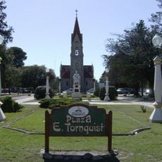
Plaza Ernesto Tornquist
219.5 km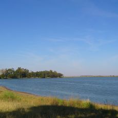
Laguna La Arocena
82.5 km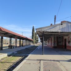
General Pico Station
87.4 km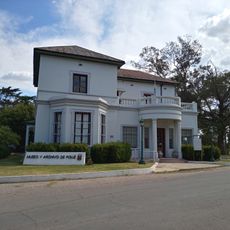
Museum and Archives of the City of Pigüé
162.2 km
Isla La Sistina
99.4 km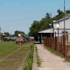
Estacion de Ferrocarril General Pinto
201 km
Museo MUBAL
213.1 km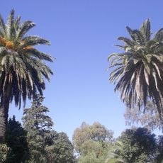
Casona Laplacette
199 km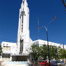
Adolfo Alsina town hall
107 km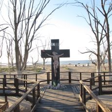
Cruz del Cementerio de Carhué
105.2 km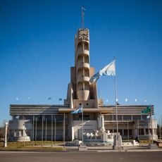
Palacio Municipal de Guaminí
104.4 km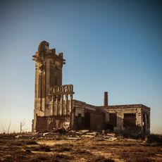
Matadero de Villa Epecuén
102.6 km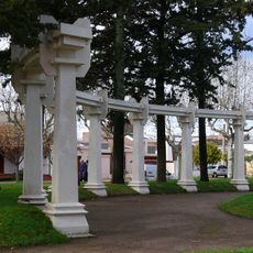
Plaza General José de San Martín
2.8 km
Cathedral of St. Rose of Lima
110.9 km
Museo Regional Dr. Adolfo Alsina
107 km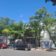
Biblioteca Popular Municipal José Manuel Estrada
87.5 km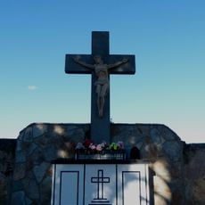
Cruz del Cementerio de Tornquist
218.6 km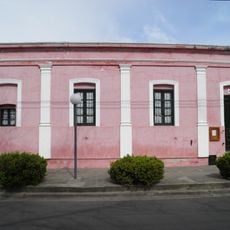
Almafuerte Civic Museum
48.8 km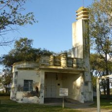
Matadero de Tres Lomas
32.6 km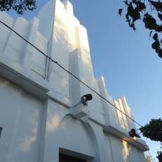
Delegación municipal de Tres Lomas
32.5 km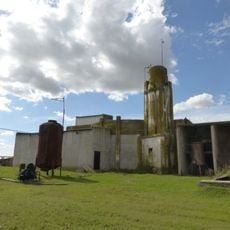
Matadero de Pellegrini
3.8 km
Cruz de ingreso a la ciudad de Guaminí
105.4 km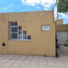
Biblioteca Popular Joaquín V. González
87.4 km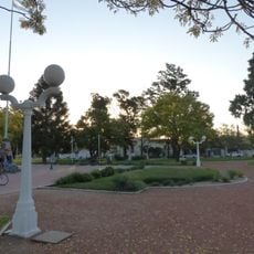
Plaza Leandro N. Alem
32.4 kmHeeft u deze plek bezocht? Tik op de sterren om een beoordeling te geven en uw ervaring of foto's te delen met de community! Probeer het nu! U kunt het op elk moment annuleren.
Ontdek verborgen schatten op elk avontuur!
Van karakteristieke kleine cafeetjes tot geheime uitzichtpunten – ontvlucht de drukte en vind plekken die echt bij jou passen. Onze app maakt het makkelijk: spraakzoekopdrachten, slimme filters, geoptimaliseerde routes en authentieke tips van reizigers wereldwijd. Download nu en beleef het avontuur op je smartphone!

Een nieuwe benadering van toeristische ontdekking❞
— Le Figaro
Alle plekken die de moeite waard zijn om te ontdekken❞
— France Info
Een uitstapje op maat in slechts een paar klikken❞
— 20 Minutes