
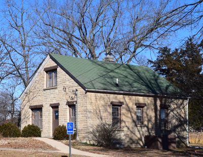
Rolla Ranger Station Historic District
Rolla Ranger Station Historic District, historic district in Missouri, United States
Locatie: Rolla
Adres: Bridge School Road and Kingshighway
GPS-coördinaten: 37.94361,-91.78972
Laatste update: 8 maart 2025 om 17:03
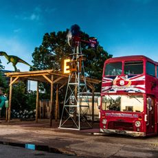
Uranus Missouri
30.5 km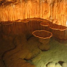
Onondaga Cave State Park
50.7 km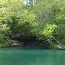
Maramec Spring
22.6 km
Marine Corps Detachment, Fort Leonard Wood
37.3 km
Dillard Mill State Historic Site
57.1 km
Allgood–Bailey Stadium
1.1 km
Fort Wyman
1.4 km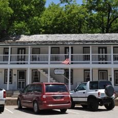
Old Stagecoach Stop
38.2 km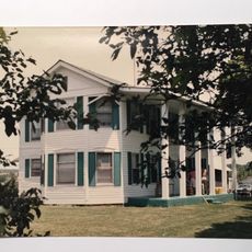
Calloway Manes Homestead
53.8 km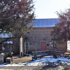
Maries County Jail and Sheriff's House
30.3 km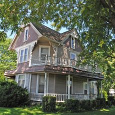
George B. Hamilton House
36.6 km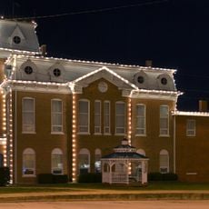
Dent County Courthouse
40 km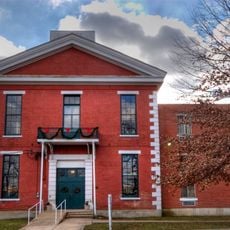
Phelps County Courthouse
1.5 km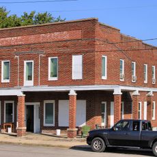
Hotel Cuba
35.4 km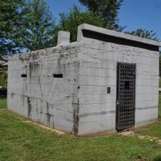
Cuba City Jail
36.2 km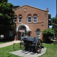
Pulaski County Courthouse
38.3 km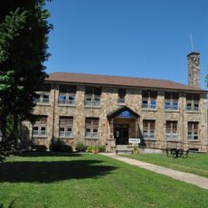
Cuba High School Annex
36 km
St. James Chapel
16.4 km
John Manson Munro House
36.2 km
Uptown Cuba Historic District
36.1 km
Cuba Lodge No. 312 A.F. and A.M.
36.1 km
Montauk State Park
55.4 km
Montauk State Park Open Shelter
55.6 km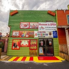
Uranus
30.5 km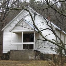
Lower Parker School
58 km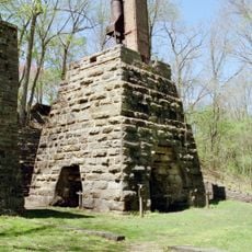
Maramec Iron Works
22.1 km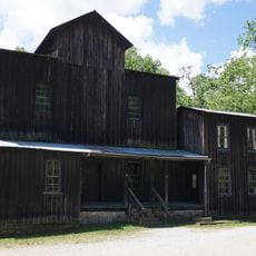
Old Mill at Montauk State Park
55.7 km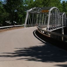
Devils Elbow Bridge
26.2 kmHeeft u deze plek bezocht? Tik op de sterren om een beoordeling te geven en uw ervaring of foto's te delen met de community! Probeer het nu! U kunt het op elk moment annuleren.
Ontdek verborgen schatten op elk avontuur!
Van karakteristieke kleine cafeetjes tot geheime uitzichtpunten – ontvlucht de drukte en vind plekken die echt bij jou passen. Onze app maakt het makkelijk: spraakzoekopdrachten, slimme filters, geoptimaliseerde routes en authentieke tips van reizigers wereldwijd. Download nu en beleef het avontuur op je smartphone!

Een nieuwe benadering van toeristische ontdekking❞
— Le Figaro
Alle plekken die de moeite waard zijn om te ontdekken❞
— France Info
Een uitstapje op maat in slechts een paar klikken❞
— 20 Minutes