
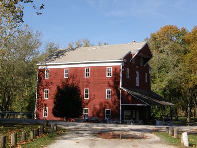
Adams Mill, United States historic place
Locatie: Democrat Township
GPS-coördinaten: 40.48056,-86.50806
Laatste update: 23 september 2025 om 15:26

Wabash and Erie Canal
19.1 km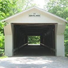
Adams Mill Covered Bridge
457 m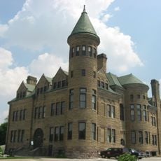
Old Frankfort Stone High School
22.3 km
Andrew Thomas House
14.5 km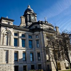
Clinton County Courthouse
22.2 km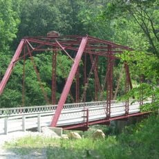
Wilson Bridge
15.6 km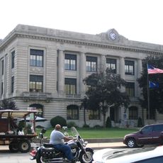
Carroll County Courthouse
18.4 km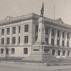
Soldiers and Sailors Monument
18.3 km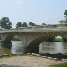
Carrollton Bridge
22.5 km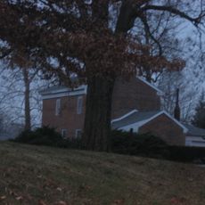
Hershey House
22.2 km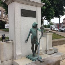
Murphy Memorial Drinking Fountain
18.4 km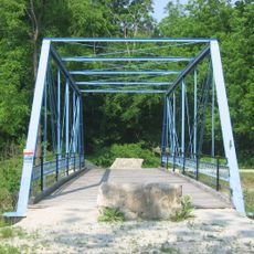
Pulaski County Bridge No. 31
18.7 km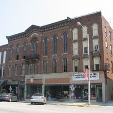
Delphi Courthouse Square Historic District
18.4 km
Christian Ridge Historic District
22.5 km
Delphi City Hall
18.3 km
Foreman-Case House
18.1 km
Frankfort Commercial Historic District
22.1 km
Barnett-Seawright-Wilson House
18.4 km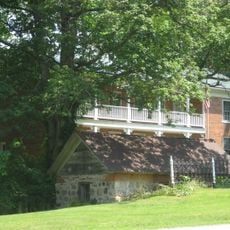
Deer Creek Valley Rural Historic District
16.2 km
South Frankfort Historic District
22.7 km
Delphi Methodist Episcopal Church
18.4 km
Niewerth Building
18.2 km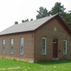
District School No. 3
19.7 km
John Young House
7.3 km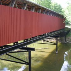
Lancaster Covered Bridge
9.3 km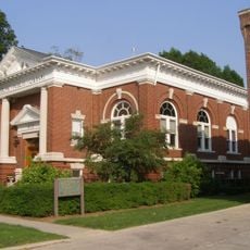
Delphi Public Library
18.2 km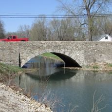
O'Connor Bridge
19.1 km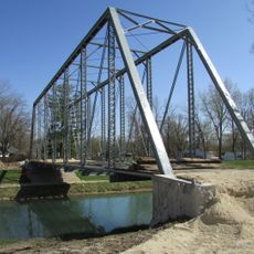
Gray Bridge
19.1 kmHeeft u deze plek bezocht? Tik op de sterren om een beoordeling te geven en uw ervaring of foto's te delen met de community! Probeer het nu! U kunt het op elk moment annuleren.
Ontdek verborgen schatten op elk avontuur!
Van karakteristieke kleine cafeetjes tot geheime uitzichtpunten – ontvlucht de drukte en vind plekken die echt bij jou passen. Onze app maakt het makkelijk: spraakzoekopdrachten, slimme filters, geoptimaliseerde routes en authentieke tips van reizigers wereldwijd. Download nu en beleef het avontuur op je smartphone!

Een nieuwe benadering van toeristische ontdekking❞
— Le Figaro
Alle plekken die de moeite waard zijn om te ontdekken❞
— France Info
Een uitstapje op maat in slechts een paar klikken❞
— 20 Minutes