
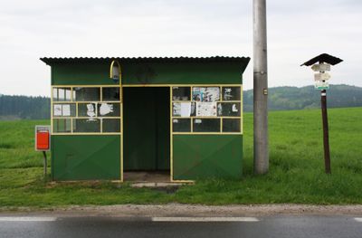
Rozcestník Krčma, turistický rozcestník v okrese Žďár nad Sázavou
Locatie: Krčma
Onderdeel van: Czech Hiking Markers System
GPS-coördinaten: 49.41924,16.21722
Laatste update: 14 maart 2025 om 08:05

Trenckova rokle
3.8 km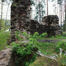
Mitrov
1.3 km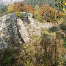
Lisek Castle
2.9 km
Mitrov
2.5 km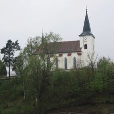
Church of Saints Simon and Jude
2.7 km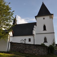
Church of Saint James the Greater (Bukov)
3.8 km
Mostek
2.5 km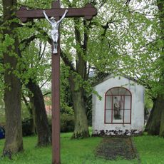
Chapel of Saint Florian (Strážek)
3 km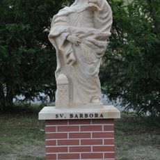
Socha svaté Barbory
3.3 km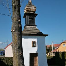
Zvonice
3.4 km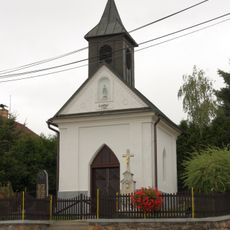
Chapel of Virgin Mary
2.6 km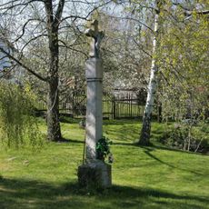
Boží muka
3.6 km
Dům čp. 18
3.8 km
Chapel of Virgin Mary
4.1 km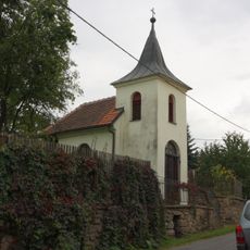
Chapel of the Virgin Mary of the Rosary
2.9 km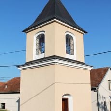
Chapel of Our Lady of Lourdes
4 km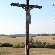
Krucifix
4.1 km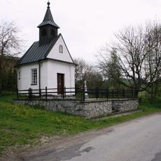
Chapel of Saints Cyril and Methodius
978 m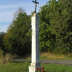
Boží muka
4.1 km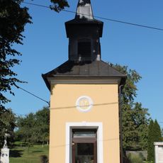
Chapel in Jemnice
3.7 km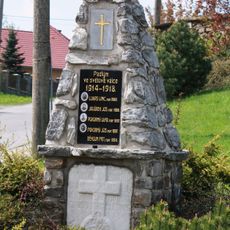
World War I memorial in Bukov
3.9 km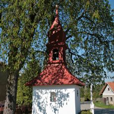
Kaplička
3.4 km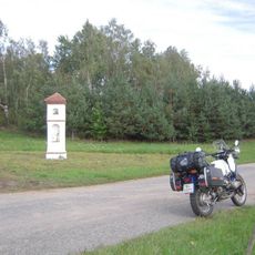
Kaplička u silnice do Moraveckých Janovic
2.1 km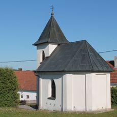
Chapel in Moravecké Janovice
2.2 km
Kříž Filipíny Krátkých u silnice jihozápadně od Nové Vsi
3.7 km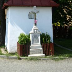
Kříž u kaple v Radňovsi
3.4 km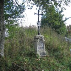
Pamětní kříž na okraji Strážku při silnici na Mitrov
2.3 km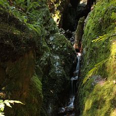
Trenckova rokle
3.8 kmHeeft u deze plek bezocht? Tik op de sterren om een beoordeling te geven en uw ervaring of foto's te delen met de community! Probeer het nu! U kunt het op elk moment annuleren.
Ontdek verborgen schatten op elk avontuur!
Van karakteristieke kleine cafeetjes tot geheime uitzichtpunten – ontvlucht de drukte en vind plekken die echt bij jou passen. Onze app maakt het makkelijk: spraakzoekopdrachten, slimme filters, geoptimaliseerde routes en authentieke tips van reizigers wereldwijd. Download nu en beleef het avontuur op je smartphone!

Een nieuwe benadering van toeristische ontdekking❞
— Le Figaro
Alle plekken die de moeite waard zijn om te ontdekken❞
— France Info
Een uitstapje op maat in slechts een paar klikken❞
— 20 Minutes