
Vodní mlýn, طاحونة مائية في التشيك
Locatie: Vracov
Architectuurstijl: baroque architecture, vernacular architecture, Gothic architecture
GPS-coördinaten: 49.39035,13.43609
Laatste update: 4 april 2025 om 09:06
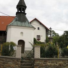
Chapel in Kroměždice
3.3 km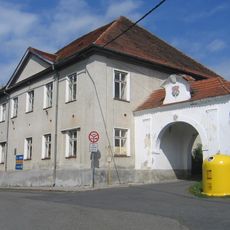
Plánice
2.9 km
Jelení vrch
977 m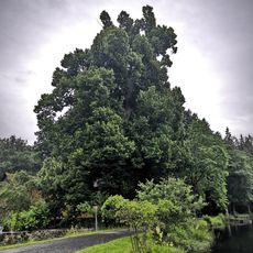
Vracovská lípa
15 m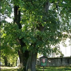
Zdebořická lípa
3.3 km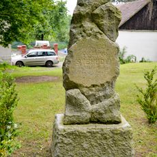
Antonín Švehla monument in Kroměždice
3.3 km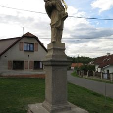
Socha svatého Jana Nepomuckého
2 km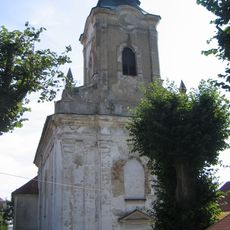
Church of Saint Blaise in Plánice
2.3 km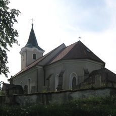
Church of Saint Giles
3.3 km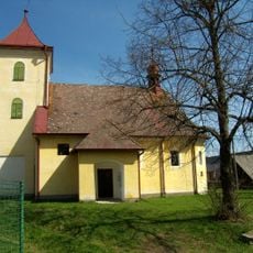
Church of Saints Peter and Paul
2.2 km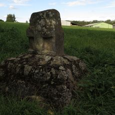
Smírčí kříž
3.2 km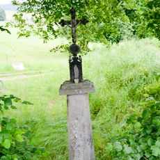
Wayside cross in Plánice
2 km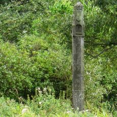
Boží muka
3 km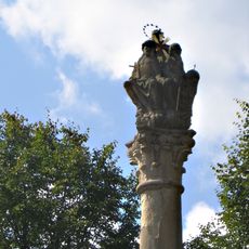
Holy Trinity column in Plánice
2.9 km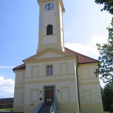
Town hall in Plánice
2.8 km
Bývalá márnice u kostela svatého Blažeje
2.3 km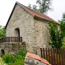
Granary by čp. 4 in Vítkovice
1.4 km
Zemědělský dvůr čp. 1
2.2 km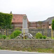
WW I memorial in Kroměždice
3.3 km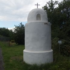
Boží muka
3.3 km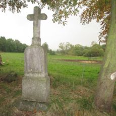
Kříž u polní cesty jižně od Kroměždic
3.1 km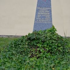
War grave with remains of Ivan Sergejevicch Filimonov
2.8 km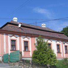
Fara
2.4 km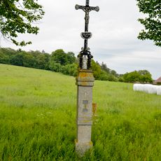
Cross west of Vitkovice north of the crossroads
2 km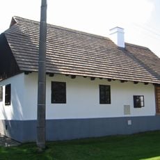
Rodný dům Františka Křižíka
2.1 km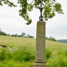
Wayside cross in Kroměždice
2.9 km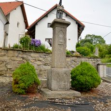
Cross by chapel in Kroměždice
3.3 km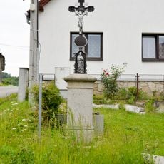
Wayside cross in Plánice
2.2 kmHeeft u deze plek bezocht? Tik op de sterren om een beoordeling te geven en uw ervaring of foto's te delen met de community! Probeer het nu! U kunt het op elk moment annuleren.
Ontdek verborgen schatten op elk avontuur!
Van karakteristieke kleine cafeetjes tot geheime uitzichtpunten – ontvlucht de drukte en vind plekken die echt bij jou passen. Onze app maakt het makkelijk: spraakzoekopdrachten, slimme filters, geoptimaliseerde routes en authentieke tips van reizigers wereldwijd. Download nu en beleef het avontuur op je smartphone!

Een nieuwe benadering van toeristische ontdekking❞
— Le Figaro
Alle plekken die de moeite waard zijn om te ontdekken❞
— France Info
Een uitstapje op maat in slechts een paar klikken❞
— 20 Minutes