
Buk u Rozhraní, memorable tree in Svitavy District, Czech Republic
Locatie: Rozhraní
Hoogte: 30 m
GPS-coördinaten: 49.60095,16.53894
Laatste update: 17 april 2025 om 23:52
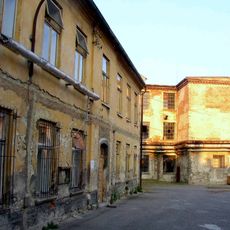
Löw-Beer's factory
3.2 km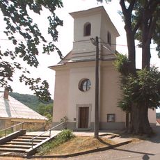
Church of the Exaltation of the Holy Cross
899 m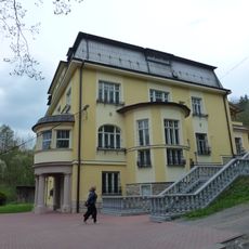
Vila Löw-Beer
2.5 km
Zámek Křetín
5 km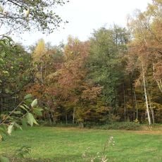
Babolský háj
2.7 km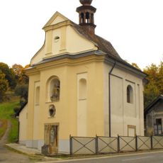
Chapel of Fourteen Holy Helpers
4.3 km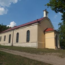
Evangelical church in Moravská Chrastová
3 km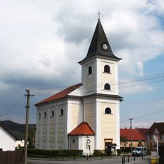
Church of Saint Jerome
5.1 km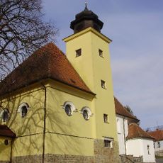
Church of Saint Andrew
4.3 km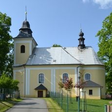
Church of Saints Peter and Paul
2.2 km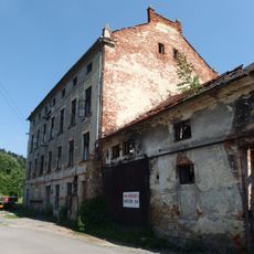
Fritzův mlýn
4.8 km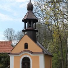
Chapel of the Holy Name of Mary (Prostřední Poříčí)
4.8 km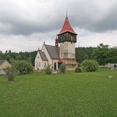
Church of Saint Catherine of Alexandria
5.3 km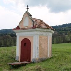
Chapel of Holy Trinity (Horní Poříčí)
4.8 km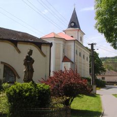
Socha svatého Jana Nepomuckého
5.1 km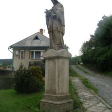
Socha svatého Jana Nepomuckého
5.1 km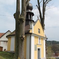
Chapel of the Assumption
4.7 km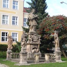
Sculpture of Saint John of Nepomuk with saints
5.2 km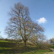
Babolecká lípa
3.4 km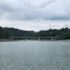
Vn Letovice, most
5.1 km
Moravské náměstí čp. 65
5.1 km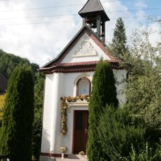
Chapel of Saint Cyril and Methodius
1.9 km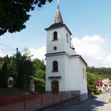
Church of Holy Trinity
3.3 km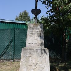
Wayside cross with coat of arms of Horní Smržov
3.6 km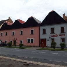
Městský dům
5.1 km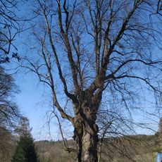
Lípa v Horákově Lhotě
3.9 km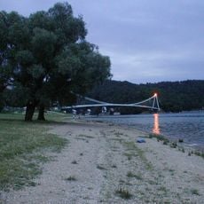
Vn Letovice, Vranova
5 km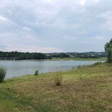
Vn Letovice, Svitavice
4.7 kmHeeft u deze plek bezocht? Tik op de sterren om een beoordeling te geven en uw ervaring of foto's te delen met de community! Probeer het nu! U kunt het op elk moment annuleren.
Ontdek verborgen schatten op elk avontuur!
Van karakteristieke kleine cafeetjes tot geheime uitzichtpunten – ontvlucht de drukte en vind plekken die echt bij jou passen. Onze app maakt het makkelijk: spraakzoekopdrachten, slimme filters, geoptimaliseerde routes en authentieke tips van reizigers wereldwijd. Download nu en beleef het avontuur op je smartphone!

Een nieuwe benadering van toeristische ontdekking❞
— Le Figaro
Alle plekken die de moeite waard zijn om te ontdekken❞
— France Info
Een uitstapje op maat in slechts een paar klikken❞
— 20 Minutes