
Jasan ztepilý, memorable tree in Opava District, Czech Republic
Locatie: Branka u Opavy
Hoogte: 23 m
GPS-coördinaten: 49.88030,17.88061
Laatste update: 24 juli 2025 om 14:10
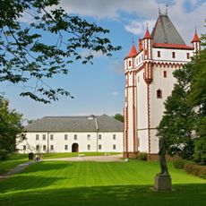
Hradec nad Moravicí Castle
1.9 km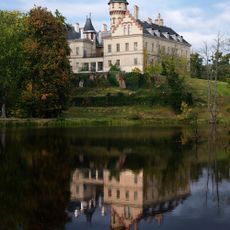
Raduň Castle
4.7 km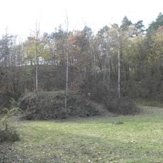
Otická sopka
4.1 km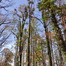
Břízy tmavé u Raduňských rybníků
4.6 km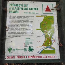
Přírodovědná a vlastivědná stezka Hanuše
2.2 km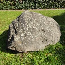
Glacial Erratic in Hradec nad Moravicí
962 m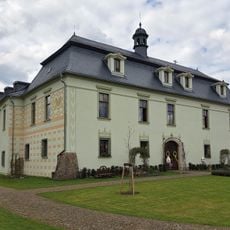
Zámek Štáblovice
4.5 km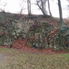
Medvědí skála
2.5 km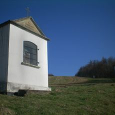
Silesian Calvary
2 km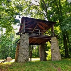
Bezruč's Viewpoint
2.8 km
Hvozdnice
4.3 km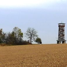
Šance
4.2 km
Kostel svatého Jakuba
723 m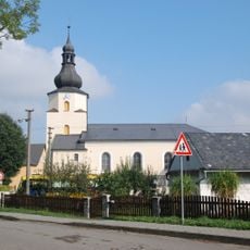
Church of Saint Lawrence (Štáblovice)
4.4 km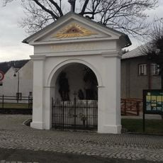
Chapel of Saint John of Nepomuk (Hradec nad Moravicí)
1.1 km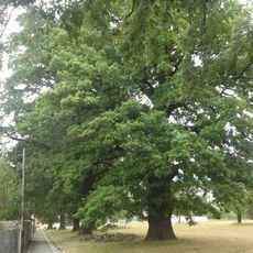
Quercus robur
4.3 km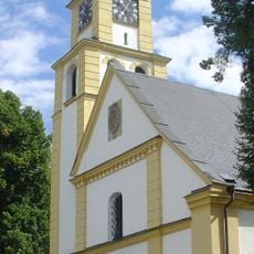
Church of Saints Peter and Paul
1.6 km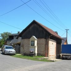
Boží muka
3.2 km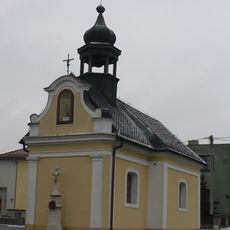
Chapel of the Annunciation
4 km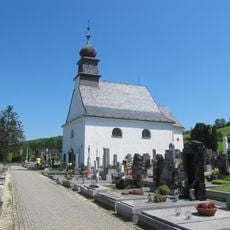
Cemetery chapel in Hradec nad Moravicí
727 m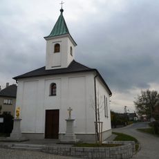
Church of the Visitation of Our Lady
4.7 km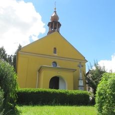
Chapel of Saint Michael
2.2 km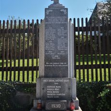
Pomník padlým v Raduni
4.7 km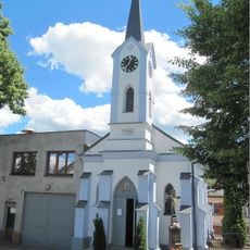
Chapel of the Sacred Heart
3.9 km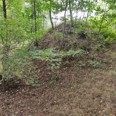
Šance Hanuše
1.7 km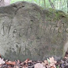
Memorial stones in Hradec nad Moravicí
2.3 km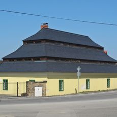
Vošárna
4.7 km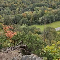
Žimrovická skála
2.6 kmBeoordelingen
Heeft u deze plek bezocht? Tik op de sterren om een beoordeling te geven en uw ervaring of foto's te delen met de community! Probeer het nu! U kunt het op elk moment annuleren.
Ontdek verborgen schatten op elk avontuur!
Van karakteristieke kleine cafeetjes tot geheime uitzichtpunten – ontvlucht de drukte en vind plekken die echt bij jou passen. Onze app maakt het makkelijk: spraakzoekopdrachten, slimme filters, geoptimaliseerde routes en authentieke tips van reizigers wereldwijd. Download nu en beleef het avontuur op je smartphone!

Een nieuwe benadering van toeristische ontdekking❞
— Le Figaro
Alle plekken die de moeite waard zijn om te ontdekken❞
— France Info
Een uitstapje op maat in slechts een paar klikken❞
— 20 Minutes