
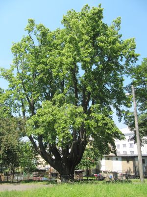
Vítkovská lípa, memorable tree in Opava District, Czech Republic
Locatie: Vítkov
Hoogte: 26 m
GPS-coördinaten: 49.77816,17.75495
Laatste update: 29 maart 2025 om 17:58
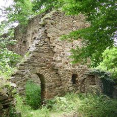
Burg Vikštejn
3.3 km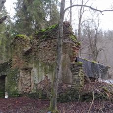
Hanzlův mlýn
4 km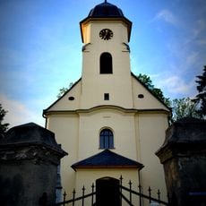
Church of Saint Margaret
3.6 km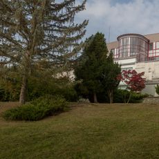
Úpravna vody Podhradí
3.1 km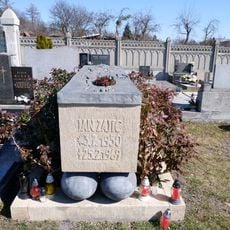
Grave of Jan Zajíc
540 m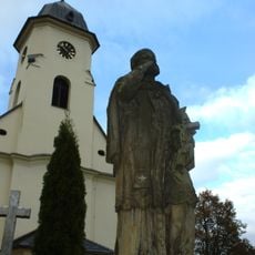
Socha svatého Jana Nepomuckého
3.6 km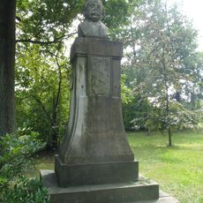
Památník Eduarda Schöna Engelsberga
486 m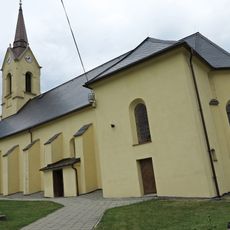
Church of the Nativity of the Virgin Mary in Radkov
5.5 km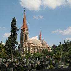
Parish church of the Assumption of the Virgin Mary
455 m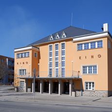
Kino
103 m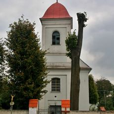
Church of Saint Andrew
3.5 km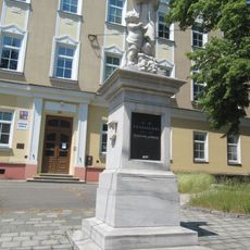
Pomník J. H. Pestalozziho
112 m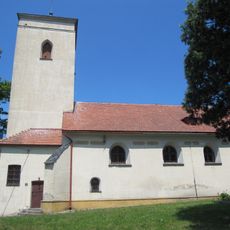
Cemetery church of the Assumption of Virgin Mary
553 m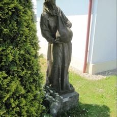
Socha svatého Felixe
4.4 km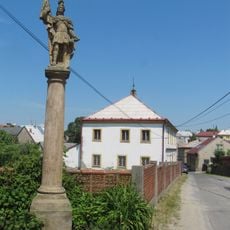
Socha svatého Floriána
499 m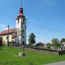
Church and cemetery in Nové Těchanovice
4.4 km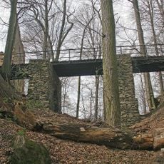
Entrance bridge of Vikštejn
3.3 km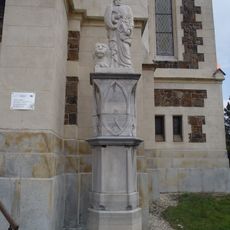
Statue of Saint Mark in Vítkov
457 m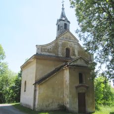
Chapel of the Exaltation of the Holy Cross
3.2 km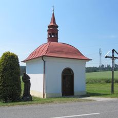
Chapel of Our Lady of Sorrows
4.4 km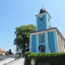
Church of the Assumption of the Virgin Mary
4.8 km
Former brewery in Vítkov
353 m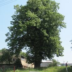
Lípa ve Vítkově
324 m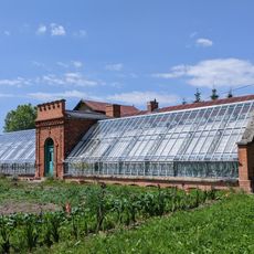
Hospodářské objekty zámku Dubová
4.2 km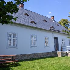
Fara
5.5 km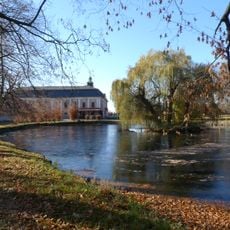
Castle Dubová
4.3 km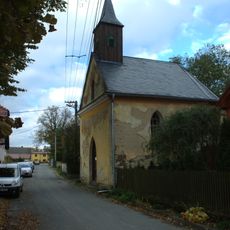
Kaple svatého Josefa
2.6 km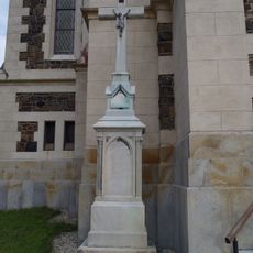
Kříž ve Vítkově u farního kostela Nanebevzetí Panny Marie
447 mHeeft u deze plek bezocht? Tik op de sterren om een beoordeling te geven en uw ervaring of foto's te delen met de community! Probeer het nu! U kunt het op elk moment annuleren.
Ontdek verborgen schatten op elk avontuur!
Van karakteristieke kleine cafeetjes tot geheime uitzichtpunten – ontvlucht de drukte en vind plekken die echt bij jou passen. Onze app maakt het makkelijk: spraakzoekopdrachten, slimme filters, geoptimaliseerde routes en authentieke tips van reizigers wereldwijd. Download nu en beleef het avontuur op je smartphone!

Een nieuwe benadering van toeristische ontdekking❞
— Le Figaro
Alle plekken die de moeite waard zijn om te ontdekken❞
— France Info
Een uitstapje op maat in slechts een paar klikken❞
— 20 Minutes