
Sušice tilia, memorable tree in Přerov District, Czech Republic
Locatie: Sušice
Hoogte: 23 m
GPS-coördinaten: 49.49306,17.52075
Laatste update: 17 maart 2025 om 04:16

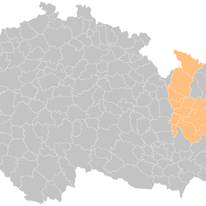
Lipník nad Bečvou (klein district)
4.2 km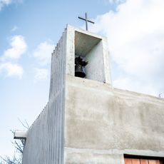
Kaple svatého Vendelína
2.8 km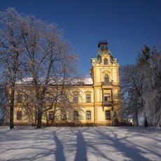
Pavlovice u Přerova Castle
3.5 km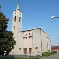
Church of Saint Joseph
1.8 km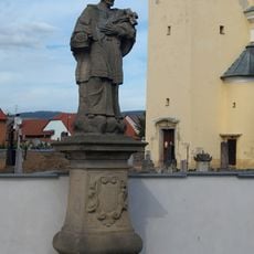
Sochy svatého Tadeáše a svatého Jana Nepomuckého
2 km
Sochy svatého Františka Serafinského, svatého Šebestiána a Panny Marie
3.4 km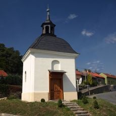
Chapel of Saint Urban
4 km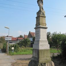
Statue of John of Nepomuk
1.7 km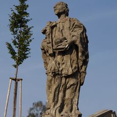
Sochy svatého Jana Nepomuckého a svatého Jana Sarkandra
3.4 km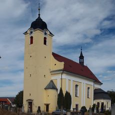
Church of the Exaltation of the Holy Cross
2.1 km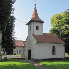
Chapel of Saint John the Baptist
2.1 km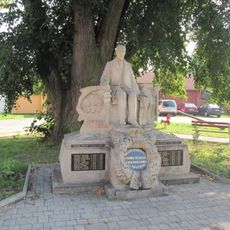
Statue of Tomáš Garrigue Masaryk, Radslavice
1.7 km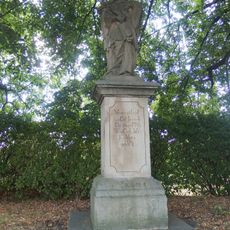
Socha svatého Jana Nepomuckého
4.3 km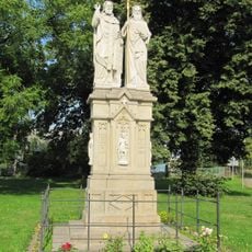
Statue of Saints Cyril and Methodius, Radslavice
1.7 km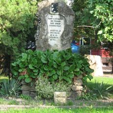
Red Army monument in Radslavice (Přerov)
1.7 km
Maria Magdaléno kající in Radslavice
1.8 km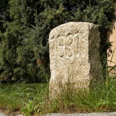
Hraniční kámen
2.1 km
Maria bez poškvrny počatá in Radslavice
1.8 km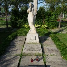
Memorial to Red Army men
1.7 km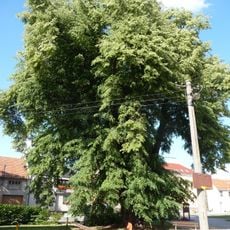
Tilia in Radslavice
1.7 km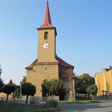
Church of Saint John the Baptist
2.9 km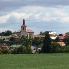
Church of Saint Giles
3.4 km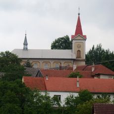
Church of Saint Bartholomew
4.3 km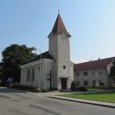
Chapel of the Visitation
1.6 km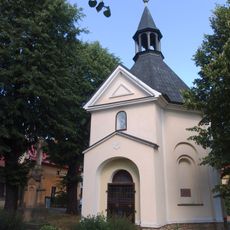
Chapel of Saint Wendelin
4 km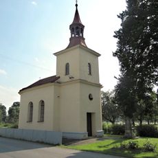
Chapel of Saints Philip and James
1.4 km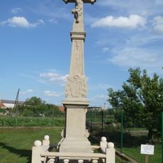
Wayside cross (Radslavice, Přerov)
1.9 km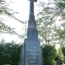
Wayside cross
1.7 kmHeeft u deze plek bezocht? Tik op de sterren om een beoordeling te geven en uw ervaring of foto's te delen met de community! Probeer het nu! U kunt het op elk moment annuleren.
Ontdek verborgen schatten op elk avontuur!
Van karakteristieke kleine cafeetjes tot geheime uitzichtpunten – ontvlucht de drukte en vind plekken die echt bij jou passen. Onze app maakt het makkelijk: spraakzoekopdrachten, slimme filters, geoptimaliseerde routes en authentieke tips van reizigers wereldwijd. Download nu en beleef het avontuur op je smartphone!

Een nieuwe benadering van toeristische ontdekking❞
— Le Figaro
Alle plekken die de moeite waard zijn om te ontdekken❞
— France Info
Een uitstapje op maat in slechts een paar klikken❞
— 20 Minutes