
Chaloupky u Otaslavic, zrušené katastrální území v okrese Prostějov
Locatie: Otaslavice
Ontstaan: 3 maart 2014
GPS-coördinaten: 49.38130,17.03861
Laatste update: 5 april 2025 om 13:39
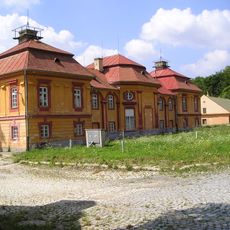
Ferdinandsko
5.7 km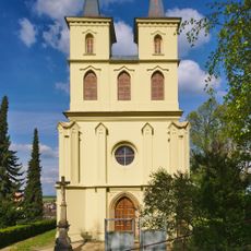
Otaslavice – kostel
2.1 km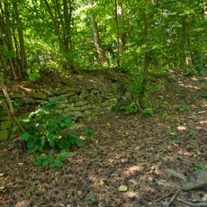
Melice
5.2 km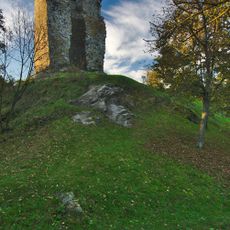
Dolní hrad
2.2 km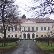
Zámek Brodek u Prostějova
3.4 km
Pod Obrovou nohou
1.1 km
Kopaniny
2.7 km
Blátka
3.5 km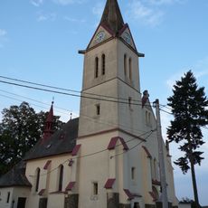
Church of Saints Cyril and Methodius
2.6 km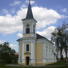
Church of the Nativity of the Virgin Mary
5.4 km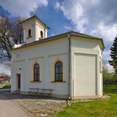
Kaple svatého Floriána
3.3 km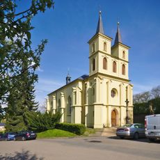
Church of Saint Michael (Otaslavice)
2.1 km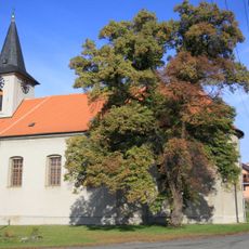
Church of the Annunciation (Myslejovice)
2.9 km
Church of Our Lady of Sorrows
5.5 km
Church of the Exaltation of the Holy Cross
4 km
Church of Saint Cunigunde
5.1 km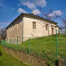
Fara
2.2 km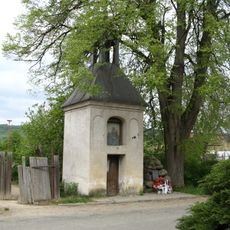
Kaplička se zvonicí
2.4 km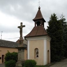
Zvonice
2.7 km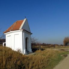
Chapel of Saint Anne near Dětkovice
4.5 km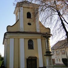
Chapel of Saint Anne
5 km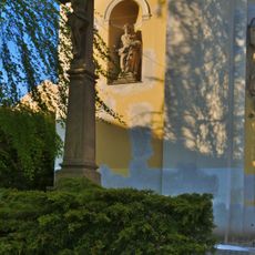
Krucifix
4 km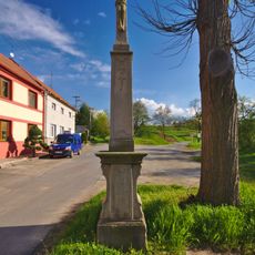
Krucifix
2.5 km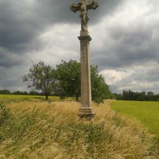
Krucifix
5.1 km
Zájezdní hostinec
5.4 km
Usedlost čp. 64 se žudrem
4 km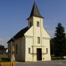
Kaple Blahoslavené Panny Marie
4.9 km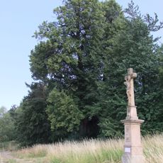
Dobrochovská lípa
4.4 kmHeeft u deze plek bezocht? Tik op de sterren om een beoordeling te geven en uw ervaring of foto's te delen met de community! Probeer het nu! U kunt het op elk moment annuleren.
Ontdek verborgen schatten op elk avontuur!
Van karakteristieke kleine cafeetjes tot geheime uitzichtpunten – ontvlucht de drukte en vind plekken die echt bij jou passen. Onze app maakt het makkelijk: spraakzoekopdrachten, slimme filters, geoptimaliseerde routes en authentieke tips van reizigers wereldwijd. Download nu en beleef het avontuur op je smartphone!

Een nieuwe benadering van toeristische ontdekking❞
— Le Figaro
Alle plekken die de moeite waard zijn om te ontdekken❞
— France Info
Een uitstapje op maat in slechts een paar klikken❞
— 20 Minutes