
Skelná Huť, natuurgebied in Tsjechië
Locatie: Protivanov
Ontstaan: 7 juli 1988
GPS-coördinaten: 49.46860,16.80080
Laatste update: 30 maart 2025 om 05:37
Skalky
3.8 km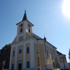
Church of the Nativity of the Virgin Mary
3.1 km
Meteoradar Skalky
3.7 km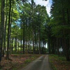
Skály (Drahanská vrchovina)
2.5 km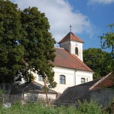
Church of Saint Bartholomew
3.1 km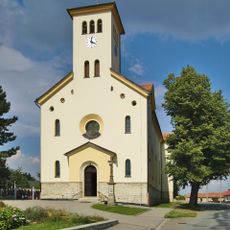
Church of Saints Cyril and Methodius
4.1 km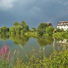
Nivské louky
4.9 km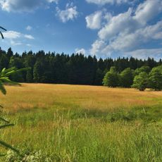
Louky pod Skalami
2.2 km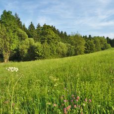
Protivanov
4 km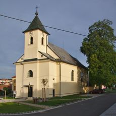
Church of the Exaltation of the Holy Cross
5.1 km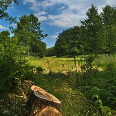
Pod Liščím kupem
4 km
U žlíbku
1.2 km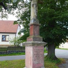
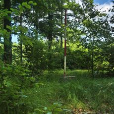
Cross in Housko
4.2 km
Krucifix
3.5 km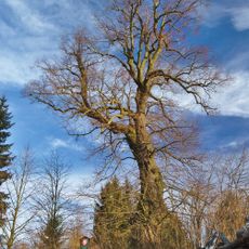
Bukovská lípa
5.1 km
Chapel of Our Lady of Sorrows
4.9 km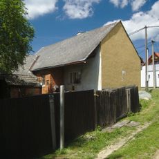
Usedlost čp. 79
5 km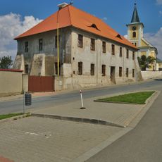
Fara
3.1 km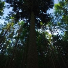
Jedle pod Skalami
2.1 km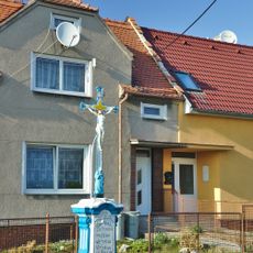
Krucifix
2.4 km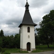
Bell tower in Niva
4.9 km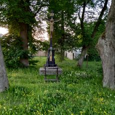
Krucifix
4.9 km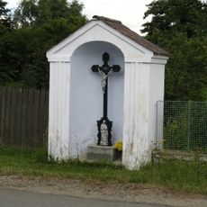
Chapel-shrine with wayside cross in Niva
4.6 km
Výklenková kaplička
2.6 km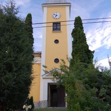
Chapel of Saint Joseph
5 km
Stráň nad Huťským potokem
1.1 km
Protivanov
4 km
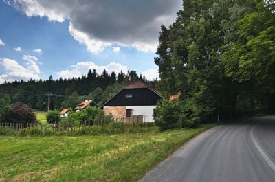
Deserted farmyard
4.8 kmHeeft u deze plek bezocht? Tik op de sterren om een beoordeling te geven en uw ervaring of foto's te delen met de community! Probeer het nu! U kunt het op elk moment annuleren.
Ontdek verborgen schatten op elk avontuur!
Van karakteristieke kleine cafeetjes tot geheime uitzichtpunten – ontvlucht de drukte en vind plekken die echt bij jou passen. Onze app maakt het makkelijk: spraakzoekopdrachten, slimme filters, geoptimaliseerde routes en authentieke tips van reizigers wereldwijd. Download nu en beleef het avontuur op je smartphone!

Een nieuwe benadering van toeristische ontdekking❞
— Le Figaro
Alle plekken die de moeite waard zijn om te ontdekken❞
— France Info
Een uitstapje op maat in slechts een paar klikken❞
— 20 Minutes