
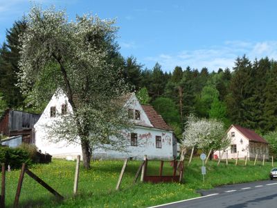
Nahořany, part of Větřní in Český Krumlov District
Locatie: Větřní
Hoogte boven de zeespiegel: 640 m
GPS-coördinaten: 48.71780,14.32920
Laatste update: 10 maart 2025 om 14:24
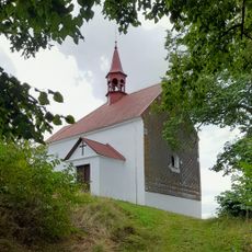
Chapel in Malšín
5.9 km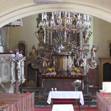
Church of the Assumption of the Virgin Mary
4.8 km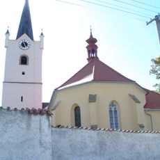
Church of Sacred Heart
5.5 km
Běleňská lípa
3.2 km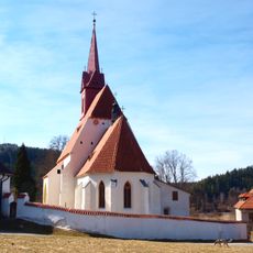
Church of Saint John the Baptist
1.1 km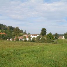
Poluška
6.7 km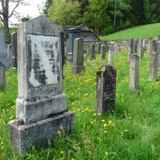
New Jewish cemetery in Rožmberk nad Vltavou
6.6 km
Hrádek u Ostrova
5.9 km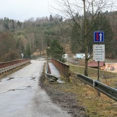
Most přes Vltavu u kempu Vltava
2.1 km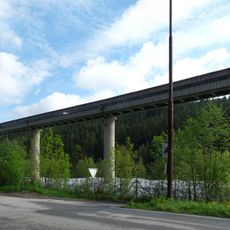
Dopravníkový most v papírnách ve Větřní
6.3 km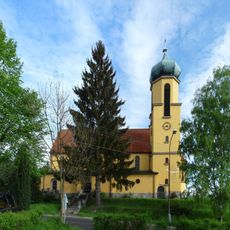
Church of Saint John of Nepomuk
7 km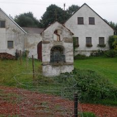
Výklenková kaplička
5.8 km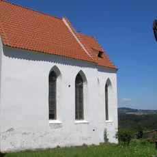
Chapel of the Visitation of Our Lady
2.7 km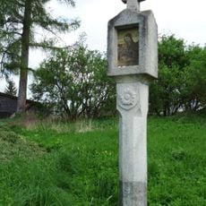
Boží muka
4.3 km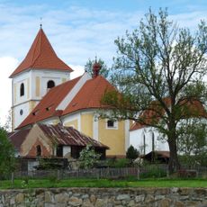
Church of Saints Peter and Paul
2.7 km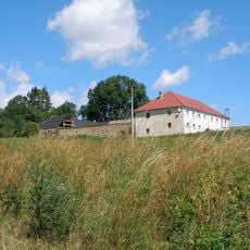
Usedlost čp. 4
4.9 km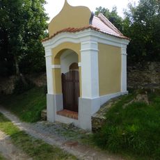
Výklenková kaplička
2.7 km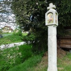
Boží muka
4.2 km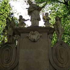
Sousoší svatého Jana Nepomuckého
4.7 km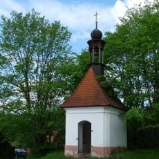
Kaple
5.8 km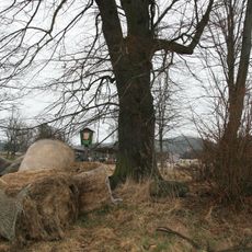
Michnická lípa
5.4 km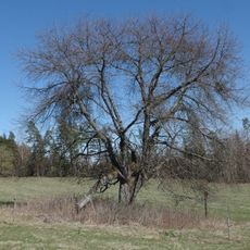
Třešeň ptačí
6.2 km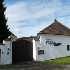
Fara
1.1 km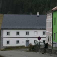
Dům čp. 39
4.8 km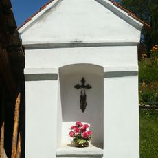
Chapel shrine in Dobrné
4.9 km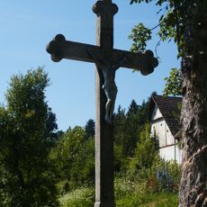
Cross in Dobrné
4.9 km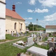
Cemetery in Malšín
5.5 km
Most Zátoň - Zátoňské Dvory
1.1 kmHeeft u deze plek bezocht? Tik op de sterren om een beoordeling te geven en uw ervaring of foto's te delen met de community! Probeer het nu! U kunt het op elk moment annuleren.
Ontdek verborgen schatten op elk avontuur!
Van karakteristieke kleine cafeetjes tot geheime uitzichtpunten – ontvlucht de drukte en vind plekken die echt bij jou passen. Onze app maakt het makkelijk: spraakzoekopdrachten, slimme filters, geoptimaliseerde routes en authentieke tips van reizigers wereldwijd. Download nu en beleef het avontuur op je smartphone!

Een nieuwe benadering van toeristische ontdekking❞
— Le Figaro
Alle plekken die de moeite waard zijn om te ontdekken❞
— France Info
Een uitstapje op maat in slechts een paar klikken❞
— 20 Minutes