
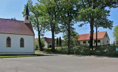
Bělá u Malont, village in Český Krumlov District of South Bohemian region
Locatie: Malonty
Hoogte boven de zeespiegel: 703 m
GPS-coördinaten: 48.65750,14.58470
Laatste update: 4 maart 2025 om 01:26
Pivonické skály
7.4 km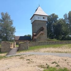
Tichá Castle
4.9 km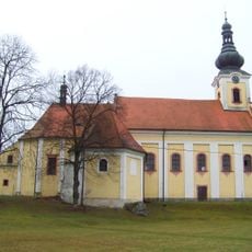
Kirche Maria Schnee (Dolní Dvořiště)
6.8 km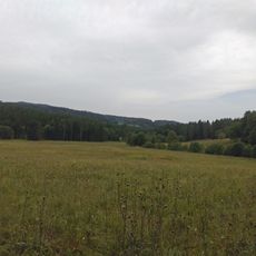
Horní Malše
3.5 km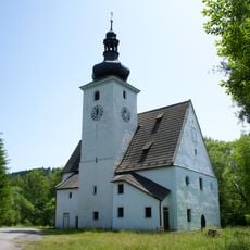
Church of the Nativity of the Virgin Mary (Cetviny)
5.4 km
Rectory in Malonty
3.3 km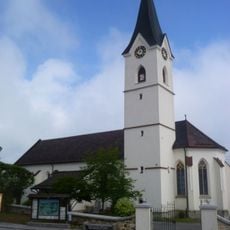
Pfarrkirche Windhaag bei Freistadt
8.1 km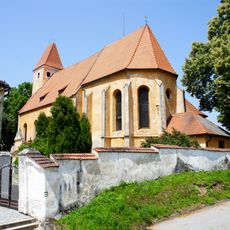
Church of Saint Bartholomew
3.3 km
Myslivna
7.5 km
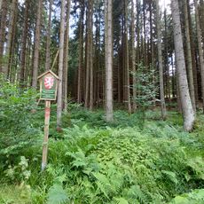
Rapotická březina
3.7 km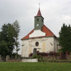
Church of Saint Leonard
4.8 km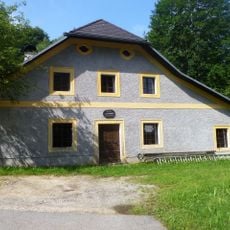
Freilichtmuseum Hofwieshammer
7.4 km
Church of Our Lady of the Snow (Svatý Kámen)
6.8 km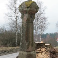
Column shrine in Jaroměř
6 km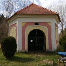
Kaple nad studánkou s křížovou cestou
6.8 km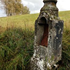
Chapel
4.7 km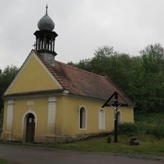
Chapel of the Good Shepherd
6.7 km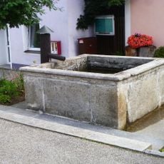
Brunnen
8.1 km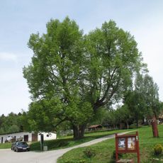
Lípa malolistá
4.9 km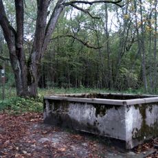
Water tank
5.4 km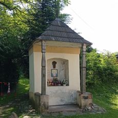
Výklenková kaplička
84 m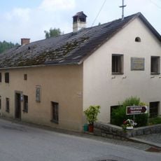
Altes Schulhaus, Ehem. Bruckner-Schule
8 km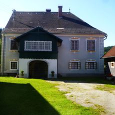
Gewerkenhaus und Pferdestall, Rößlhammer
5.7 km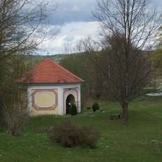
Studniční kaple poblíž poutního kostela Panny Marie Sněžné v lokalitě Svatý Kámen
6.8 km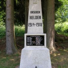
Pomník v Kuří
6.7 km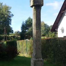
Boží muka v Kuří
6.6 km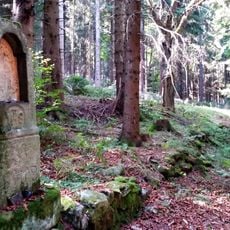
Boží muka v zaniklé Klepné
6.7 km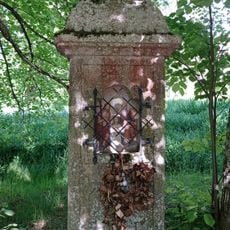
Chapel with a niche and a cross in Radčice
3.5 kmHeeft u deze plek bezocht? Tik op de sterren om een beoordeling te geven en uw ervaring of foto's te delen met de community! Probeer het nu! U kunt het op elk moment annuleren.
Ontdek verborgen schatten op elk avontuur!
Van karakteristieke kleine cafeetjes tot geheime uitzichtpunten – ontvlucht de drukte en vind plekken die echt bij jou passen. Onze app maakt het makkelijk: spraakzoekopdrachten, slimme filters, geoptimaliseerde routes en authentieke tips van reizigers wereldwijd. Download nu en beleef het avontuur op je smartphone!

Een nieuwe benadering van toeristische ontdekking❞
— Le Figaro
Alle plekken die de moeite waard zijn om te ontdekken❞
— France Info
Een uitstapje op maat in slechts een paar klikken❞
— 20 Minutes