
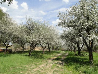
Dolní vinohrádky, protected area in Czech Republic
Locatie: Čechovice
Ontstaan: 29 juli 1952
GPS-coördinaten: 49.45290,17.05610
Laatste update: 6 maart 2025 om 07:23
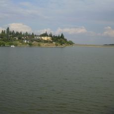
Plumlov Reservoir
2.5 km
Prostějov (klein district)
2.3 km
Church of Saint John the Baptist
2.7 km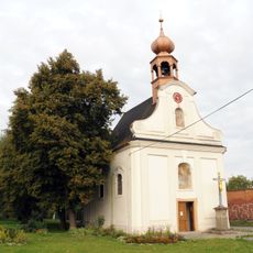
Chapel of Saint Anne
3.2 km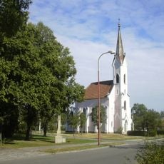
Church of Saint Joseph
2.5 km
Toufarův mlýn
1.8 km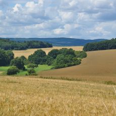
Kněží hora (nature reserve, Prostějov District)
2.6 km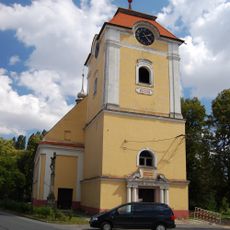
Church of the Assumption
2.3 km
Ševčíkův mlýn
1.7 km
Chapel of Saint John of Nepomuk
1.6 km
Chapel of the Holy Guardian Angel
1.4 km
Chapel of Saint Anne
2.1 km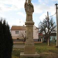
Statue of John of Nepomuk
2.5 km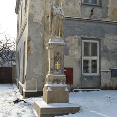
Socha svatého Libora
2.8 km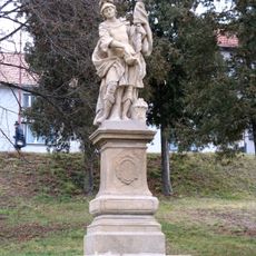
Socha svatého Floriána
2.9 km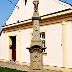
Krucifix
2.3 km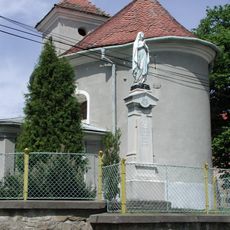
Chapel of the Assumption
1.4 km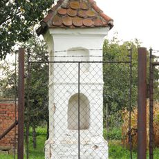
Boží muka
1.6 km
Krucifix
3 km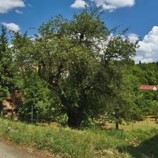
Hrušeň u Podhradského rybníka
3.2 km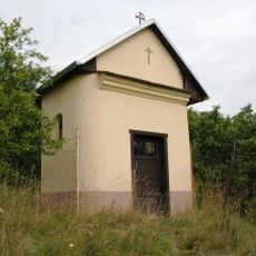
Chapel of Saint Sebastian
1.2 km
Boží muka
1.9 km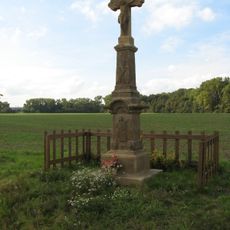
Krucifix
2.4 km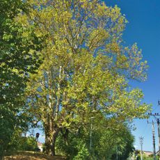
Platan javorolistý - Platanus x hybrida
2.7 km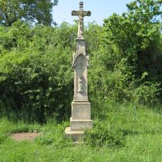
Krucifix
2.8 km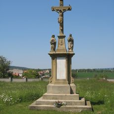
Krucifix
2.9 km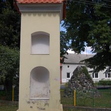
Boží muka
2.3 km
Domamyslický jilm
1.8 kmHeeft u deze plek bezocht? Tik op de sterren om een beoordeling te geven en uw ervaring of foto's te delen met de community! Probeer het nu! U kunt het op elk moment annuleren.
Ontdek verborgen schatten op elk avontuur!
Van karakteristieke kleine cafeetjes tot geheime uitzichtpunten – ontvlucht de drukte en vind plekken die echt bij jou passen. Onze app maakt het makkelijk: spraakzoekopdrachten, slimme filters, geoptimaliseerde routes en authentieke tips van reizigers wereldwijd. Download nu en beleef het avontuur op je smartphone!

Een nieuwe benadering van toeristische ontdekking❞
— Le Figaro
Alle plekken die de moeite waard zijn om te ontdekken❞
— France Info
Een uitstapje op maat in slechts een paar klikken❞
— 20 Minutes