
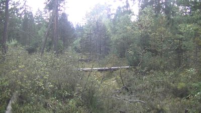
Losí blato u Mirochova, natuurgebied in Tsjechië
Locatie: Chlum u Třeboně
Locatie: Příbraz
Locatie: Stráž nad Nežárkou
Ontstaan: 31 december 1994
GPS-coördinaten: 49.00560,14.95860
Laatste update: 22 maart 2025 om 20:58
Oerbeukenbossen van de Karpaten en Oude beukenbossen van Duitsland
3.1 km
Fabián
3.9 km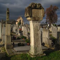
Stations of the cross (Lutová)
3.9 km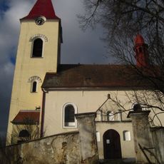
All Saints Church (Lutová)
4 km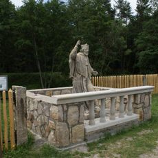
Socha svatého Jana Nepomuckého na hrázi Novomlýnského rybníka u hotelu Peršlák
5 km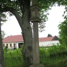
Boží muka
1.3 km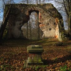
Ruined church of the Birth of Virgin Mary
4.2 km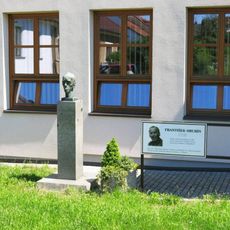
Pomník Františka Hrubína u knihovny na Náměstí v Chlumu u Třeboně
5.1 km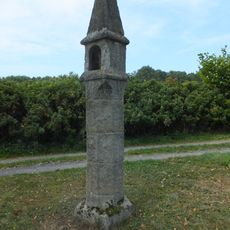
Wayside shrine in Žíteč
3.1 km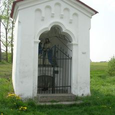
Kaple Loučení Panny Marie
3.8 km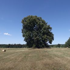
Lípa u lomu
1.8 km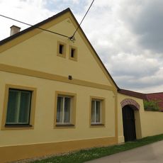
Lutová 36
4.2 km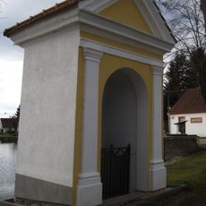
Chapel of Saint John of Nepomuk
3.9 km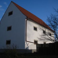
Granary
3.9 km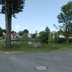
Kříž
3.3 km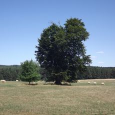
Buk na Skalkách
1.9 km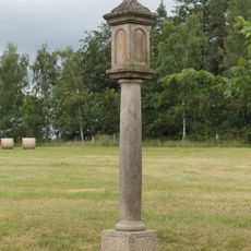
Boží muka
4 km
Sýpka
3.3 km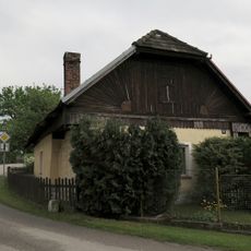
Dům čp. 9
3 km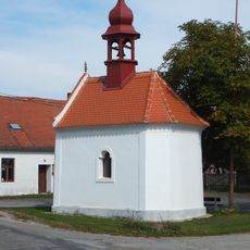
Kaple
3 km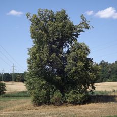
Lípa u Planinského rybníka
3.9 km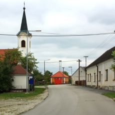
Kaple v Mirochově
1.4 km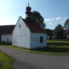
Chapel of the Assumption of the Virgin Mary
3.2 km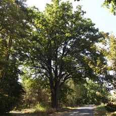
Dub na rozcestí
4.6 km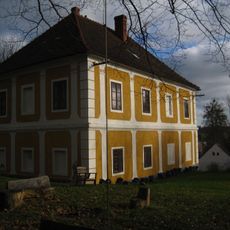
Rectory
4 km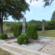
World War I memorial in Žíteč
3.1 km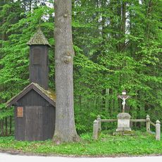
Glockenturm
5 km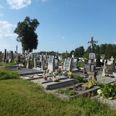
Hřbitov Chlum u Třeboně
4 kmHeeft u deze plek bezocht? Tik op de sterren om een beoordeling te geven en uw ervaring of foto's te delen met de community! Probeer het nu! U kunt het op elk moment annuleren.
Ontdek verborgen schatten op elk avontuur!
Van karakteristieke kleine cafeetjes tot geheime uitzichtpunten – ontvlucht de drukte en vind plekken die echt bij jou passen. Onze app maakt het makkelijk: spraakzoekopdrachten, slimme filters, geoptimaliseerde routes en authentieke tips van reizigers wereldwijd. Download nu en beleef het avontuur op je smartphone!

Een nieuwe benadering van toeristische ontdekking❞
— Le Figaro
Alle plekken die de moeite waard zijn om te ontdekken❞
— France Info
Een uitstapje op maat in slechts een paar klikken❞
— 20 Minutes